Electronic map slope data generation method
An electronic map and slope technology, which is applied in the field of rail transit, can solve the problems of high labor cost, tight construction period, and low efficiency, and achieve the effects of saving costs, reducing manpower consumption, and improving accuracy and work efficiency
- Summary
- Abstract
- Description
- Claims
- Application Information
AI Technical Summary
Problems solved by technology
Method used
Image
Examples
Embodiment Construction
[0038] The specific embodiments of the present invention will be further described below in conjunction with the accompanying drawings. The following examples are only used to illustrate the technical solution of the present invention more clearly, but not to limit the protection scope of the present invention.
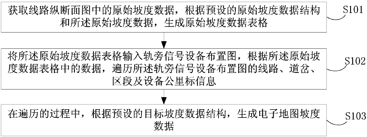
[0039] figure 1 It shows a schematic flowchart of a method for generating electronic map slope data provided by this embodiment, including:
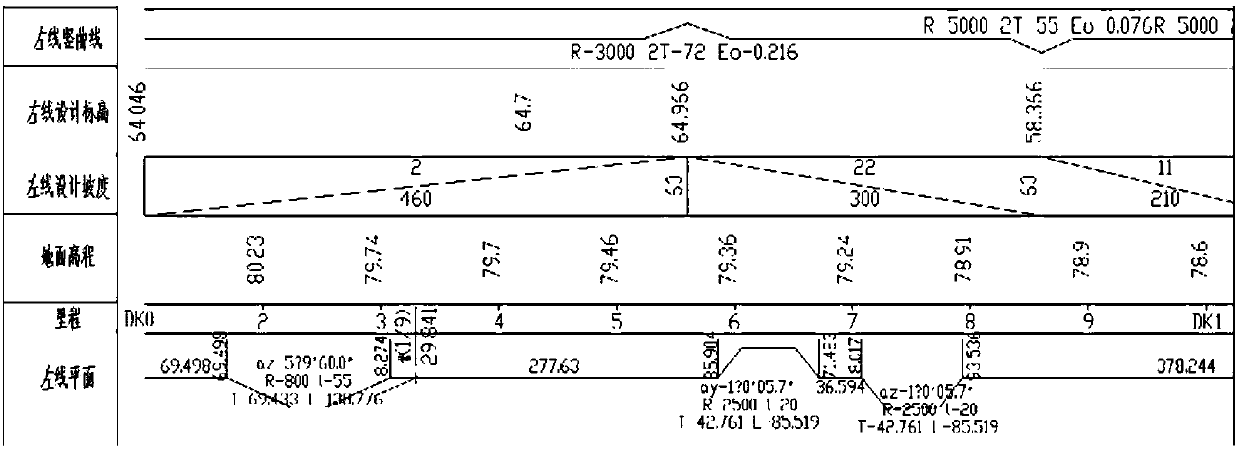
[0040] S101. Acquire original slope data in a line profile view, and generate an original slope data table according to a preset original slope data structure and the original slope data.
[0041] The preset original slope data structure includes: the slope start kilometer mark, the slope end point kilometer mark, the slope value of the section line, and the radius of the vertical curve.
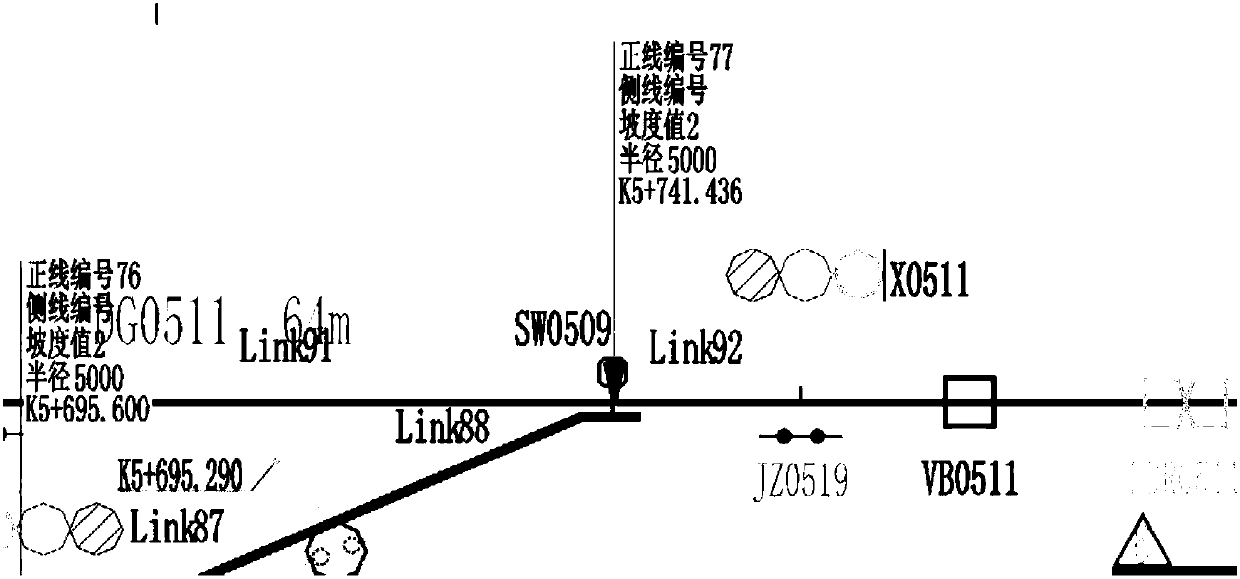
[0042] S102. Input the original slope data table into the trackside signal equipment layout diagram, and traverse the line, turnout, sectio...
PUM
 Abstract
Description
Claims
Application Information
 - R&D
- Intellectual Property
- Life Sciences
- Materials
- Tech Scout
- Unparalleled Data Quality
- Higher Quality Content
- 60% Fewer Hallucinations
Browse by: Latest US Patents, China's latest patents, Technical Efficacy Thesaurus, Application Domain, Technology Topic, Popular Technical Reports.
© 2025 PatSnap. All rights reserved.Legal|Privacy policy|Modern Slavery Act Transparency Statement|Sitemap|About US| Contact US: help@patsnap.com


