
Unmanned aerial vehicle cooperative monitoring and tracking method

A technology of unmanned aerial vehicle and movement direction, applied in the field of unmanned aerial vehicle, can solve the problems of low positioning accuracy, consumption of base station signaling energy resources, and high computational complexity, so as to reduce computational complexity, reduce frequent signaling and Data interaction, the effect of narrowing the search scope

Active Publication Date: 2018-11-13
BEIJING UNIV OF POSTS & TELECOMM
View PDF7 Cites 12 Cited by
  • Summary
  • Abstract
  • Description
  • Claims
  • Application Information

AI Technical Summary

Problems solved by technology

At present, base stations are used to locate UAVs, and global search and three-dimensional coordinates are used in the positioning process. In the entire positioning and tracking calculation process, more resources are occupied and the calculation complexity is higher.
[0005] In the current UAV collaboration technology solution, it is necessary to conduct a large-scale overall real-time positioning of the UAV through the base station, and the positioning accuracy is not high, which makes the calculation amount in the entire positioning process complex and huge, thus consuming base station signaling and energy consumption. resource
Especially when a large number of large-scale UAVs are working together, the existing solutions cannot effectively complete related tasks due to massive positioning and frequent signaling requests.

Method used


Image

  • Unmanned aerial vehicle cooperative monitoring and tracking method
  • Unmanned aerial vehicle cooperative monitoring and tracking method
  • Unmanned aerial vehicle cooperative monitoring and tracking method

Examples


Embodiment Construction

[0051] In order to make the purpose, technical solutions and advantages of the present application clearer, the present application will be further described in detail below with reference to the accompanying drawings and examples.

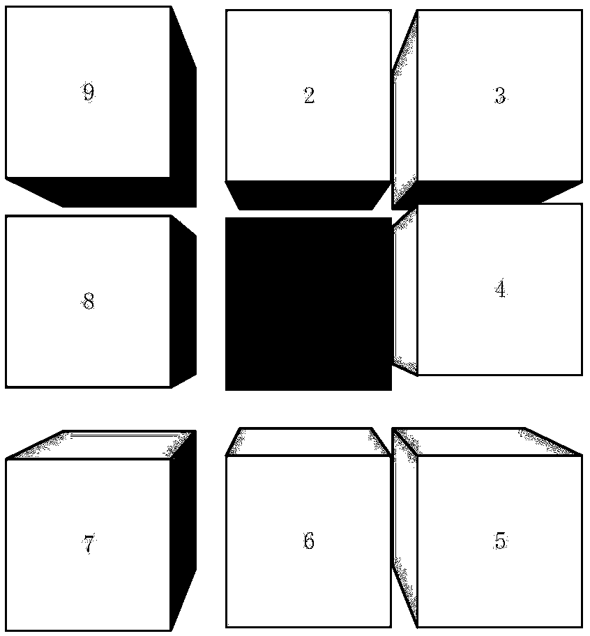
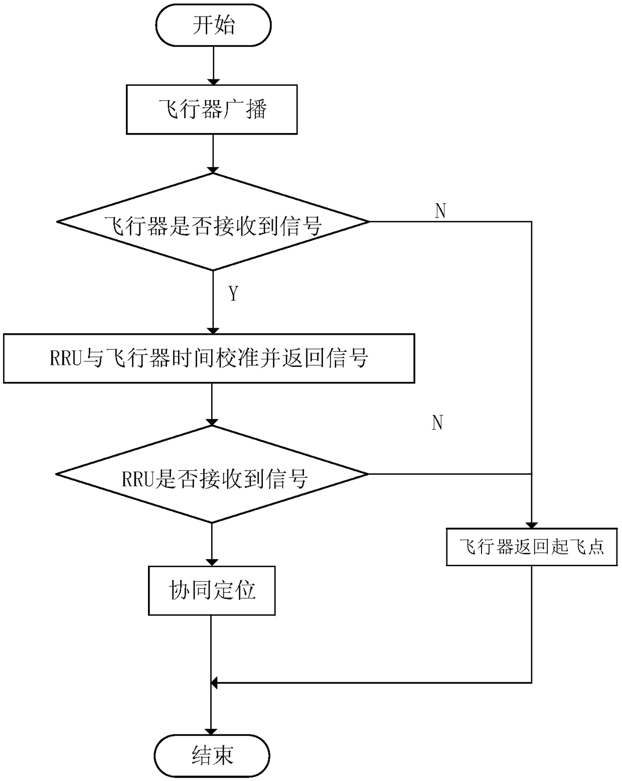
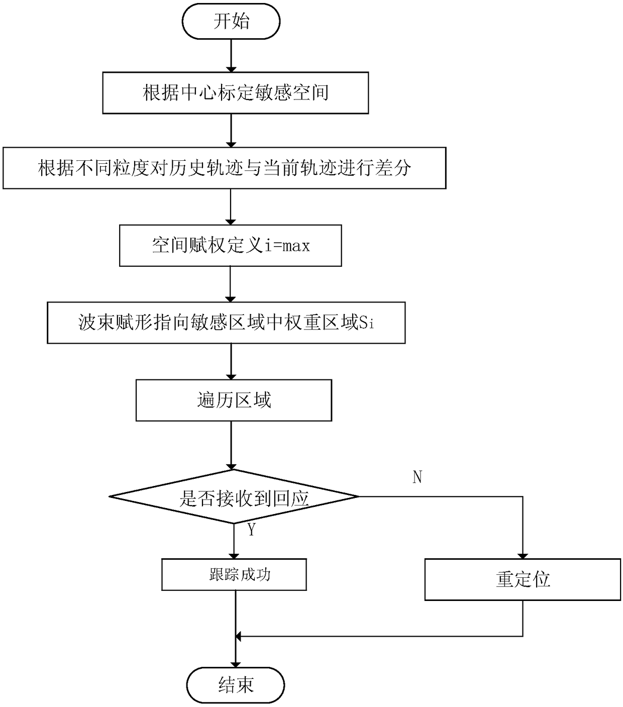
[0052] Based on the centralized radio access network (C-RAN: Centralized Radio Access Network) communication architecture, the present invention proposes two methods for collaborative tracking of authenticated UAVs, with the purpose of reducing the identification and tracking of slow and low-altitude small UAVs The computational complexity of the process increases the monitoring sensitivity and enhances the real-time performance of the tracking process. In particular, under the requirements of massive and large-scale Internet of Things scenarios, the calculation burden of the base station should be reduced as much as possible. Since the UAV has the characteristics of low altitude and slow speed during flight, and the motion track has continuity, th...


PUM


Abstract

The invention discloses an unmanned aerial vehicle cooperative monitoring and tracking method. The unmanned aerial vehicle cooperative monitoring and tracking method includes the steps: dividing monitoring target space into a plurality of stereo spaces, and numbering the divided stereo space; and detecting the stereo space in which the unmanned aerial vehicle flies by remote radio units (RRU), andusing the stereo space number to track the unmanned aerial vehicle. The unmanned aerial vehicle cooperative monitoring and tracking method can reduce the calculating complexity during the process ofmonitoring and tracking the unmanned aerial vehicle.

Description

technical field [0001] The present application relates to the technical field of unmanned aerial vehicles, in particular to a method for collaborative monitoring and tracking of unmanned aerial vehicles. Background technique [0002] In recent years, with the continuous improvement of high-tech levels such as automation technology, computer technology, and electronic devices, the application field of unmanned aerial vehicles (also called drones or aircraft) has gradually expanded from the purely military field to the civilian field. , its popularity has been greatly improved, and its application is becoming more and more extensive. Civilian drones are mainly divided into two categories: consumer-grade and industrial-grade. Among them, consumer-grade drones are mostly used in personal aerial photography, entertainment and other fields; industrial-grade drones are widely used in agriculture, inspection, logistics, rescue and other fields. application. With the continuous and...

Claims


Application Information

Patent Timeline
Patent Type & Authority Applications(China)
IPC IPC(8): G05D1/12G01C21/20
CPCG01C21/20G05D1/12
Inventor 张兴王鹏张佳鑫王文博
Owner BEIJING UNIV OF POSTS & TELECOMM
Learn More