Terrain synthesis method with multi-scale detail fusion
A synthesis method and multi-scale technology, applied in the field of virtual simulation, can solve problems such as difficult convergence of network parameter training and complex network structure
- Summary
- Abstract
- Description
- Claims
- Application Information
AI Technical Summary
Problems solved by technology
Method used
Image


Examples
Embodiment
[0045] This embodiment is implemented under the Windows 10 64-bit operating system on the PC, and its hardware configuration is processor Core TM i5-7500 3.4GHz CPU, 8GB memory, the software environment is Matlab 2015b, the programming uses Python language, combined with the visual open source library OpenCV 2.4.4 and the open source raster spatial data conversion library GDAL.
[0046] This embodiment includes the following specific steps:
[0047] Step 1: Build the dataset
[0048] (1) Prepare elevation data block
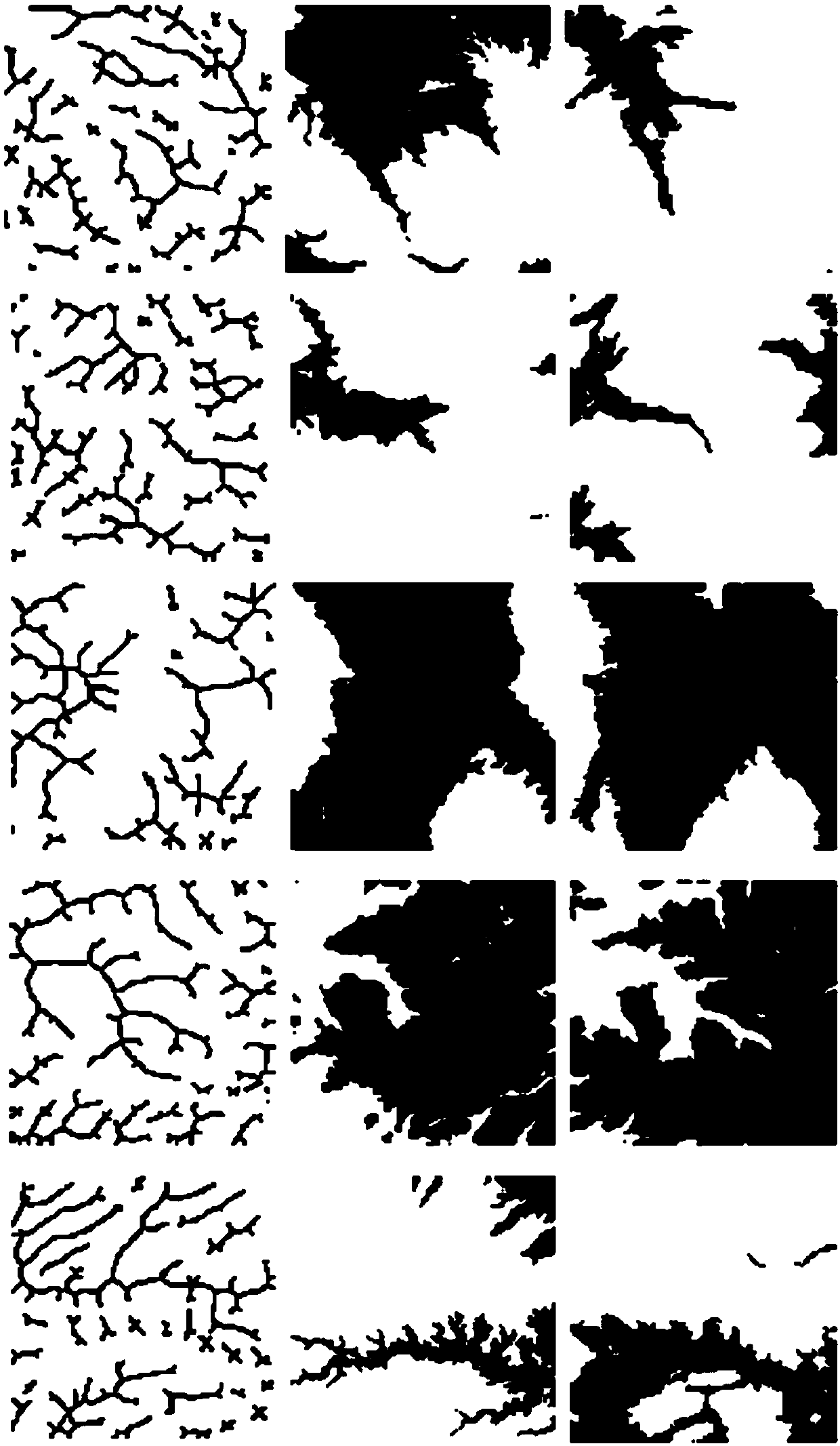
[0049] Download the elevation data block J of the WGS84 coordinate system from the SRTM website http: / / srtm.csi.cgiar.org and store it in tiff format. The spatial resolution is between 90m×90m and 200m×200m. The height is denoted as H A , build a grayscale image G according to the height information of J: the highest point corresponds to white, the lowest point corresponds to black, and the interpolation between the highest and lowest point is gray; the re...
PUM
 Abstract
Description
Claims
Application Information