Great circle route distance calculation method
A calculation method and a technology of a circular route, applied in the field of airborne flight management system, can solve problems such as algorithm precision errors, achieve high precision, wide applicability, and improve the effect of distance calculation accuracy
- Summary
- Abstract
- Description
- Claims
- Application Information
AI Technical Summary
Problems solved by technology
Method used
Image
Examples
Embodiment Construction
[0040] Below in conjunction with accompanying drawing, method of the present invention will be further described:
[0041] A method for calculating the distance of a great circle route, the specific execution steps are as follows:
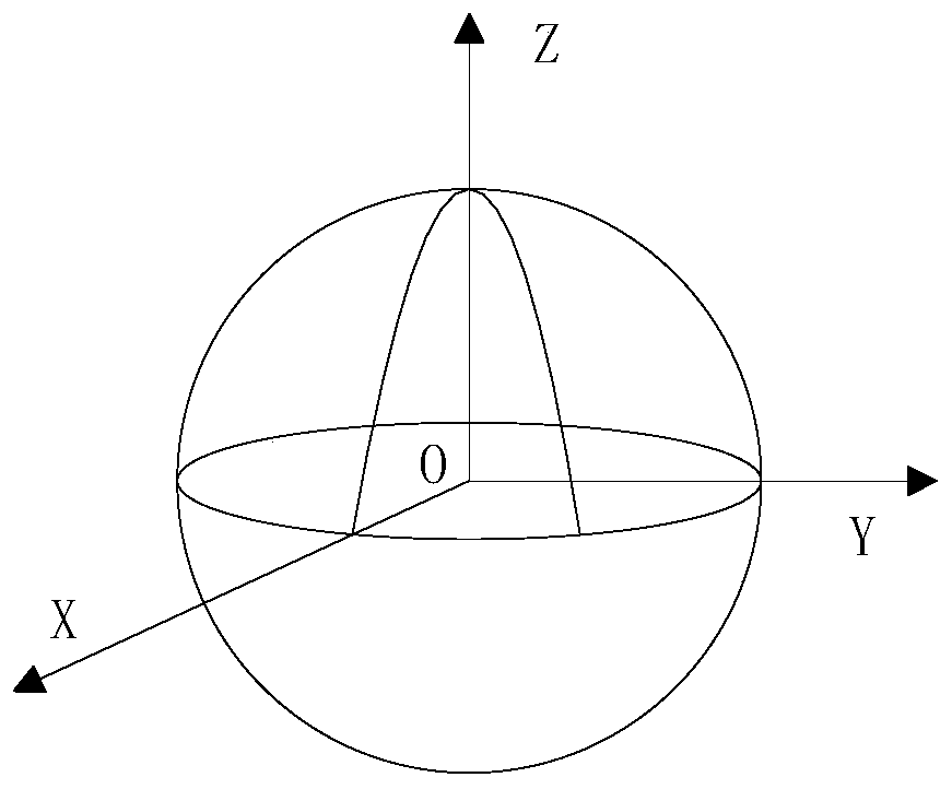
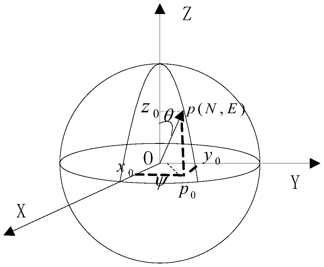
[0042] Step 1: First establish an ellipsoidal coordinate system for the earth: with the center of the earth as the origin, establish an O-XYZ coordinate system. The equator is the basic plane, and an axis perpendicular to the equatorial plane and passing through the center of the earth is called the Z axis, which points to the North Pole as positive; the axis which coincides with the prime meridian plane and the equatorial plane is called the X axis, which is positive to the east, and the Y axis and XZ The plane is perpendicular to the right-hand rule. Such as figure 1 shown.
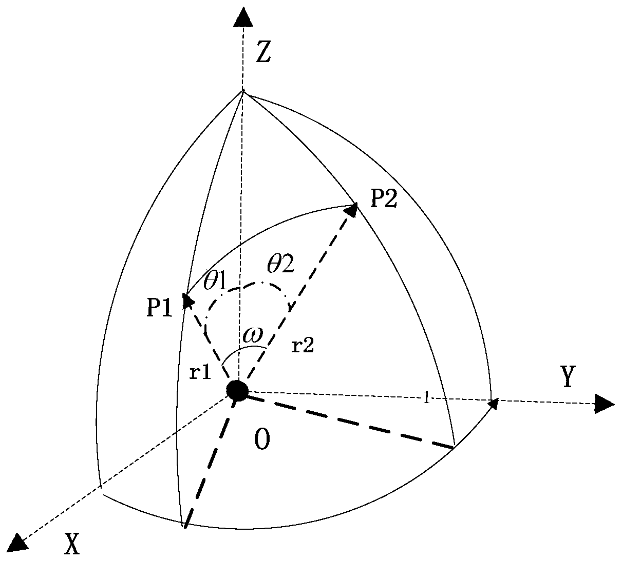
[0043] Step 2: Calculate the corresponding radii R1 and R2 of the starting point P1 and the ending point P2 of the flight segment in the ellipsoidal coordinate system;
...
PUM
 Abstract
Description
Claims
Application Information
 - R&D Engineer
- R&D Manager
- IP Professional
- Industry Leading Data Capabilities
- Powerful AI technology
- Patent DNA Extraction
Browse by: Latest US Patents, China's latest patents, Technical Efficacy Thesaurus, Application Domain, Technology Topic, Popular Technical Reports.
© 2024 PatSnap. All rights reserved.Legal|Privacy policy|Modern Slavery Act Transparency Statement|Sitemap|About US| Contact US: help@patsnap.com


