
Overground vegetation ecological water quantitative inversion method based on remote sensing technology
A remote sensing technology and vegetation technology, applied in neural learning methods, biological neural network models, instruments, etc., can solve the problems of not considering plant structure parameter information and inaccurate vegetation ecological water content, so as to improve the accuracy and accuracy of remote sensing inversion. High performance, solve the effect that is difficult to quantify
- Summary
- Abstract
- Description
- Claims
- Application Information
AI Technical Summary
Problems solved by technology
Method used
Image

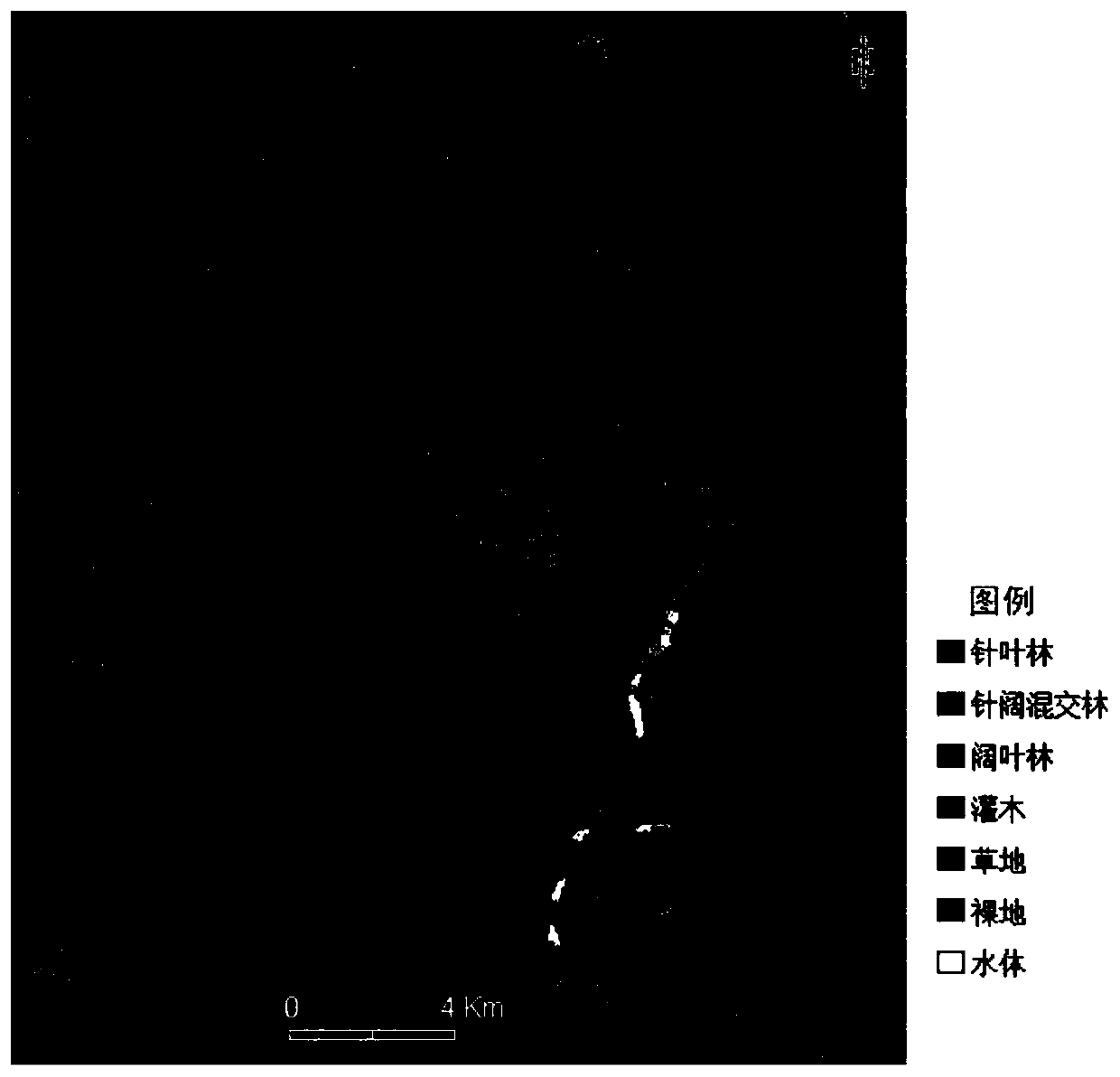
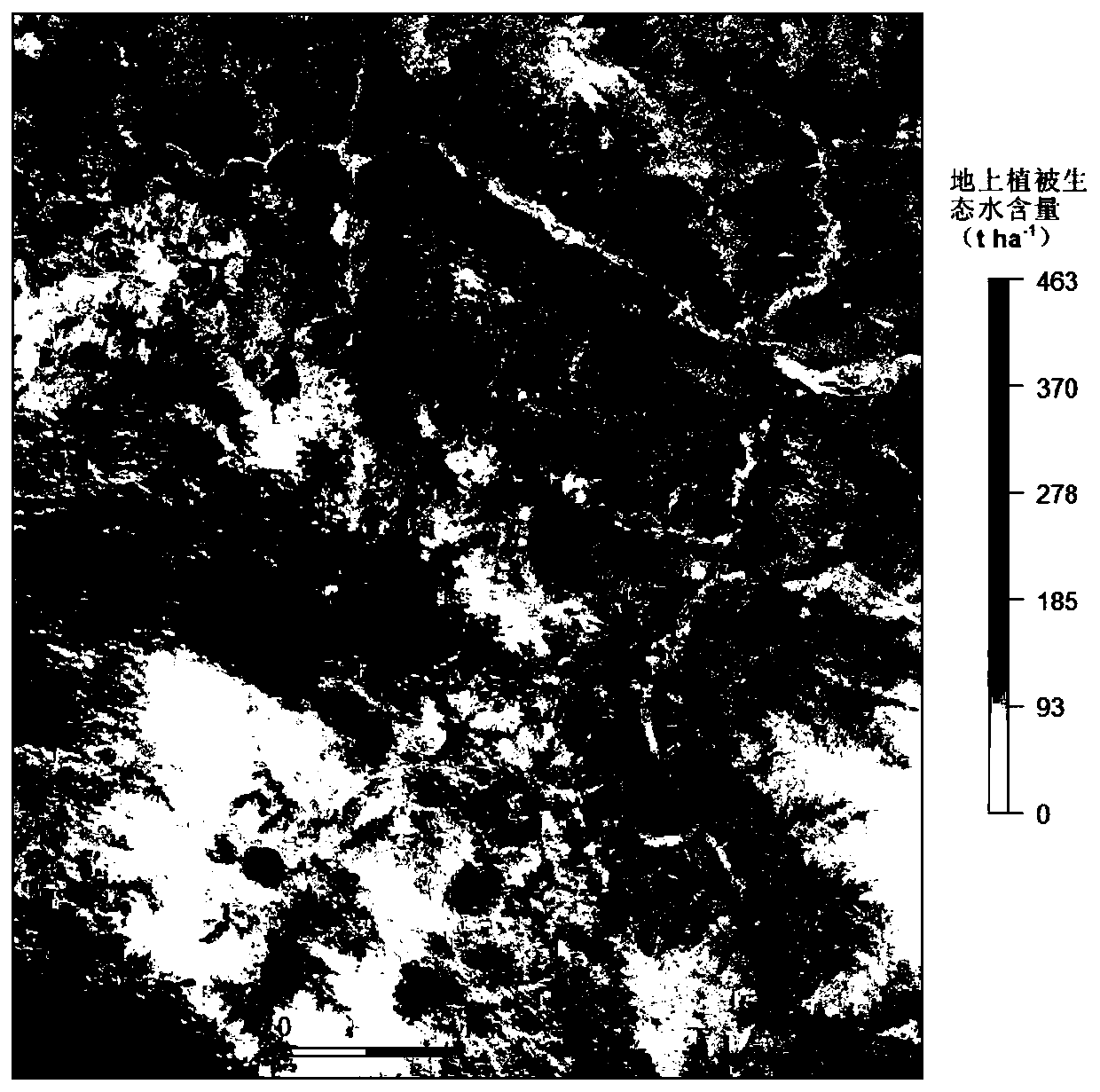
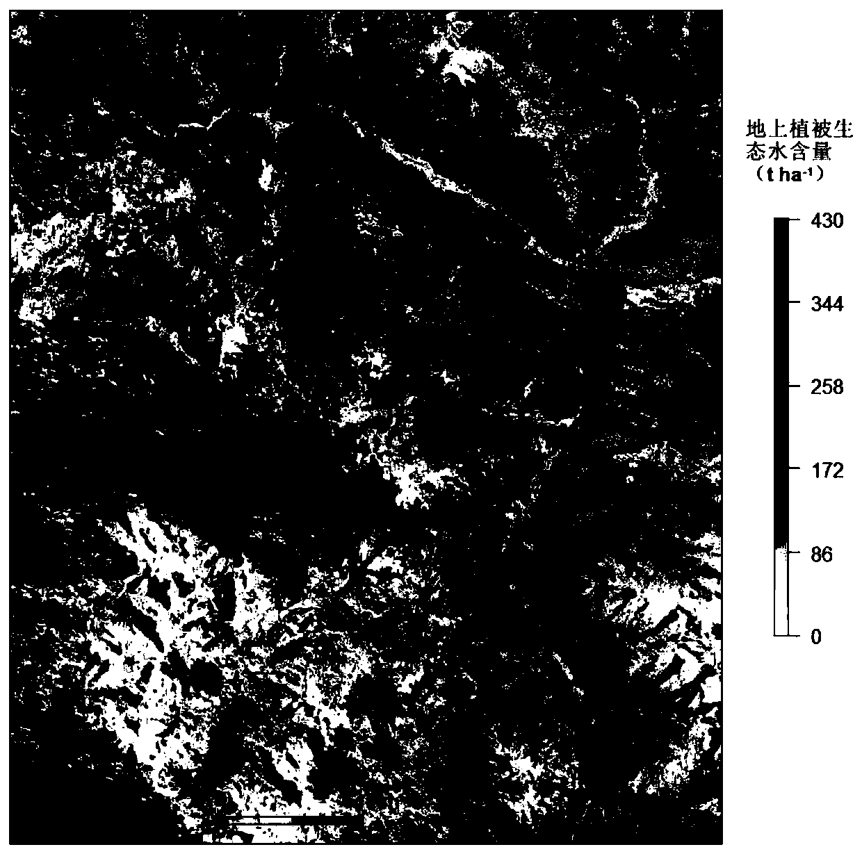
Examples
Embodiment Construction
[0043] In order to make the purpose, technical solutions and advantages of the present invention clearer, the present invention will be further described in detail below in conjunction with the examples and accompanying drawings. As a limitation of the present invention.
[0044] In this embodiment, local areas of the western Sichuan plateau are taken as an example, and according to the technical solution of the present invention, the calculation formula of vegetation ecological water is combined. Using multi-temporal multi-spectral remote sensing and microwave remote sensing (SAR) technology to invert the ecological water content of different types of plants on the ground, the steps are as follows:
[0045] Step 1: Scientifically select the research area and delineate the sample plot.
[0046] In this example, a part of the Western Sichuan Plateau is selected as the research area, and the sample area is a sample circle with a radius of 5 meters.
[0047] Step 2: Field data ...
PUM
 Abstract
Description
Claims
Application Information