High-resolution remote sensing image crop classification method based on deep learning

A remote sensing image, high-resolution technology, applied in the field of satellite remote sensing image processing and application, can solve the problems of inability to classify high-resolution remote sensing images, blurred boundaries of objects, and high algorithm complexity

Active Publication Date: 2019-09-27
JILIN UNIV
View PDF11 Cites 25 Cited by
  • Summary
  • Abstract
  • Description
  • Claims
  • Application Information

AI Technical Summary

Problems solved by technology

[0005] In order to solve the shortcomings of the existing high-resolution remote sensing images in the classification of crops, such as blurred boundaries of ground objects, high algorithm complexity, and ignoring characteristic band information, and the current neural network method cannot classify crops in high-resolution remote sensing images. , the present invention adopts a remote sensing image crop classification algorithm based on deep learning, which can quickly and effectively obtain crop classification information in high-resolution remote sensing satellite images

Method used


Image

  • High-resolution remote sensing image crop classification method based on deep learning
  • High-resolution remote sensing image crop classification method based on deep learning
  • High-resolution remote sensing image crop classification method based on deep learning

Examples


Embodiment 1

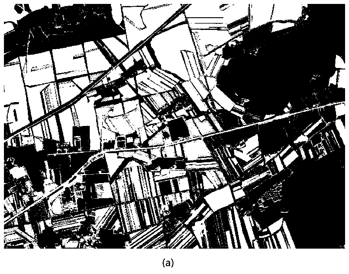
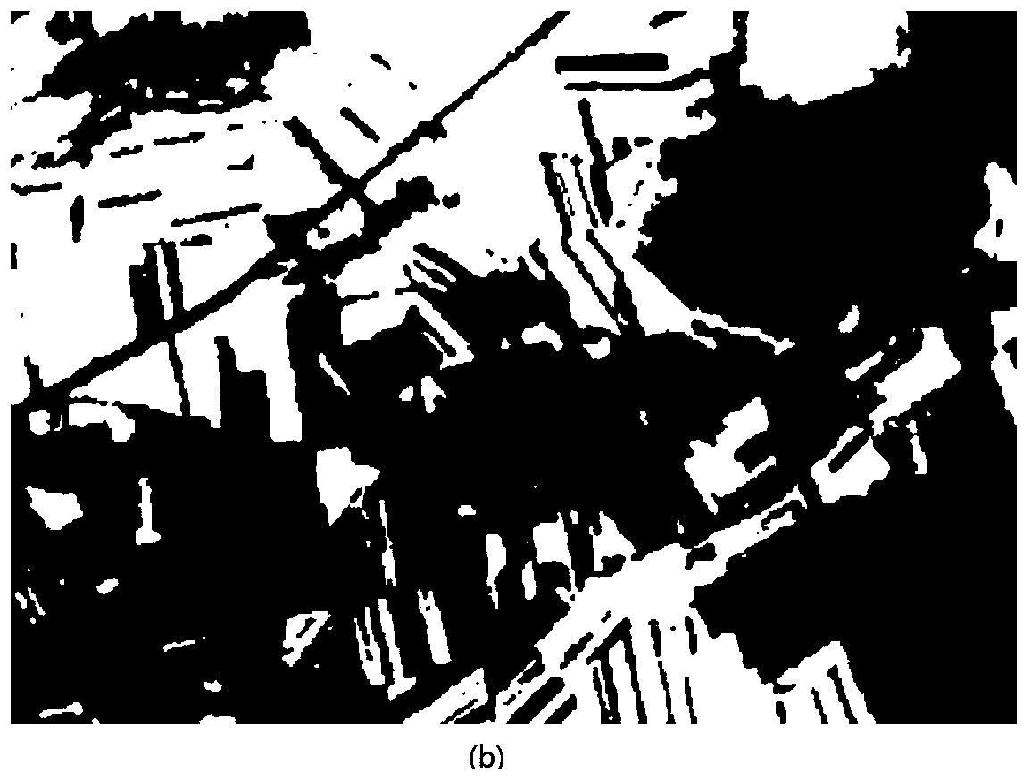
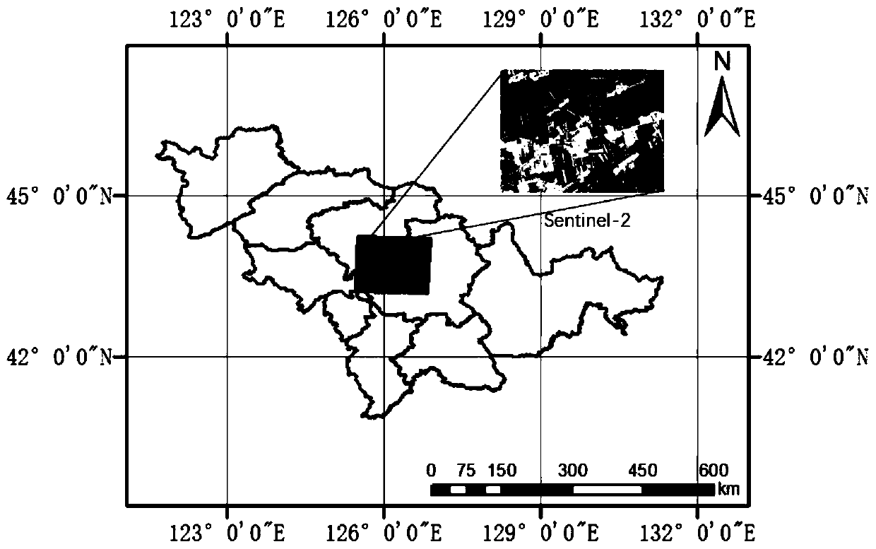
[0100] The VGG network is used to classify the combination of 36 characteristic bands, as shown in Table 1, and the multi-temporal Sentinel-2 image is used as the experimental data. The Sentinel-2 data has different band resolutions, namely 10m, 20m, and 60m. The data used in this paper are weighted to a uniform 10m resolution. Contains data of 3 scenes, acquired on June 15, 2017, July 18, 2017, and September 11, 2017. The experimental area is located near the Shitoukoumen Reservoir in Changchun City, Jilin Province ( figure 1 ), and the surrounding crops are densely planted, mostly rice, corn, soybeans and other common crops in Northeast China. The verification data of the experimental area were obtained through field observation and expert interpretation, and the results were used as the standard.

[0101] Table 1

[0102] Sentinel-2 band Center wavelength(um) resolution(m) B1-coast / aerosol band 0.443 60 B2-Blue Band 0.49 10 B3-Green band ...


PUM


Abstract

The invention discloses a high-resolution remote sensing image crop classification method based on deep learning, and belongs to the technical field of satellite remote sensing image processing and application. The objective of the invention is to solve the problems of fuzzy ground object boundary, high algorithm complexity, neglected characteristic waveband information and the like in crop classification of an existing high-resolution remote sensing image, and the problem that crop classification cannot be carried out on the high-resolution remote sensing image by using an existing neural network method. According to the method, a 36-waveband combination mode is adopted, a VGG neural network result is designed, deep learning of the VGG neural network is utilized, and accurate classification of crop plots in a high-resolution remote sensing image with the resolution of 10 m is achieved through multiple iterations.

Description

technical field [0001] The invention belongs to the technical field of satellite remote sensing image processing and application. Background technique [0002] The acquisition of crop classification information is of great significance in many fields such as agricultural resource survey, land use status analysis, crop yield estimation and disaster assessment, and has become one of the research hotspots in the field of remote sensing in recent years. Among the classification methods of many remote sensing images, the image classification method based on deep learning has attracted much attention since it was proposed, and it has opened up a new direction for image recognition and classification. In recent years, researchers at home and abroad have proposed many image classification methods based on deep learning. Representative studies are as follows: [0003] Different from traditional image classification methods, the addition of neural network algorithms has significantl...

Claims


Application Information

Patent Timeline
Patent Type & Authority Applications(China)
IPC IPC(8): G06K9/00G06K9/62
CPCG06V20/188G06F18/24G06F18/214
Inventor 顾玲嘉杨舒婷任瑞治
Owner JILIN UNIV
Why Eureka
Try Eureka