Method for calculating vegetation indexes based on mixed vegetation indexes
A vegetation index and data technology, applied in the field of vegetation remote sensing, can solve the problems of weak biomass performance, atmospheric sensitivity, and inability to show strong sensitivity and stability, and achieve high sensitivity results
- Summary
- Abstract
- Description
- Claims
- Application Information
AI Technical Summary
Problems solved by technology
Method used
Image
Examples
Embodiment Construction
[0017] In order to make the purpose, technical solution and advantages of the present invention clearer, the embodiments of the present invention will be further described below in conjunction with the accompanying drawings.
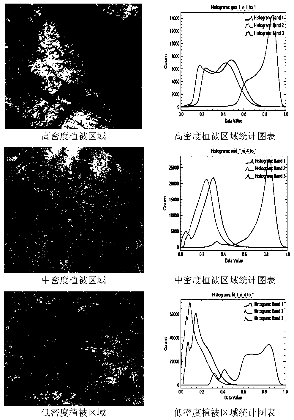
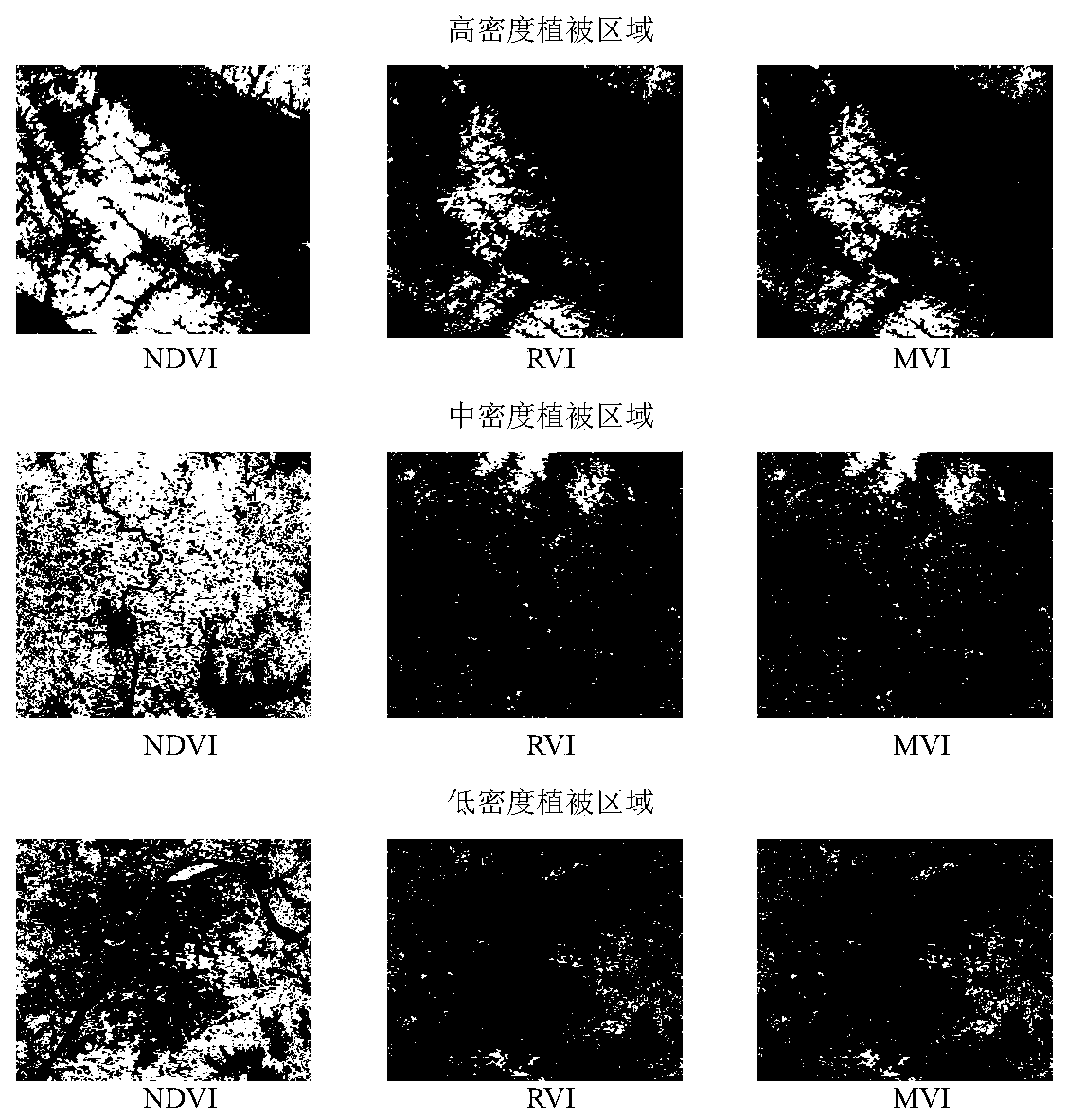
[0018] Please refer to figure 1 , the embodiment of the present invention provides a method for calculating vegetation index based on mixed vegetation index, which mainly includes the following steps: obtained by the following derivation process:
[0019] S1. Obtain the remote sensing image data of the research area from the USGS platform, and preprocess the acquired remote sensing image data in the ENVI software to obtain the preprocessed remote sensing image data; wherein, the preprocessing includes radiometric calibration and atmospheric Correction;
[0020] S2. Input the formula of the mixed vegetation index in the band calculation tool under the ENVI software, and calculate the vegetation index of each pixel point in the preprocessed remote sensing...
PUM
 Abstract
Description
Claims
Application Information
 - R&D
- Intellectual Property
- Life Sciences
- Materials
- Tech Scout
- Unparalleled Data Quality
- Higher Quality Content
- 60% Fewer Hallucinations
Browse by: Latest US Patents, China's latest patents, Technical Efficacy Thesaurus, Application Domain, Technology Topic, Popular Technical Reports.
© 2025 PatSnap. All rights reserved.Legal|Privacy policy|Modern Slavery Act Transparency Statement|Sitemap|About US| Contact US: help@patsnap.com


