

Calculation method of water area remote sensing information of Landsat satellite sensors
A calculation method and sensor technology, applied in the field of remote sensing, can solve the problems of misjudging water areas as land areas and not taking them into account, and achieve the effect of reducing labor and improving extraction accuracy
- Summary
- Abstract
- Description
- Claims
- Application Information
AI Technical Summary
Problems solved by technology
Method used
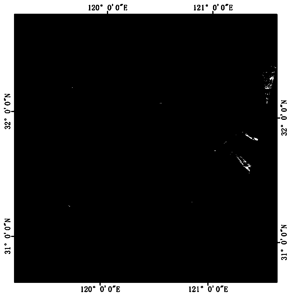
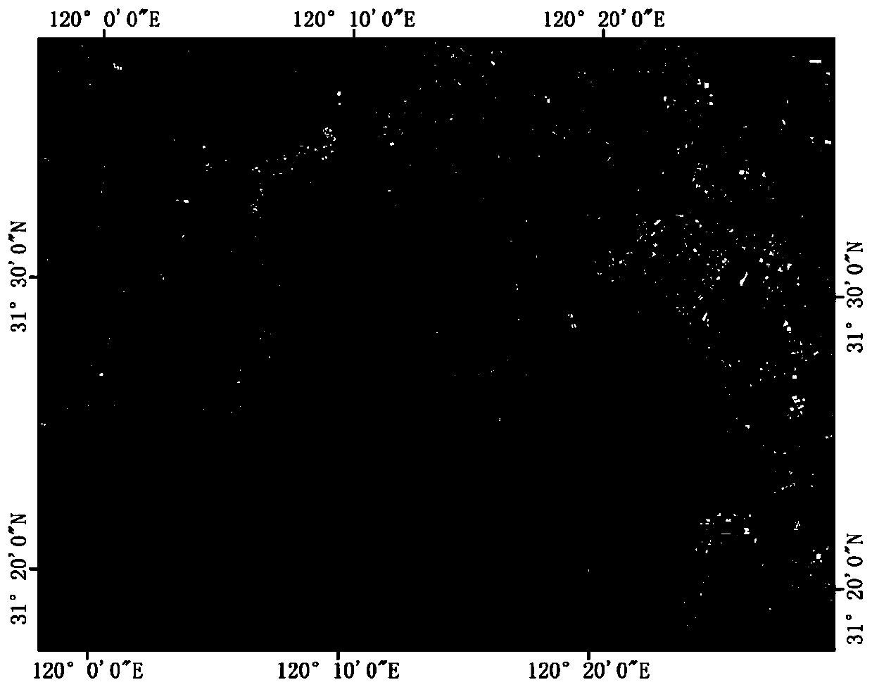
Image

Examples
Embodiment Construction
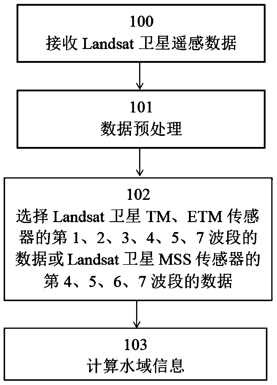
[0037] The embodiments of the present invention are described in detail below in conjunction with the accompanying drawings: this embodiment is implemented on the premise of the technical solution of the present invention, and detailed implementation methods and specific operating procedures are provided, but the protection scope of the present invention is not limited to the following the described embodiment.
[0038] Such as figure 1 Shown, be the method flow diagram of the present invention, the calculation method of Landsat satellite sensor water area remote sensing information, comprises the following steps:
[0039] Step 100, receiving Landsat satellite remote sensing data;
[0040] Step 101, data preprocessing;
[0041] Step 102, select the data of the 1st, 2, 3, 4, 5, 7 bands of Landsat satellite TM, ETM sensor or the data of the 4th, 5, 6, 7 bands of Landsat satellite MSS sensor;
[0042] Step 103, calculate the information of the water area, and those who satisfy...
PUM
 Abstract
Description
Claims
Application Information