
High-accuracy mapping system of engineering

A high-precision, engineering technology, applied in the field of surveying and mapping systems, can solve problems that cannot fully meet the needs of field scientific research surveying and mapping, and achieve the effect of overcoming the impact of adverse environmental factors on measurement, overcoming time window restrictions, and efficient measurement results

Active Publication Date: 2020-02-07
63653 FORCES PLA
View PDF9 Cites 6 Cited by
  • Summary
  • Abstract
  • Description
  • Claims
  • Application Information

AI Technical Summary

Problems solved by technology

[0003] Since the main function of conventional optical surveying and mapping equipment is for the production of relatively specific engineering surveying or surveying and mapping products, it cannot fully meet the needs of field scientific research and mapping. It must be designed and established for the comprehensive needs of field scientific research tasks in multidisciplinary fields and the technical difficulties of engineering surveying and mapping. , reliable field scientific research surveying and mapping system

Method used


Image

  • High-accuracy mapping system of engineering
  • High-accuracy mapping system of engineering
  • High-accuracy mapping system of engineering

Examples


Embodiment Construction

[0034] The following will clearly and completely describe the technical solutions in the embodiments of the present invention with reference to the accompanying drawings in the embodiments of the present invention. Obviously, the described embodiments are only some, not all, embodiments of the present invention. Based on the embodiments of the present invention, all other embodiments obtained by persons of ordinary skill in the art without making creative efforts belong to the protection scope of the present invention.

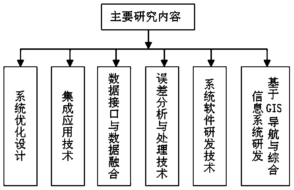
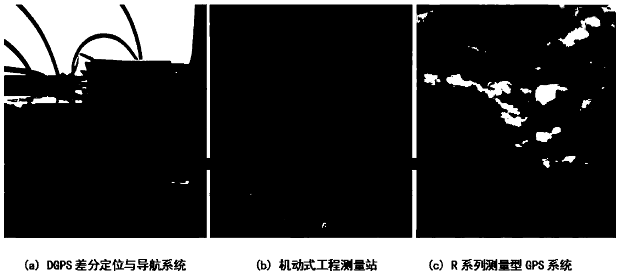
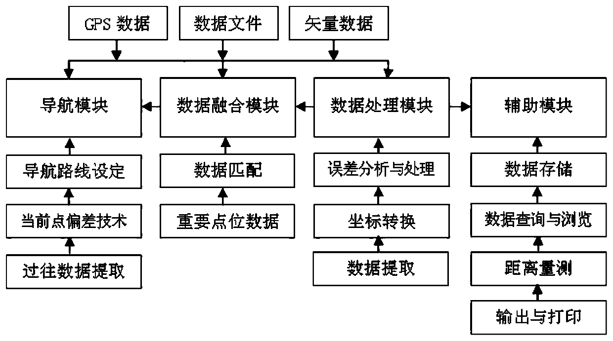
[0035] In the embodiment of the present invention, the engineering high-precision surveying and mapping system includes a motorized reference station, a DGPS differential positioning and navigation system, an R series surveying GPS system, and communication data link equipment. The motorized reference station includes a hardware system, data processing software, data Chain system, hardware system includes measurement system, data transmission system, mobile eng...


PUM


Abstract

The invention discloses a high-accuracy mapping system of engineering. The high-accuracy mapping system comprises a maneuvering reference station, a DGPS differential positioning and navigation system, a R-series measurement GPS system and communication data link equipment, wherein the maneuvering reference station comprises a hardware system, data processing software and a data link system, the hardware system comprises a measurement system, a data transmission system and a maneuvering engineering vehicle, and the data processing software comprises a navigation module, a data fusion module, adata processing module and an auxiliary module. The system software is automatically researched, the problems of data acquisition, data function and algorithm of different measurement objects in different fields are solved, and a mapping technological method of special engineering is built. Networking can be efficiently performed to implement mapping task, the special requirement of the task on high-accuracy measurement is met, and the measurement result reaches national specification standard and is efficient and reliable.

Description

technical field [0001] The invention relates to a surveying and mapping system, in particular to an engineering high-precision surveying and mapping system. Background technique [0002] In the field scientific research tasks undertaken in multi-disciplinary fields, high-precision basic geographic information measurement has become an important technical support for the completion of various scientific research tasks. Different from conventional surveying and mapping production, field scientific research tasks have the following characteristics for basic geographic information requirements: 1. The measurement objects are multidisciplinary. The main surveying and mapping needs in the field of scientific research: engineering surveying, geodesy, digital photogrammetry and digital cartography, large-scale topographic map surveying and mapping, astronomical geodesy, geological exploration and geophysical profiles and digital stakeout surveys, etc. Involving multiple surveying a...

Claims


Application Information

Patent Timeline
Patent Type & Authority Applications(China)
IPC IPC(8): G01C15/00
CPCG01C15/00
Inventor 不公告发明人
Owner 63653 FORCES PLA
Learn More