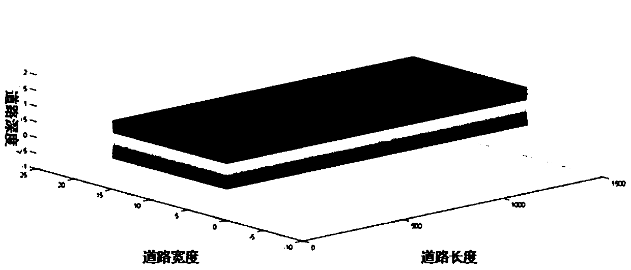
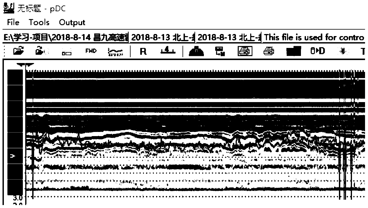
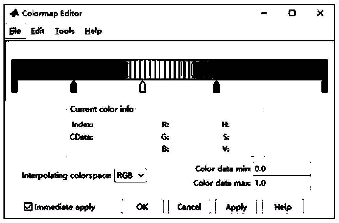
Two-dimensional ground penetrating radar three-dimensional imaging method based on MATLAB
A technology of ground penetrating radar and three-dimensional imaging, which is applied in image data processing, reflection/re-radiation of radio waves, and re-radiation using radio waves. Effect
- Summary
- Abstract
- Description
- Claims
- Application Information
AI Technical Summary
Problems solved by technology
Method used
Image
Examples
Embodiment Construction
[0061] In order to make the object, technical solution and advantages of the present invention clearer, the present invention will be further described in detail below in conjunction with the accompanying drawings and embodiments. It should be understood that the specific embodiments described here are only used to explain the present invention, not to limit the present invention.
[0062] The two-dimensional GPR three-dimensional imaging method based on MATLAB of the embodiment of the present invention comprises the following steps:
[0063] (1) Preparatory work, as follows:
[0064] i. Radar debugging: In order to ensure the smooth progress of data collection, all equipment must be assembled and debugged indoors before the test, the required instruments and equipment must be fully prepared, and all instruments must be able to work normally;
[0065] ii. On-site confirmation: determine the relevant road sections for data collection, contact the accompanying personnel on the ...
PUM
 Abstract
Description
Claims
Application Information
 - R&D
- Intellectual Property
- Life Sciences
- Materials
- Tech Scout
- Unparalleled Data Quality
- Higher Quality Content
- 60% Fewer Hallucinations
Browse by: Latest US Patents, China's latest patents, Technical Efficacy Thesaurus, Application Domain, Technology Topic, Popular Technical Reports.
© 2025 PatSnap. All rights reserved.Legal|Privacy policy|Modern Slavery Act Transparency Statement|Sitemap|About US| Contact US: help@patsnap.com


