A Simulation Method of Land Surface Temperature with Spatial Continuity
A technology of spatial continuity and surface temperature, which is applied in the field of remote sensing simulation, can solve problems such as lack of spatial continuity, non-existence, and disregard of lateral heat conduction, and achieve the effect of increasing speed
- Summary
- Abstract
- Description
- Claims
- Application Information
AI Technical Summary
Problems solved by technology
Method used
Image
Examples
Embodiment Construction
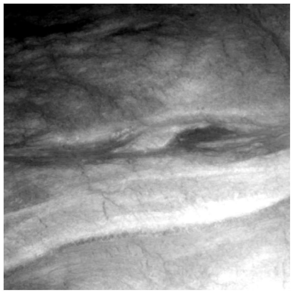
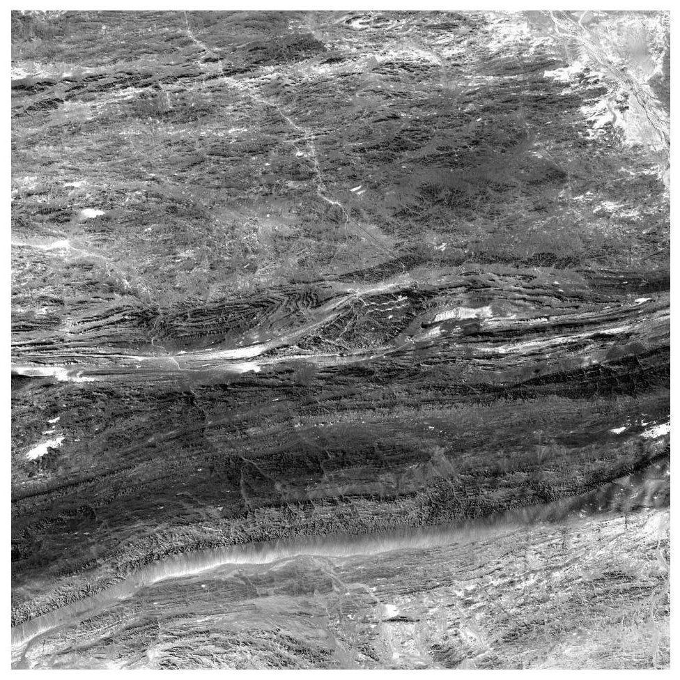
[0038] In order to better illustrate the simulation method of the large-scale high-spatial-resolution temperature distribution map involved in the present invention, the DEM data of the ASTER satellite, the short-wave reflectance image of HYMAP, the long-wave emissivity image obtained by using the simulation of the USGS spectral library and the use of ASTER SPECTRAL LIBRARY performs land surface temperature simulation on the classification map of ground object classification.
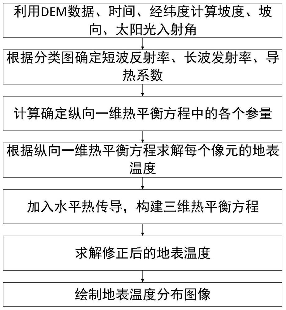
[0039] The present invention is a ground surface temperature simulation method with spatial continuity, the realization process is shown in figure 1 As shown, the steps are as follows:
[0040] (1) Use DEM data, time, latitude and longitude to calculate the slope, aspect, and sunlight incident angle of each pixel: use the DEM data to calculate the slope and aspect value at each pixel through the slope aspect calculation formula, and combine the time , longitude and latitude to further calculate the inc...
PUM
 Abstract
Description
Claims
Application Information
 - R&D
- Intellectual Property
- Life Sciences
- Materials
- Tech Scout
- Unparalleled Data Quality
- Higher Quality Content
- 60% Fewer Hallucinations
Browse by: Latest US Patents, China's latest patents, Technical Efficacy Thesaurus, Application Domain, Technology Topic, Popular Technical Reports.
© 2025 PatSnap. All rights reserved.Legal|Privacy policy|Modern Slavery Act Transparency Statement|Sitemap|About US| Contact US: help@patsnap.com


