Cooperative navigation method among small astro-probes
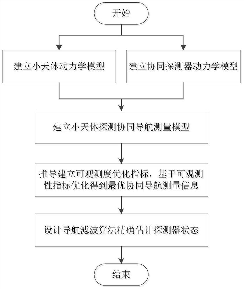
A collaborative navigation and detector technology, applied in the field of deep space exploration, can solve the problem of large influence of navigation measurement information on estimation accuracy, and achieve the effect of improving observability, improving observability and accuracy, and realizing high-precision navigation estimation.
- Summary
- Abstract
- Description
- Claims
- Application Information
AI Technical Summary
Problems solved by technology
Method used
Image
Examples
Embodiment 1
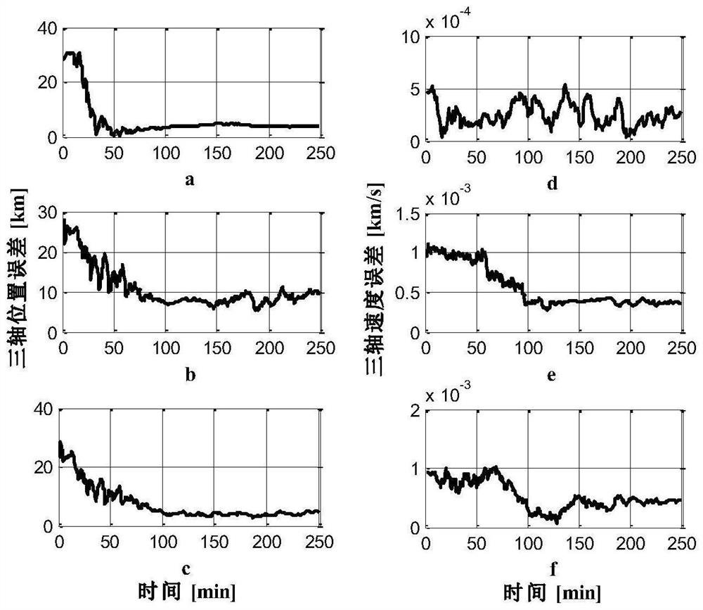
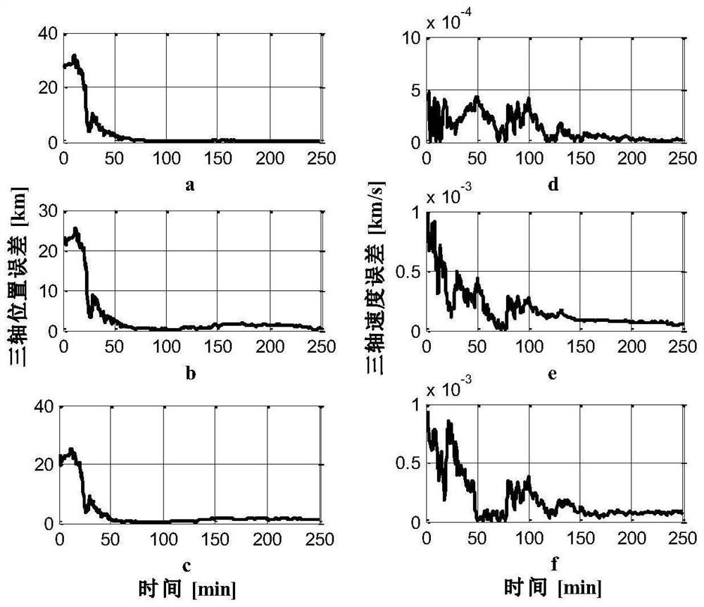
[0056] This example is aimed at the approaching section of small celestial bodies, taking two cooperative detectors as an example to verify and analyze the optimization method of cooperative navigation measurement information. By introducing collaborative measurement information, the observability and accuracy of the navigation system are improved. Based on the observability analysis, the cooperative navigation measurement information is optimized and selected to further improve the observability and accuracy of the navigation system. The resolution of the camera is 1024×1024, and the field of view of the camera is 10°. The initial state of detector A in the heliocentric inertial system is [-87661306km, -190962919km, -81325101km, -9.13km / s, -10.79km / s, -6.67km / s]. The initial state under is [-87657556km, -190968450km, -81317523km, -8.69km / s, -10.44km / s, -6.72km / s], and the initial state of the small celestial body in the heliocentric inertial system is [-87706306km, -1910079...
PUM
 Abstract
Description
Claims
Application Information
 - R&D
- Intellectual Property
- Life Sciences
- Materials
- Tech Scout
- Unparalleled Data Quality
- Higher Quality Content
- 60% Fewer Hallucinations
Browse by: Latest US Patents, China's latest patents, Technical Efficacy Thesaurus, Application Domain, Technology Topic, Popular Technical Reports.
© 2025 PatSnap. All rights reserved.Legal|Privacy policy|Modern Slavery Act Transparency Statement|Sitemap|About US| Contact US: help@patsnap.com


