
Remote sensing ridge boundary line detection method and system based on artificial intelligence, computer equipment and storage medium

A technology of artificial intelligence and detection methods, applied in the information field, can solve problems such as not being able to detect the boundaries of field ridges well, and achieve the effect of alleviating time-consuming and labor-intensive statistics of field ridges

Pending Publication Date: 2021-07-16
XIAN MICROELECTRONICS TECH INST +1
View PDF5 Cites 2 Cited by
  • Summary
  • Abstract
  • Description
  • Claims
  • Application Information

AI Technical Summary

Problems solved by technology

[0004] The purpose of the present invention is to provide a remote sensing field ridge boundary detection method, system, computer equipment and storage medium based on artificial intelligence, which solves the problem that the existing technology cannot detect the field ridge boundary well

Method used


Image

  • Remote sensing ridge boundary line detection method and system based on artificial intelligence, computer equipment and storage medium
  • Remote sensing ridge boundary line detection method and system based on artificial intelligence, computer equipment and storage medium
  • Remote sensing ridge boundary line detection method and system based on artificial intelligence, computer equipment and storage medium

Examples


Embodiment Construction

[0040] The present invention will be further described in detail below in conjunction with specific embodiments, which are explanations of the present invention rather than limitations.

[0041] The invention discloses an artificial intelligence-based remote sensing field ridge boundary detection method, comprising the following steps:

[0042] Step 1. Multi-scale segmentation of remote sensing field ridges

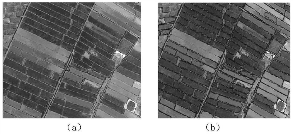
[0043] The principle of multi-scale segmentation is the minimum heterogeneity, and the segmentation result is obtained by merging adjacent small objects, that is, the method with the minimum heterogeneity within the object. During the experiment, by comparing various segmentation methods, such as Mean-Shift segmentation algorithm, chessboard segmentation method, quadtree segmentation method, etc., the effect of multi-scale segmentation is not good, so the multi-scale segmentation algorithm is finally used to realize the segmentation of remote sensing ridges.

[0044] The...


PUM


Abstract

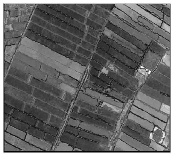
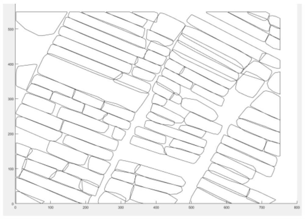
The invention belongs to the technical field of information, and discloses a remote sensing ridge boundary line detection method based on artificial intelligence, which comprises the following steps: 1, multi-scale segmentation of a remote sensing ridge: segmenting a remote sensing ridge image by using a multi-scale segmentation algorithm to obtain a segmented image formed by a plurality of segmented areas; 2, region merging: merging bad regions in the segmented image, and filtering out the bad regions to obtain final segmented areas; and 3, ridge boundary line detection: detecting the boundaries of the final segmented areas, and forming a closed area to obtain a ridge boundary line. The invention further discloses a system based on the detection method, a computer and a storage medium. According to the method, the plot ridges in the remote sensing image can be accurately and completely extracted, the problem of time and labor consumption of artificial ridge statistics can be relieved, and great convenience is brought to ridge statistics.

Description

technical field [0001] The invention belongs to the field of information technology, and in particular relates to an artificial intelligence-based remote sensing field ridge boundary detection method, system, computer equipment and storage medium. Background technique [0002] There are generally very obvious boundaries around the cultivated land. From the perspective of the characteristic structure, the ridge is the main boundary of the farmland. The accurate extraction of the ridge can help to quickly and conveniently count the use of farmland. The current linear feature extraction algorithm is mainly aimed at the extraction of strong feature information such as roads and rivers in the image, and the extraction of land parcel information mainly relies on the detection of field ridges. At present, there are very few researches on the detection and research of ridge boundaries. The main ridge boundary detection techniques are as follows: [0003] The ridge boundary is extra...

Claims


Application Information

Patent Timeline
Patent Type & Authority Applications(China)
IPC IPC(8): G06T7/13G06T7/11G06T7/187
CPCG06T7/13G06T7/11G06T7/187G06T2207/10032G06T2207/30188
Inventor 张翔唐磊钟升匡乃亮范建平罗迒哉
Owner XIAN MICROELECTRONICS TECH INST
Learn More