DEM-based dynamic basin sediment yield simulation method
A simulation method and dynamic technology, applied in the field of DEM-based dynamic river basin sediment yield simulation, can solve the problems that cannot reflect the unique erosion characteristics, have not been developed, and lack evaluation models for water and soil loss
- Summary
- Abstract
- Description
- Claims
- Application Information
AI Technical Summary
Problems solved by technology
Method used
Image
Examples
Embodiment 1
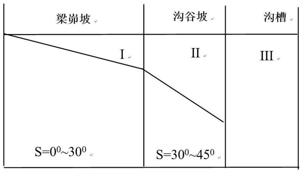
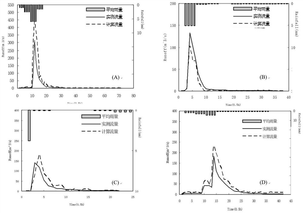
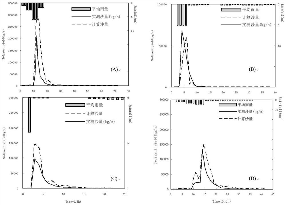
[0125] The loess gully area has high density of main gullies, broken terrain, sparse vegetation, loose soil, heavy rainfall and serious erosion. The main landforms of the loess gully area can be summarized into two types: valley land and gully land. Due to the strong slope cutting, broken terrain, vertical and horizontal gullies, and long-term irrational land use, the vegetation is scarce, the heavy rain is concentrated and strong, and the soil erosion is extremely serious. The soil erosion modulus is mostly 10,000 t / (km2 Above a) and up to 30,000 t / (km2·a) in some areas, which is the main source of coarse sediment in the Yellow River. This application selects the Chabagou watershed, a typical small watershed with relatively complete observation data in this area, to study the erosion and sediment yield model. The slope of the loess gully area is very steep, so that the flood wave propagates quickly, and the flatness along the course is small, which has the propagation charac...
PUM
 Abstract
Description
Claims
Application Information
 - R&D
- Intellectual Property
- Life Sciences
- Materials
- Tech Scout
- Unparalleled Data Quality
- Higher Quality Content
- 60% Fewer Hallucinations
Browse by: Latest US Patents, China's latest patents, Technical Efficacy Thesaurus, Application Domain, Technology Topic, Popular Technical Reports.
© 2025 PatSnap. All rights reserved.Legal|Privacy policy|Modern Slavery Act Transparency Statement|Sitemap|About US| Contact US: help@patsnap.com


