Earthwork balance analysis method and system based on CIM technology
An analysis method, earthwork technology, applied in geometric CAD, image data processing, structured data retrieval, etc., can solve problems such as insufficient consideration of adjustment strategies, difficulties in later construction, and information asymmetry, so as to shorten the cycle and times of design adjustments , reduce blasting and excavation work, and achieve precise cost control
- Summary
- Abstract
- Description
- Claims
- Application Information
AI Technical Summary
Problems solved by technology
Method used
Image
Examples
Embodiment 1
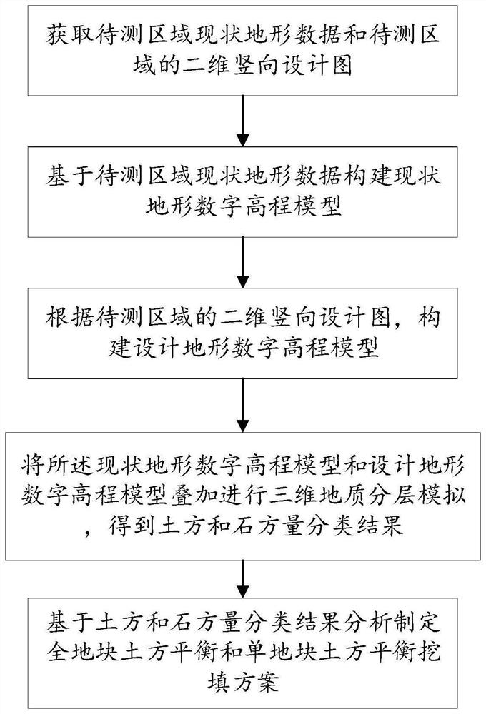
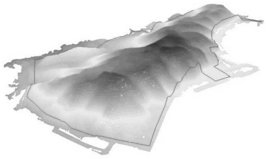
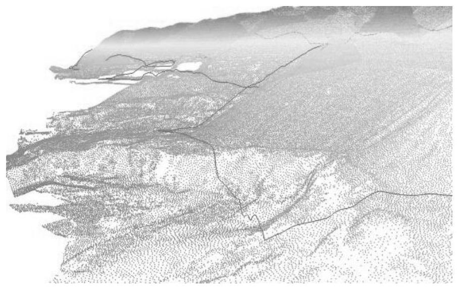
[0047] Such as Figure 1-3 As shown, this embodiment provides a method for analyzing earthwork balance based on CIM technology, including the following steps:
[0048] Step 1: Obtain the current terrain data of the area to be measured and the two-dimensional vertical design drawing of the area to be measured;
[0049] Step 2: Construct the current terrain digital elevation model based on the current terrain data of the area to be measured;
[0050] Step 3: According to the two-dimensional vertical design drawing of the area to be measured, construct the digital elevation model of the design terrain;
[0051] Step 4: superimposing the current terrain digital elevation model and the designed terrain digital elevation model to carry out three-dimensional geological layered simulation to obtain the classification results of earthwork and stonework;
[0052] Step 5: Based on the analysis of the classification results of earthwork and rockwork, formulate the earthwork balance of t...
Embodiment 2
[0080] This embodiment provides an earthwork balance analysis system based on CIM technology, including:
[0081] The data acquisition module is configured to: obtain the current terrain data of the area to be measured and the two-dimensional vertical design diagram of the area to be measured;
[0082] The digital elevation building module is configured to: construct a current terrain digital elevation model based on the current terrain data of the area to be measured;
[0083] According to the two-dimensional vertical design drawing of the area to be measured, construct the digital elevation model of the design terrain;
[0084] The earth-rock balance scheme generation module is configured to: superimpose the current terrain digital elevation model and the designed terrain digital elevation model to perform three-dimensional geological layered simulation, and obtain earthwork and stone volume classification results;
[0085] Based on the analysis of the classification result...
Embodiment 3
[0087] This embodiment provides a computer-readable storage medium, on which a computer program is stored. When the program is executed by a processor, the steps in the method for analyzing earthwork balance based on CIM technology as described above are implemented.
PUM
 Abstract
Description
Claims
Application Information
 - R&D
- Intellectual Property
- Life Sciences
- Materials
- Tech Scout
- Unparalleled Data Quality
- Higher Quality Content
- 60% Fewer Hallucinations
Browse by: Latest US Patents, China's latest patents, Technical Efficacy Thesaurus, Application Domain, Technology Topic, Popular Technical Reports.
© 2025 PatSnap. All rights reserved.Legal|Privacy policy|Modern Slavery Act Transparency Statement|Sitemap|About US| Contact US: help@patsnap.com


