DSM model-considered multi-unmanned aerial vehicle cooperative three-dimensional flight path planning method

A multi-UAV, track planning technology, applied in three-dimensional position/channel control, navigation calculation tools, etc., can solve the problem of not being able to give full play to the advantages and efficiency of multiple UAVs, only considering the flight of a single UAV tasks, poor UAV flight trajectory, etc., to achieve full-track coverage optimization, good practicability and feasibility, and good coverage effects

Pending Publication Date: 2022-07-29
WUHAN UNIV
View PDF0 Cites 1 Cited by
  • Summary
  • Abstract
  • Description
  • Claims
  • Application Information

AI Technical Summary

Problems solved by technology

[0004] Most of the existing UAV coverage path planning algorithms are transplanted from two-dimensional planar robot path planning algorithms. When the space area has terrain fluctuations in height or encounters irregular no-fly zones, it will avoid obstacles. Setting an extremely high flight altitude will cause poor resolution of the collected images, poor flight trajectory of the drone, and even errors.
Furthermore, most path planning algorithms only consider the flight mission of a single UAV
However, in large-scale tasks such as search and rescue and emergency management, multi-UAVs usually work in coordination. The traditional UAV path planning algorithm is ineffective and cannot give full play to the advantages and efficiency of multiple UAVs.

Method used


Image

  • DSM model-considered multi-unmanned aerial vehicle cooperative three-dimensional flight path planning method
  • DSM model-considered multi-unmanned aerial vehicle cooperative three-dimensional flight path planning method
  • DSM model-considered multi-unmanned aerial vehicle cooperative three-dimensional flight path planning method

Examples


Embodiment Construction

[0056] In order to make the objectives, technical solutions and advantages of the present invention clearer, the present invention will be described in more detail below with reference to the accompanying drawings and reference numerals, so that those skilled in the art can implement it after studying the description. It should be understood that the specific embodiments described herein are indicative only for explaining the present invention, and not for limiting the present invention. Based on the embodiments of the present application, all other embodiments obtained by persons of ordinary skill in the art without creative efforts shall fall within the scope of protection of the present application.

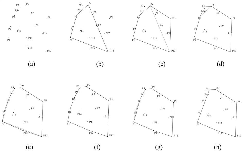
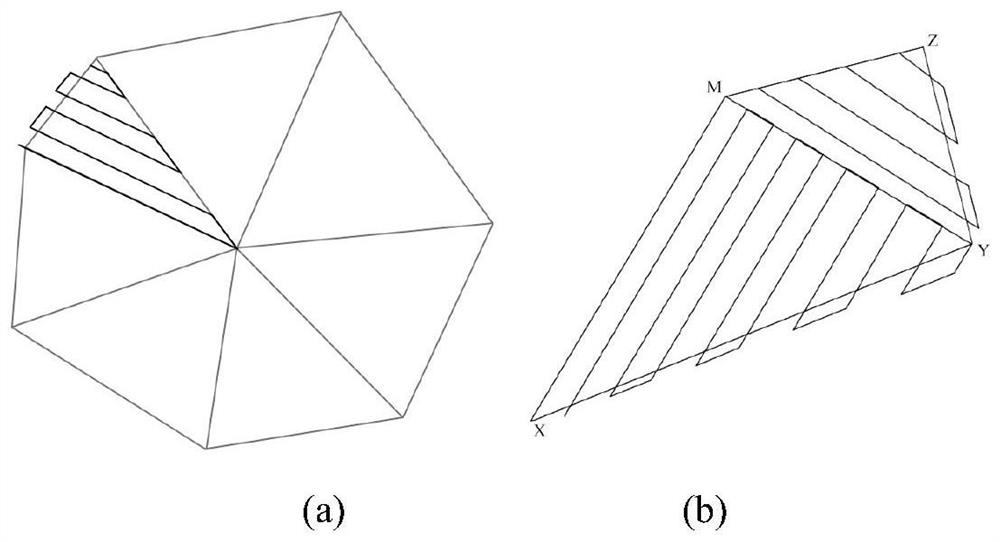
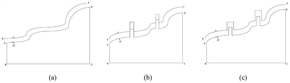
[0057] A kind of multi-unmanned aerial vehicle collaborative three-dimensional track planning method provided by the embodiment considering the DSM model, the specific implementation method includes the following steps:

[0058] Step 1. Input the elevation raster data of the e...


PUM


Abstract

The invention provides a multi-unmanned aerial vehicle cooperative three-dimensional flight path planning method, which comprises the following steps of: firstly, calculating by using a minimum outsourcing convex polygon algorithm to obtain an abstract minimum convex hull of a target operation area, generating a polygonal area with a specific number of edges by using a convex polygon simplified algorithm, then segmenting the area, performing Z-shaped coverage on each area, and finally performing multi-unmanned aerial vehicle cooperative three-dimensional flight path planning. The method comprises the following steps: determining a flight mission area of each unmanned aerial vehicle, discretizing the flight mission area into abstract graph nodes, establishing a flight path evaluation function, and solving an optimal flight path by utilizing the evaluation function in combination with a genetic algorithm. And finally, obtaining three-dimensional data according to the DSM model and exporting the three-dimensional data as KML data. The method makes full use of the DSM model, the fast convex hull algorithm, the region segmentation and coverage algorithm and the genetic algorithm, has the characteristics of high planning speed, low cost, high precision and good coverage effect, and also has an obvious optimization effect on multi-unmanned aerial vehicle coordinated planning and full-track coverage. And an effective flight path planning method is provided for the field of flight path planning of multiple unmanned aerial vehicles.

Description

technical field [0001] The invention relates to the fields related to remote sensing science and technology, in particular to a trajectory planning algorithm of multiple unmanned aerial vehicles, and provides a fully automated planning method. Background technique [0002] Unmanned aerial vehicle (Unmanned Aerial Vehicle, UAV for short) is a powered, controllable, unmanned aerial vehicle that can carry a variety of mission equipment, perform a variety of tasks, and can be reused. The combination of UAV and remote sensing technology has been widely used in different applications such as science and technology, agriculture, transportation, medical care, emergency, rescue, etc. UAVs with high-resolution cameras are essential for obtaining aerial images. tool. To realize the autonomous flight of UAVs, it is necessary to rely on path planning to guide UAVs to avoid obstacles, improve the efficiency of task execution, maximize energy conservation, and avoid waste of resources. ...

Claims


Application Information

Patent Timeline
Patent Type & Authority Applications(China)
IPC IPC(8): G01C21/20G05D1/10
CPCG01C21/20G05D1/104
Inventor 周家豪孟庆祥李勃衡
Owner WUHAN UNIV
Why Eureka
Try Eureka