

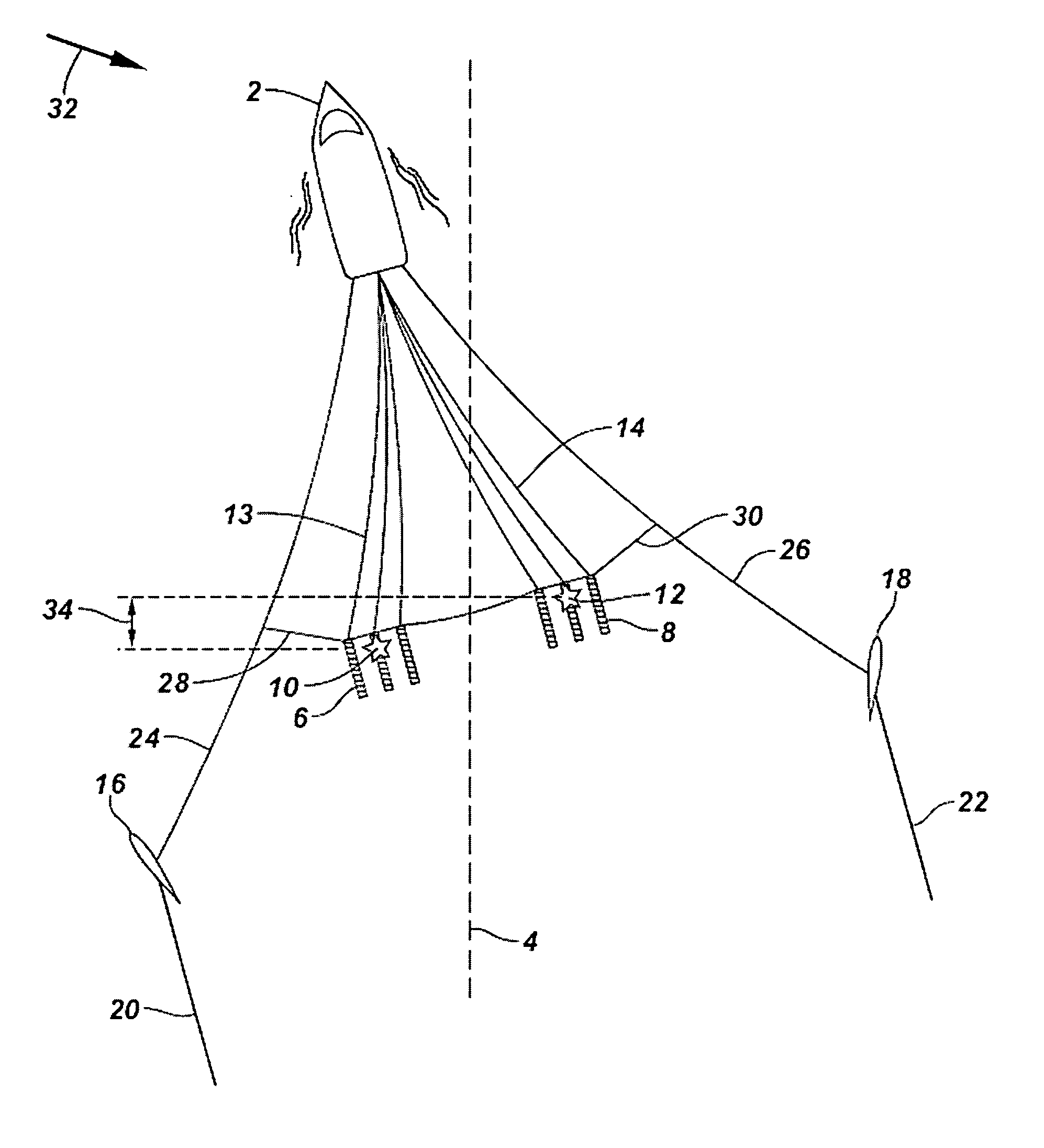
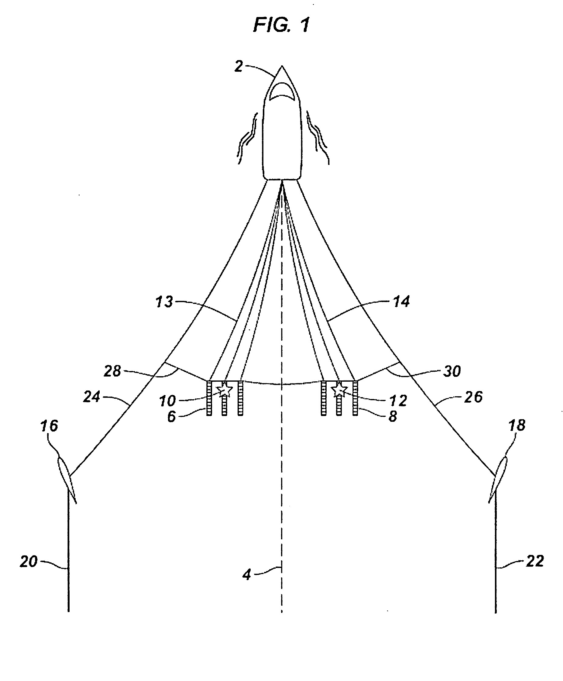
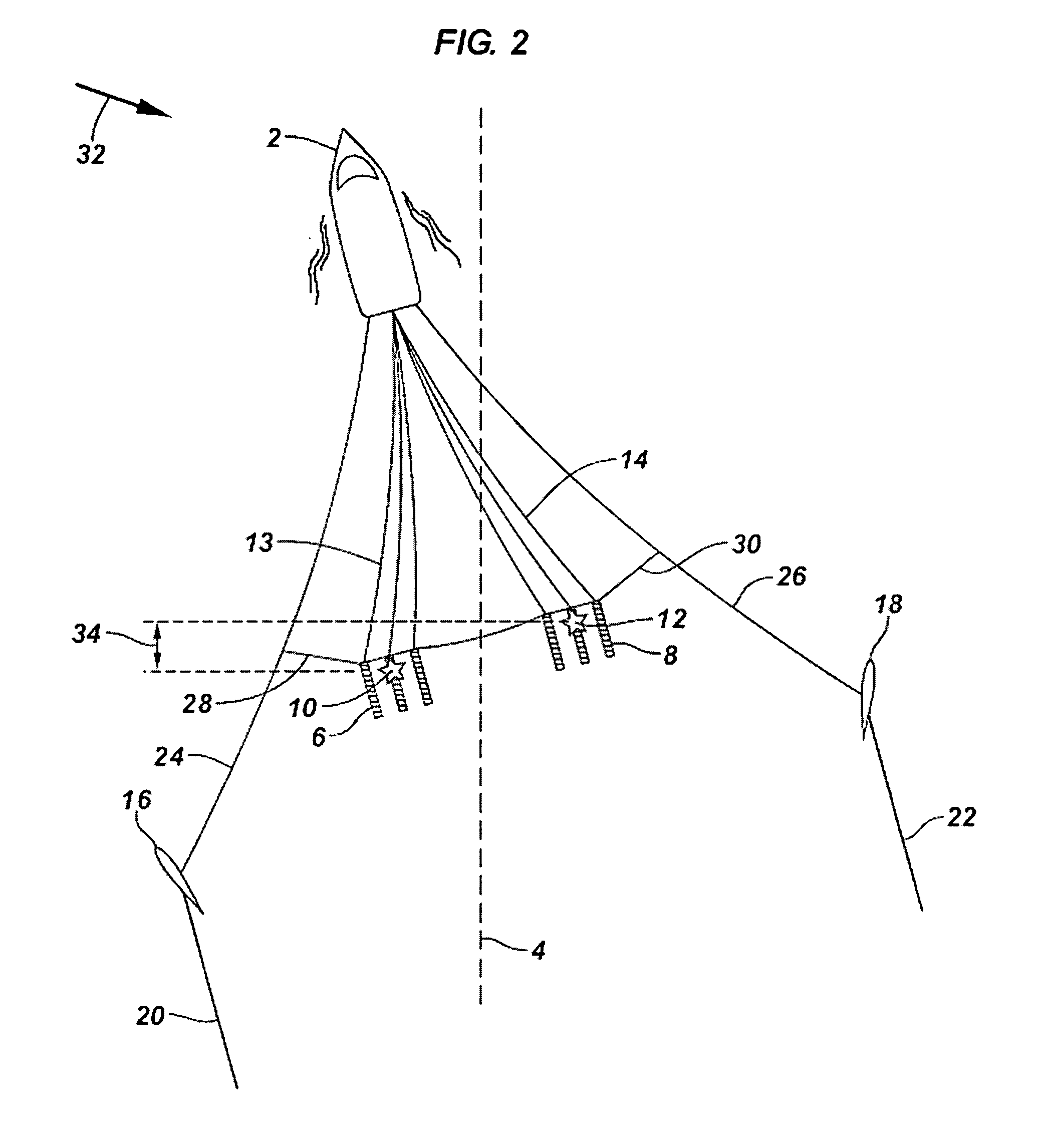
Active steering systems and methods for marine seismic sources
a technology of active steering and seismic sources, which is applied in the field of marine seismic data acquisition systems, can solve the problems of inline differences, inability to control the separation distance in real time, and difficulty in achieving the entire survey area, and achieves the effect of eliminating the need and cost, and highly synchronized and precise clocks
- Summary
- Abstract
- Description
- Claims
- Application Information
AI Technical Summary
Benefits of technology
Problems solved by technology
Method used
Image

Examples
embodiment 800
[0060] Embodiment 800 of FIG. 8 combines features of embodiment 700 of FIG. 7 with embodiment 500 of FIG. 5. In embodiment 800, extra actuators 68 and 70 may once again be three port and three starboard winches, respectively, but each extra actuator 68 and 70 is movable forward and aft on a movable platform (not shown) controlled by one or more controllers commanding movements of a mechanism 72. Mechanism 72 as illustrated in FIG. 8 may comprise a motorized capstan or other suitable arrangement having a connection to each movable platform associated with extra actuators 68 and 70. In certain embodiments, one movable platform is employed for three winches, and in embodiment 800, two movable platforms are thus utilized, although the invention is not so limited. Alternatively, each extra actuator 68 and 70 may be controlled by its own motorized capstan. As depicted in FIG. 8, mechanism 72 allows load balancing as discussed herein, although this is optional. Extra actuators 68 and 70 ma...
PUM
 Abstract
Description
Claims
Application Information