Method of producing aerial photograph data

a technology of aerial photograph and data, applied in the direction of distance measurement, mechanical measuring arrangement, instruments, etc., can solve the problems of large amount of labor and time, difficult to obtain desired images, and difficult to access desired images, etc., to achieve the effect of simple operation and easy to obtain

Inactive Publication Date: 2008-03-13
KOKUSAI IND
View PDF3 Cites 9 Cited by
  • Summary
  • Abstract
  • Description
  • Claims
  • Application Information

AI Technical Summary

Benefits of technology

[0022]The present invention having features as described above provides an advantage that a desired image can be obtained by simple operations. Additionally, the present invention is applicable to various applications, where an image can be easily obtained at a necessary target point from a necessary angle for plotting or inspection, and desired stereo images also can be ob

Problems solved by technology

The conventional methods described above however have various problems.
For instance, it takes time to access desired images.
A large amount of labor and time are also r

Method used


Image

  • Method of producing aerial photograph data
  • Method of producing aerial photograph data
  • Method of producing aerial photograph data

Examples


Embodiment Construction

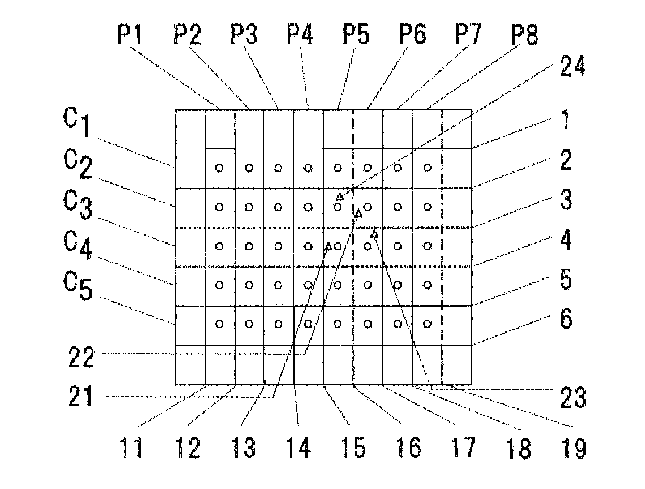
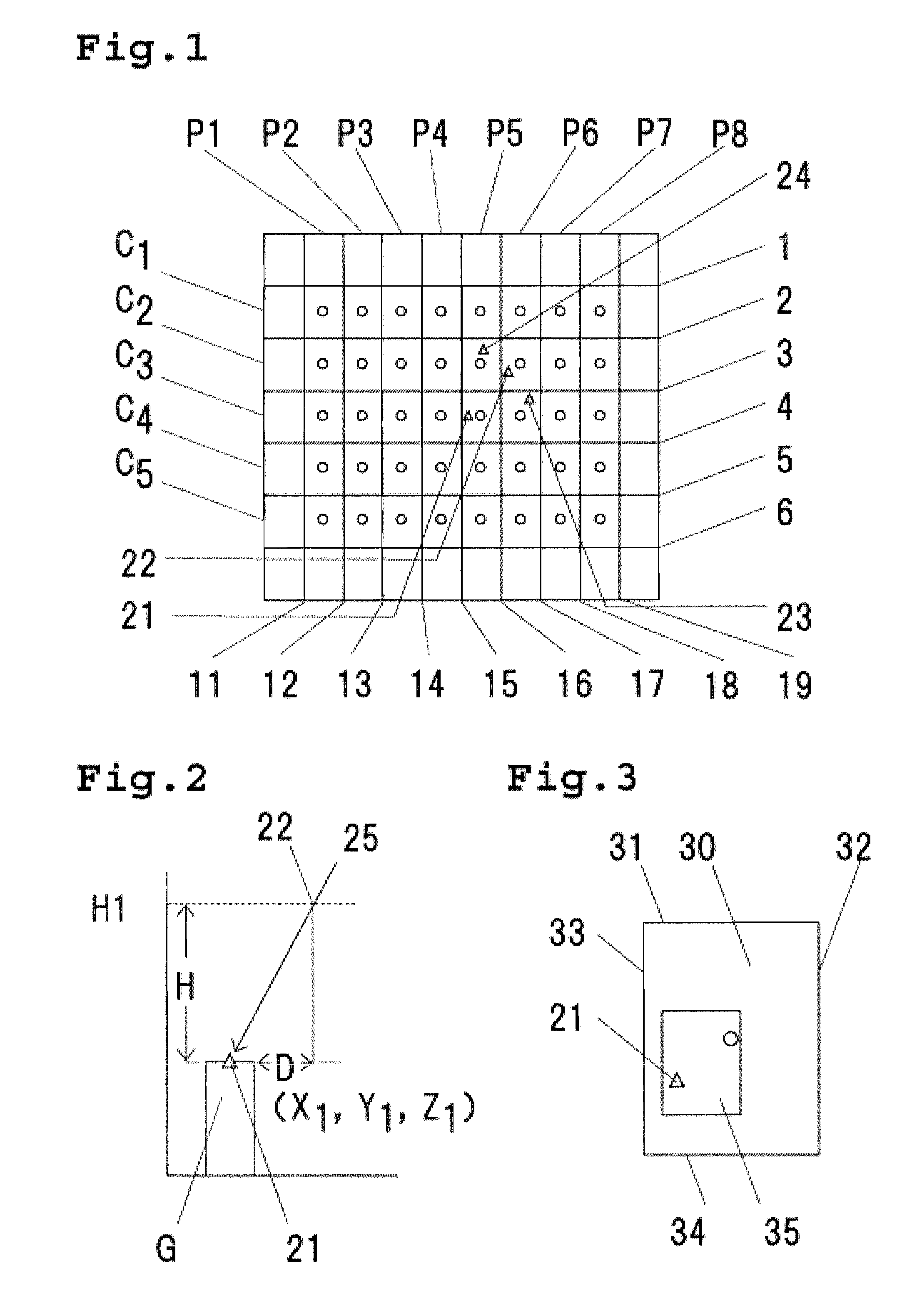
[0030]According to the present invention, in order to view a certain target point from a certain angle, for example, spatial position information of the target point (for example, the degree of north latitude, the degree of east longitude, and the altitude of the target point) is entered. Additionally, information of a spatial direction of a view vector (for example, in order to view the target point from the northeast direction, the information of “northeast”, and in order to view the target point at a depression angle of about 40 degrees, the information of “40 degrees”) is entered. Using for example an average reference altitude value obtained by averaging reference altitudes, an intersection point is obtained between a straight line obtained by extending the entered spatial direction from the target point and a horizontal plane located at the average reference altitude value, and the spatial position thereof (defined as the virtual photographic principal point position at the en...


PUM


Abstract

A method of producing aerial photograph data is provided which is capable of positively utilizing stored photograph data and an image of a desired object included in a photographed image. The method includes a step of determining a distance between a position of a virtual photographic principal point (virtual photographic principal point position) obtained by the use of spatial position information of a target point and spatial direction of a view vector and a position of an actual photographic principal point (actual photographic principal point position) of each of a plurality of aerial photographs to automatically select a specific aerial photograph, and a step of extracting, from the specific aerial photograph, a selected image having the target point arranged at a predetermined position therein.

Description

[0001]Priority of Japanese Patent Application JP2006 / 272268 filed Sep. 6, 2006, is claimed and the same is incorporated herein by reference.BACKGROUND OF THE INVENTION[0002]1. Field of the Invention[0003]The present invention relates to a method of producing aerial photograph data and the data obtained by such method. In particular, the present invention relates to a method of producing aerial photograph data which enable novel utilizations of aerial photographs. The present invention also relates to aerial photograph data which can be utilized in various ways.[0004]2. Description of the Related Art[0005]Aerial photograph images have conventionally been utilized in various ways. For example, they are utilized in photogrammetry for topographic mapping production, industrial surveying, cultural property surveying, natural disaster surveying and so on. When utilized for such application, the aerial photograph images are sometimes produced as stereo images. The stereo images are obtaine...

Claims


Application Information

Patent Timeline
IPC IPC(8): G01B11/14G06T17/05
CPCG01C7/02G01C15/002G01C11/06
Inventor MINAMI, YOSHIHIKOAKAMATSU, YUKIOTAKEDA, HIROSHI
Owner KOKUSAI IND
Why Eureka
Try Eureka