Multi-Tier Geofence Detection
a geofence detection and multi-tier technology, applied in the field of location-based processing, can solve the problem that the application subsystem can consume more power than the baseband subsystem when activated, and achieve the effect of less power consumption, less precise, and refine the second location accuracy
- Summary
- Abstract
- Description
- Claims
- Application Information
AI Technical Summary
Benefits of technology
Problems solved by technology
Method used
Image
Examples
Embodiment Construction
Overview of Multi-Tier Geofence Detection
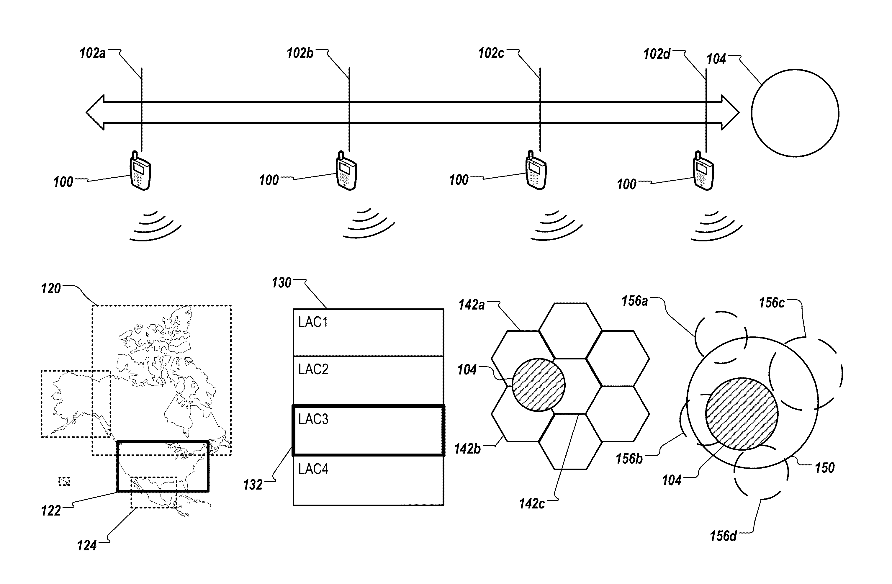
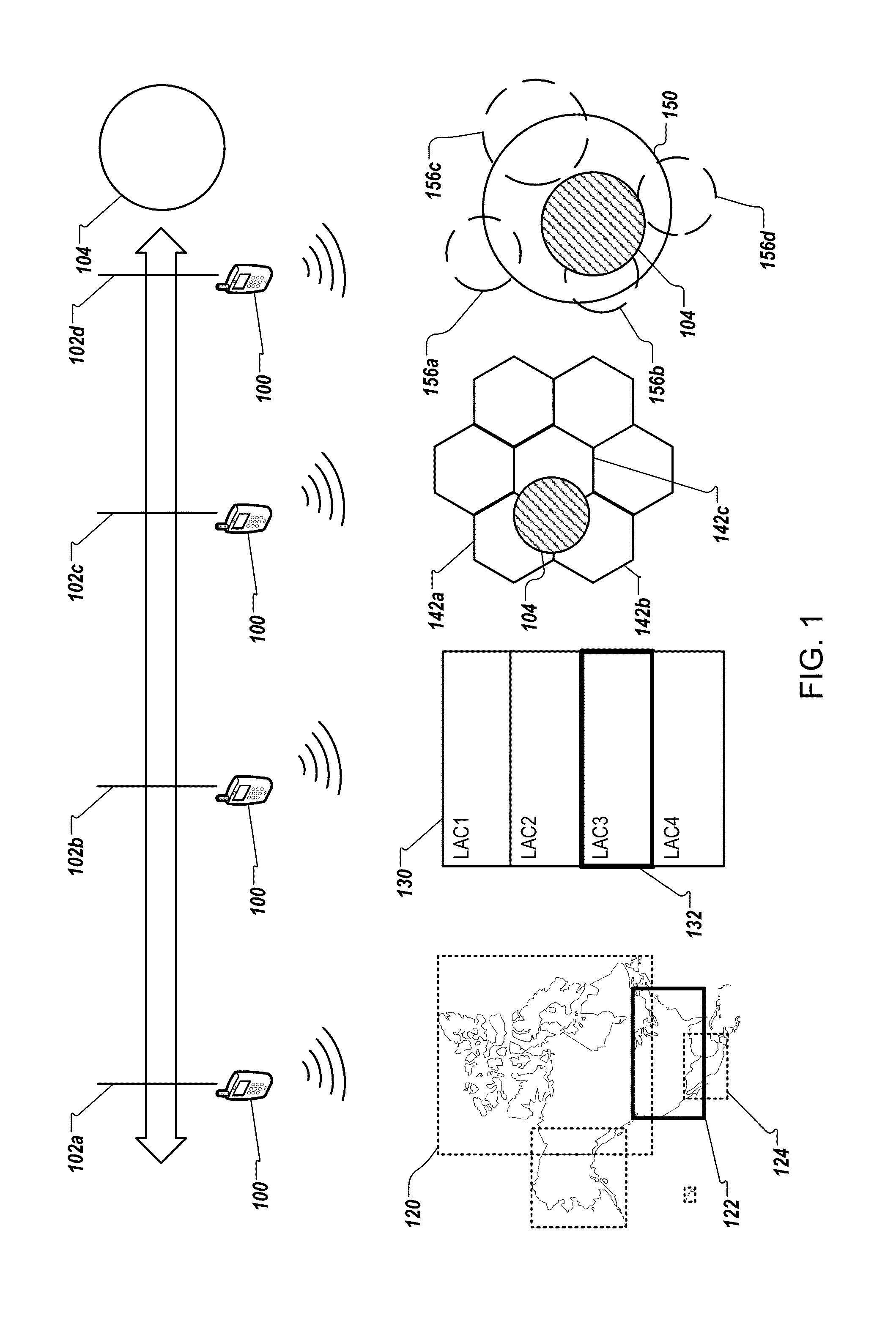
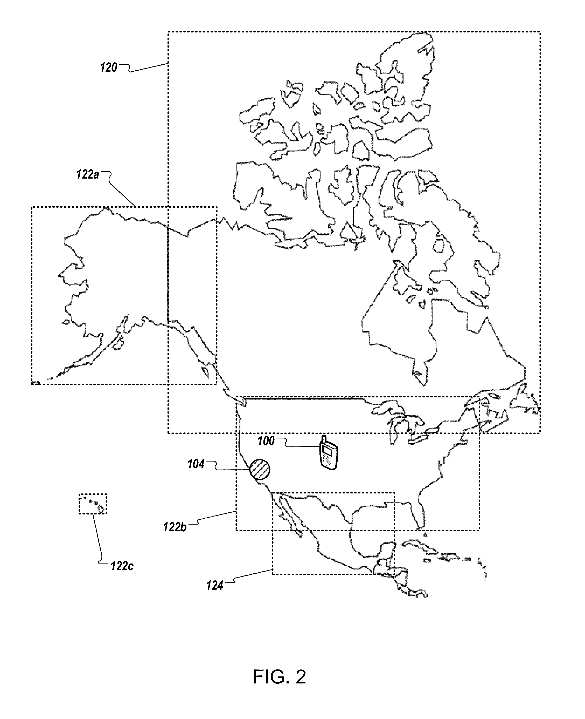
[0020]FIG. 1 is an overview of techniques of multi-tier geofence detection. Mobile device 100 can be an exemplary mobile device that implements the techniques of multi-tier geofence detection. In FIG. 1, mobile device 100 is configured to perform one or more tasks when mobile device 100 is located in geographic region 104. Geographic region 104 can be defined using a geofence. The geofence can be a boundary configured on a server computer or on a mobile device (e.g., mobile device 100). The geofence can be a circle, a polygon, or any geographic shape that encloses geographic region 104. Geographic region 104 can correspond to, for example, an office, a floor of a building, a building, a block of buildings, a city, a state, etc. The task to be performed can include, for example, launching an application program, setting certain files to non-accessible mode, initiating a phone call, sounding an alarm, among others. For illustration of multi-tie...
PUM
 Abstract
Description
Claims
Application Information
 - R&D
- Intellectual Property
- Life Sciences
- Materials
- Tech Scout
- Unparalleled Data Quality
- Higher Quality Content
- 60% Fewer Hallucinations
Browse by: Latest US Patents, China's latest patents, Technical Efficacy Thesaurus, Application Domain, Technology Topic, Popular Technical Reports.
© 2025 PatSnap. All rights reserved.Legal|Privacy policy|Modern Slavery Act Transparency Statement|Sitemap|About US| Contact US: help@patsnap.com


