

Space cost distance computing method based on raster data
A calculation method and raster data technology, applied in the direction of measuring distance, measuring devices, instruments, etc., to achieve the effect of reducing difficulty and making the operation rules simple and clear
- Summary
- Abstract
- Description
- Claims
- Application Information
AI Technical Summary
Problems solved by technology
Method used
Image

Examples
Embodiment Construction
[0042] specific implementation plan
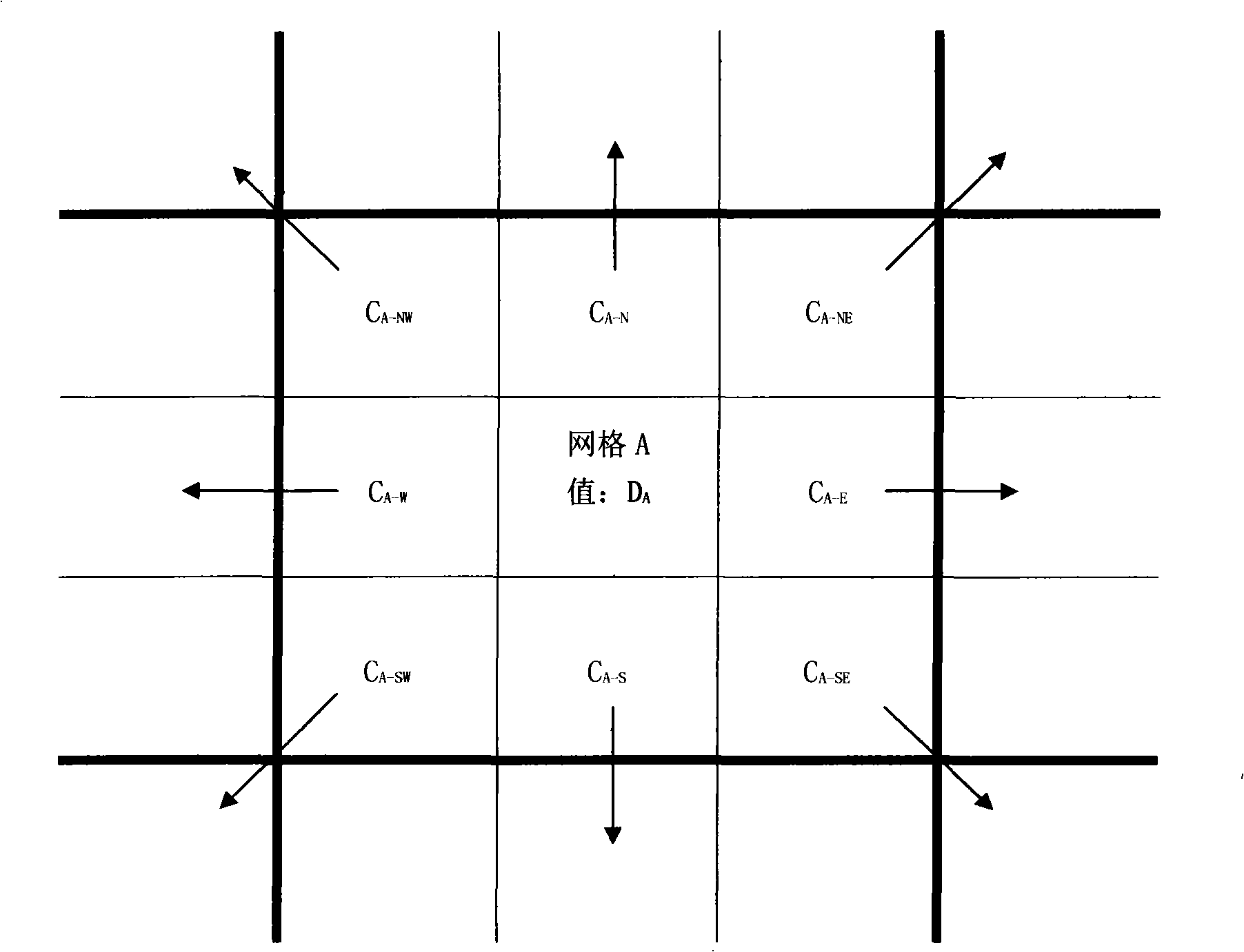
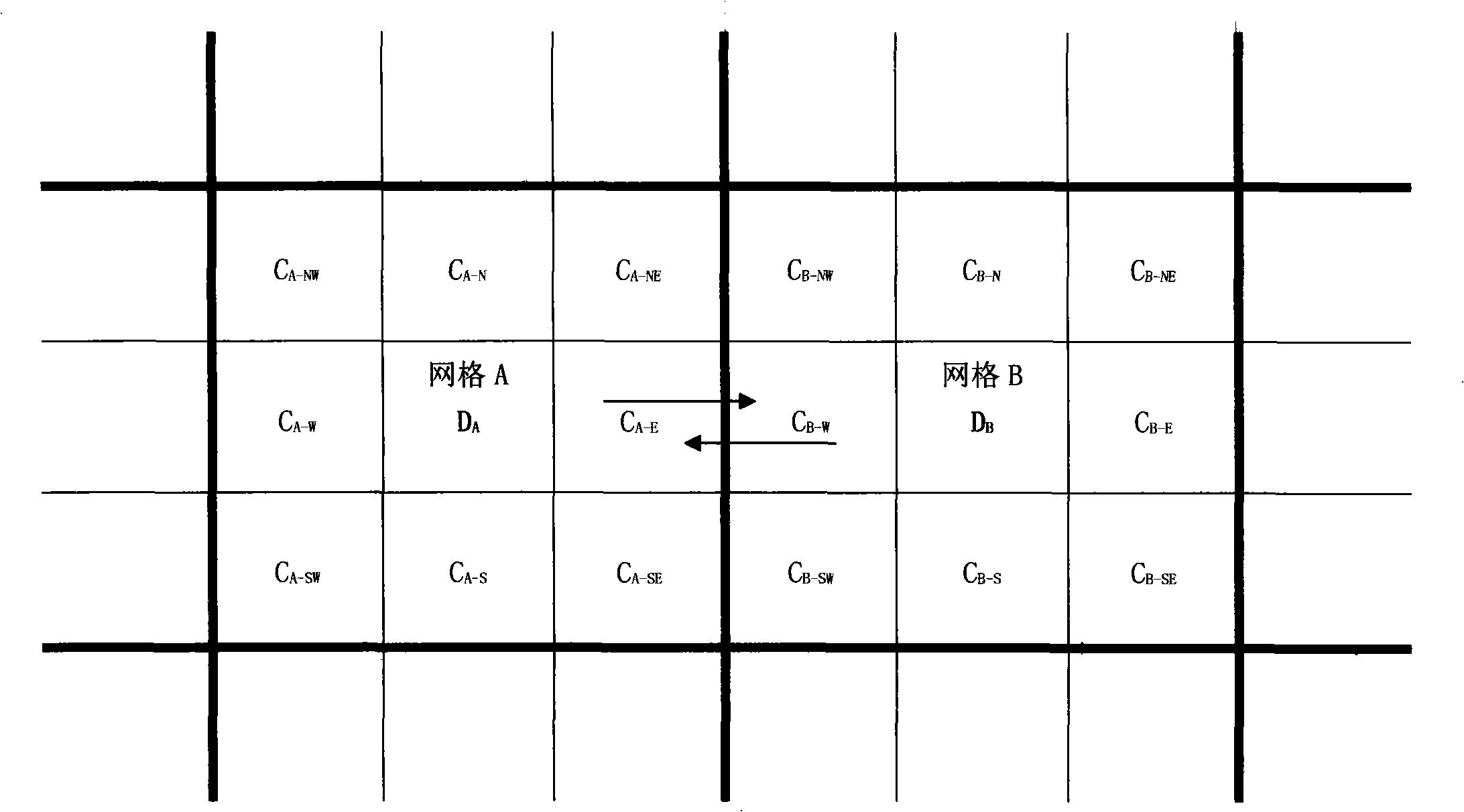
[0043] The present invention will be further described below in conjunction with accompanying drawings and examples. In this example, it is assumed that the traffic mode adopted on the road is a car, and the off-road is walking, ignoring the waiting time, and the car can stop and pick up passengers at any position beside the road (similar to a taxi). The cost value takes time as the considered cost. The square grid is 50 meters. On flat ground, the speed of a car is 36 kilometers per hour, and the speed of walking is 3.6 kilometers per hour. That is, it takes 0.1 seconds for a car to travel 1 meter, and 1 second for a walk to travel 1 meter. The corresponding cost values are 0.1 and 1.0. The scenarios considered are attached Figure 5 shown, with the attached image 3 The situation is similar, but with two additional paths. The bottom left is the target point. The top of the target point in the figure is the exit, which cannot be en...
PUM
 Abstract
Description
Claims
Application Information