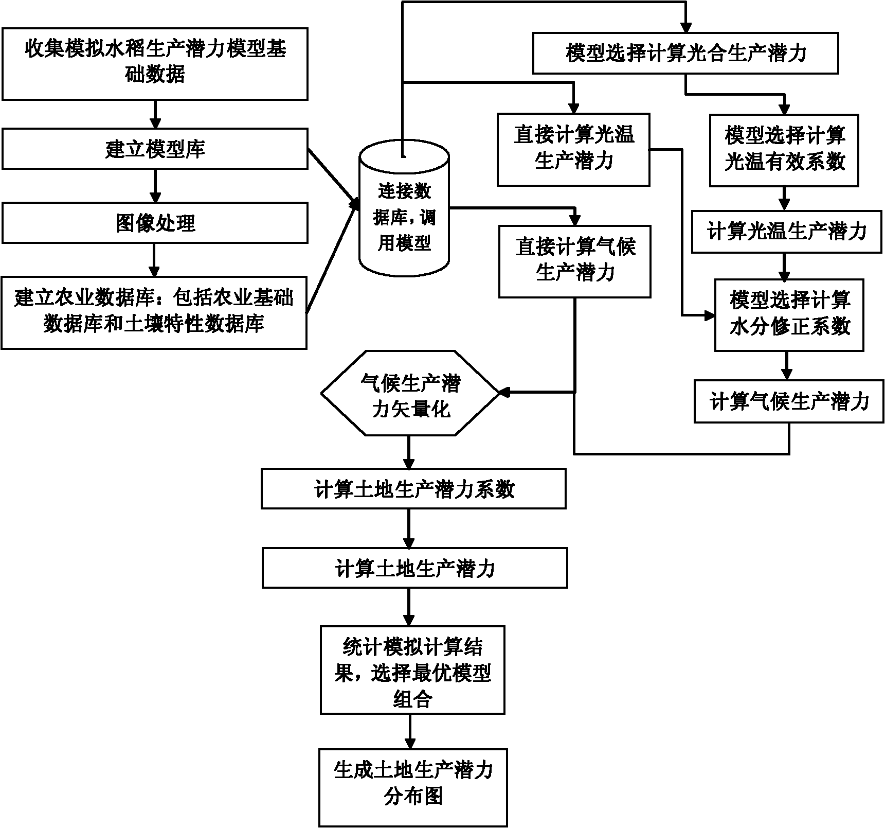
Method for dynamically predicting potential productivity of paddy rice based on geographical information system
A technology of geographic information system and production potential, applied in the field of dynamic prediction of rice production potential, which can solve the problems of different categories, difficult decision-making for model combination selection, and a large number of model parameters.
- Summary
- Abstract
- Description
- Claims
- Application Information
AI Technical Summary
Problems solved by technology
Method used
Image
Examples
Embodiment 1
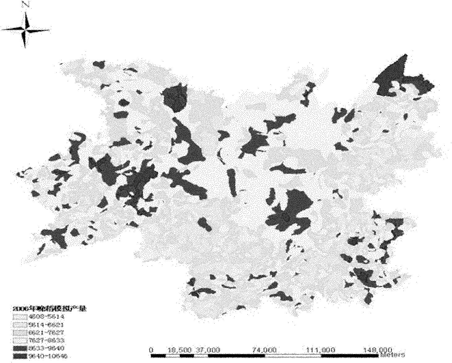
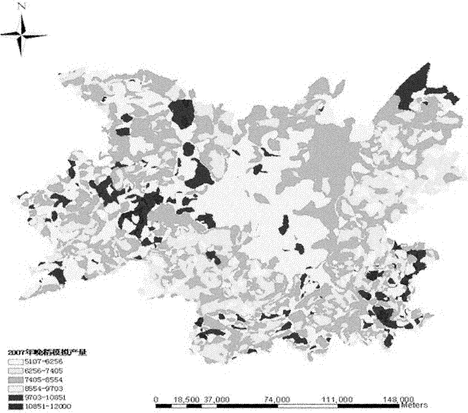
[0138] In order to better illustrate the specific implementation of the present invention, now take the application of the prediction method adopted in the present invention in the Dongting Lake area as an example, and select two combination schemes in the model combination to carry out the whole process of the invention as an example.
[0139] Dongting Lake (28°30′~30°20′ north latitude; 110°40′~113°10′ east longitude) is located in the south of the middle reaches of the Yangtze River, with a land area of 3.48×10 4 km 2 , with arable land area of 1.091×10 4 km 2 , is located in the subtropical monsoon humid climate zone, the transitional zone from the middle subtropical zone to the northern subtropical zone, with climate characteristics such as sufficient light and heat, late warm spring, early cold autumn, rain and heat in the same season, and long frost-free period.
[0140] 1. Basic data collection
[0141] The relevant data required for model simulation are collect...
PUM
 Abstract
Description
Claims
Application Information
 - R&D
- Intellectual Property
- Life Sciences
- Materials
- Tech Scout
- Unparalleled Data Quality
- Higher Quality Content
- 60% Fewer Hallucinations
Browse by: Latest US Patents, China's latest patents, Technical Efficacy Thesaurus, Application Domain, Technology Topic, Popular Technical Reports.
© 2025 PatSnap. All rights reserved.Legal|Privacy policy|Modern Slavery Act Transparency Statement|Sitemap|About US| Contact US: help@patsnap.com


