

Watershed algorithm-based high spatial resolution multi-spectral remote sensing image segmentation method
A technology of high spatial resolution and watershed algorithm, applied in image enhancement, image data processing, computing, etc., can solve problems such as slowing down the speed of merging, over-segmentation, and little improvement in merging results
- Summary
- Abstract
- Description
- Claims
- Application Information
AI Technical Summary
Problems solved by technology
Method used
Image

Examples
Embodiment Construction
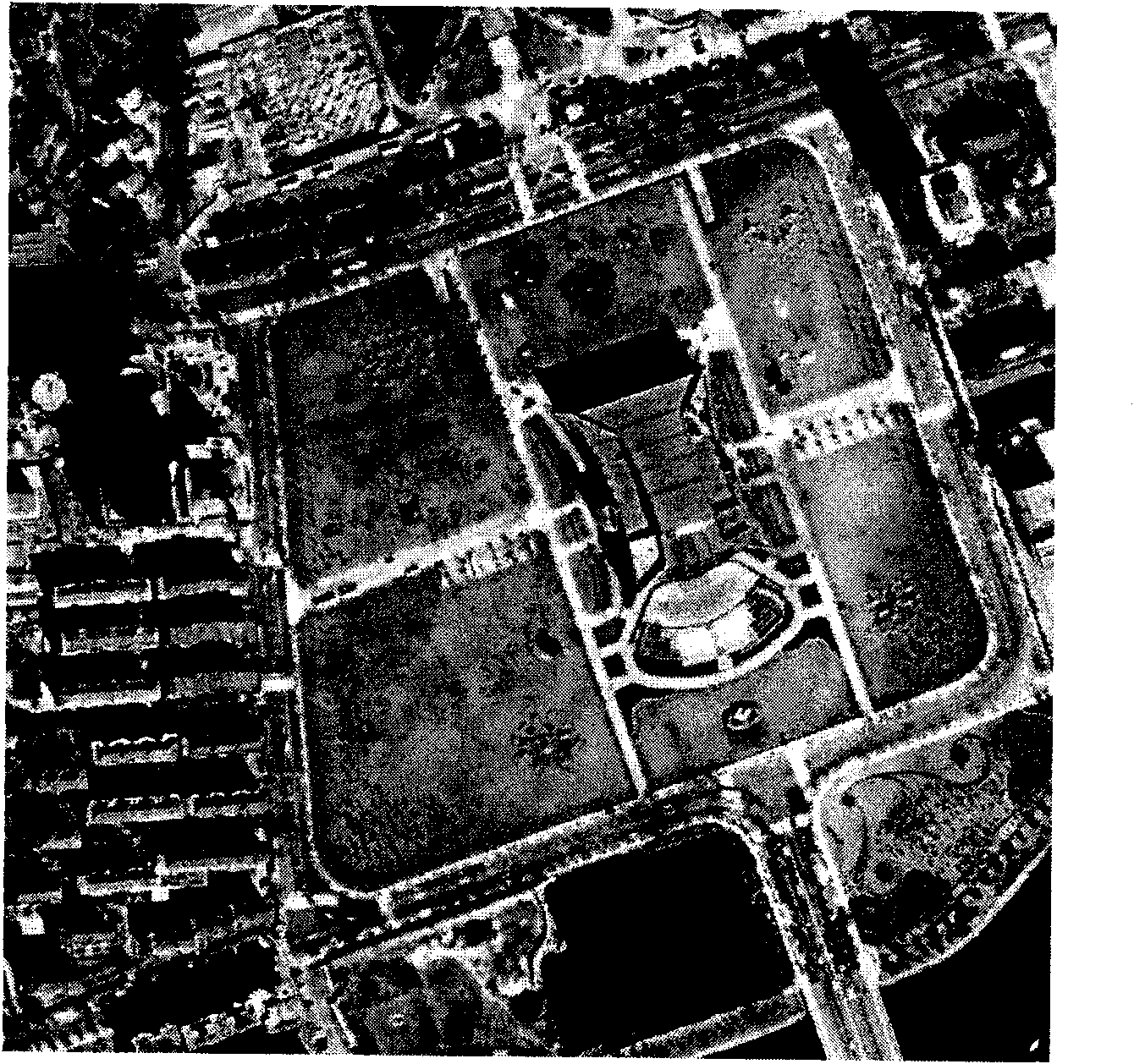
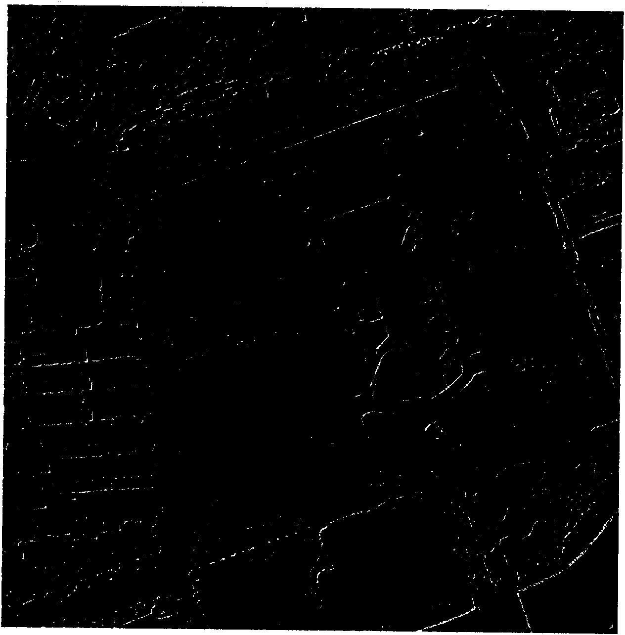
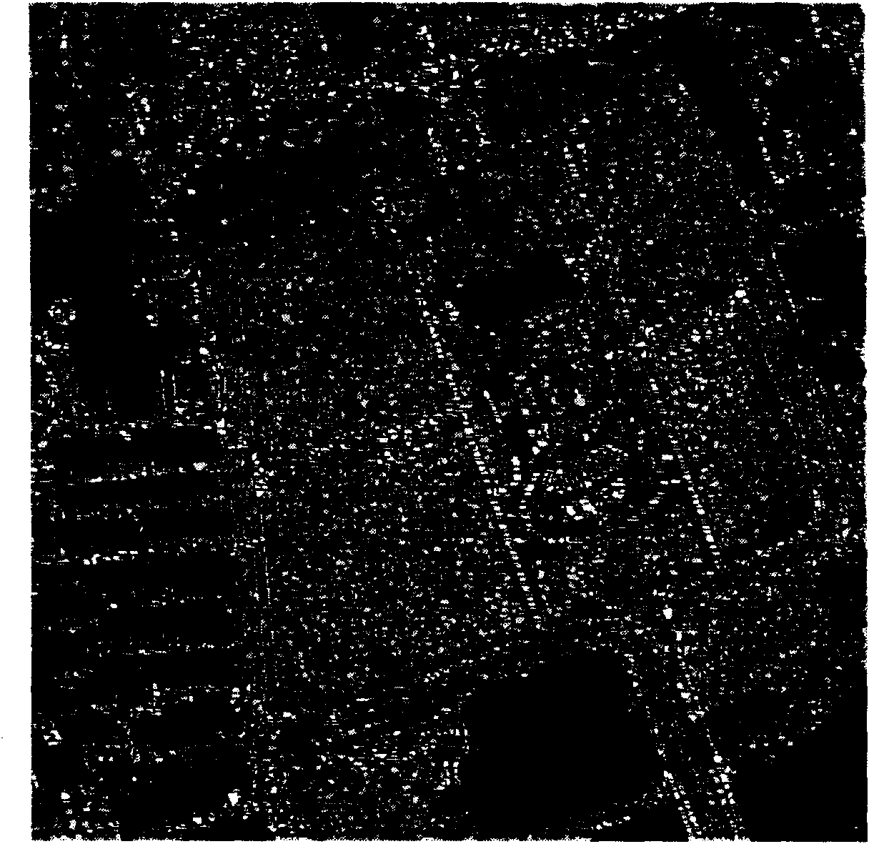
[0023] The purpose of the present invention is to solve the problem of segmentation of high spatial resolution optical remote sensing images. The specific steps are as follows: firstly, the gradient image is obtained from the multi-spectral image, and then the gradient image is segmented by the watershed algorithm, and finally the regions are merged according to the merge algorithm using the similarity between the regions to obtain the final segmentation result.
[0024] Because the watershed algorithm is sensitive to gradients and mainly uses gradient information for segmentation, the present invention first uses the gradient algorithm of the multispectral image to find the gradient.
[0025] Among them, the gradient algorithm of multi-spectral image comprehensively considers each band, so that all significant details can be reflected on the gradient matrix, and the watershed algorithm uses more information. The problem that the watershed algorithm cannot process multi-spectral re...
PUM
 Abstract
Description
Claims
Application Information