Eureka AIR delivers breakthrough ideas for toughest innovation challenges, trusted by R&D personnel around the world.

The Shortest Distance Sorting Method Supplemented by Jipin Coding Method and Internal Sorting Method for Digital Mapping

A digital surveying and shortest-distance technology, applied in the field of surveying and mapping science, can solve the problems of difficult operation, slow encoding speed, and no clear encoding of connection information in the method of encoding connection information, so as to achieve less input workload and save field time Effect

Inactive Publication Date: 2015-08-19
王尚奇 +1
View PDF3 Cites 1 Cited by
  • Summary
  • Abstract
  • Description
  • Claims
  • Application Information

AI Technical Summary

Problems solved by technology

[0003] A. Purpose of the invention: the shortest distance sorting method supplemented by the Jianpin coding method and the internal sorting method is to solve the difficulty in remembering the codes in the various coding schemes in use above, and the slow input coding speed in the field, which cannot fully satisfy the crossover of multiple instruments. It is carefully developed due to the needs of the operation, there is no clear coding connection information, or there is a method of clearly coding the connection information but it is difficult to operate.

Method used

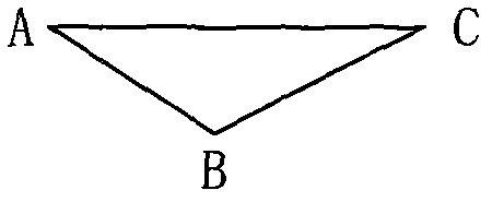
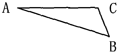
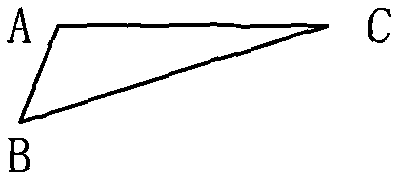

Image

  • The Shortest Distance Sorting Method Supplemented by Jipin Coding Method and Internal Sorting Method for Digital Mapping
  • The Shortest Distance Sorting Method Supplemented by Jipin Coding Method and Internal Sorting Method for Digital Mapping
  • The Shortest Distance Sorting Method Supplemented by Jipin Coding Method and Internal Sorting Method for Digital Mapping

Examples


Embodiment Construction

[0035] A. The specific implementation process of field measurement data coding: when measuring ground object data in the field, in the case of following the shortest distance sorting method with the internal sorting method as an auxiliary method to determine the realization method of the connection relationship between the ground feature data points, according to Table 1 (Simply spelled coding structure table of various features and features) Coding various features of features respectively. Table 2 lists some specific feature elements and their simplified codes for the convenience of readers.

[0036] Table 2 Partial representation of the overall coding table of features

[0037]

[0038] In the process of encoding linear data, the internal sorting method is used for encoding when encountering complex segments, and the distance sorting method can be used for encoding when it is not complicated. The two encodings can be performed interactively. In use, it is enough to ensu...


PUM


Abstract

The invention discloses a minimum distance sorting method assisted by a digital mapping brief spelling coding method and an internal sorting method, which is directly applied in the technical field of the total field digital mapping. The brief spelling coding method is composed of a type code+ (a series number)+ (a descriptor)+ (a feature code)+ (-an attribute code)(contents in the brackets are selectable), wherein the measured data is sorted by the minimum distance sorting method assisted by the brief spelling coding method. The minimum distance sorting method is as follows: sequentially calculating distances between the base point and the rest points from the starting point of the surface feature data point and taking the starting point of the surface feature data point as the base point, and selecting the data point with the shortest distance as the connection point with the base point, and taking the selected point with the shortest distance as the base point again, and sequentially calculating the distances between the base point and the rest points, and selecting the data point with the shortest distance as the connection point with the base point, and repeating the steps until no rest points are left; finally, sorting the data points with the shortest distances from each selection based on the precedence such that the sequence fully ensures the connection relationship between each surface feature data point and the other points. The minimum distance sorting method can achieve full automation on field mapping fast coding and interior data processing and map making.

Description

Technical field: [0001] The patented technical solution of the present invention belongs to the category of surveying and mapping science, and is directly applied to the technical field of digital surveying and mapping in the field. The field surveying map can be realized by using the simplified coding method in the patent and the shortest distance sorting method with the internal sorting method as an auxiliary method Fast coding and full automation of office data processing and graphics. Background technique: [0002] In the field of all-field digital mapping, the complexity of field object information determines the diversity of data encoding schemes in all-field digital mapping software currently used in the surveying and mapping industry. The currently widely used data coding schemes are: 1. Block structure coding scheme. The mainstream software using the block structure coding scheme is Tsinghua Shanwei’s EPSW electronic flat panel system. Sketches have relatively low ...

Claims


Application Information

Patent Timeline
Patent Type & Authority Patents(China)
IPC IPC(8): G06F17/30G01C7/00G09B29/00
Inventor 不公告发明人
Owner 王尚奇
Why Eureka
Eureka Blog
Learn More