
Advanced global navigation satellite systems (gnss) positioning using precise satellite information

A technology for global navigation satellites and satellite information, applied in satellite radio beacon positioning systems, radio wave measurement systems, instruments, etc., can solve problems such as the inability to directly determine the integer period and the ambiguity of the carrier phase

Active Publication Date: 2013-10-30
TRIMBLE NAVIGATION LTD
View PDF8 Cites 26 Cited by
  • Summary
  • Abstract
  • Description
  • Claims
  • Application Information

AI Technical Summary

Problems solved by technology

[0007] However, during position estimation based on carrier phase measurements, the carrier phase is ambiguous due to an unknown number of cycles
Able to determine the phase of the received signal, but cannot directly determine the integer period in an unambiguous manner

Method used


Image

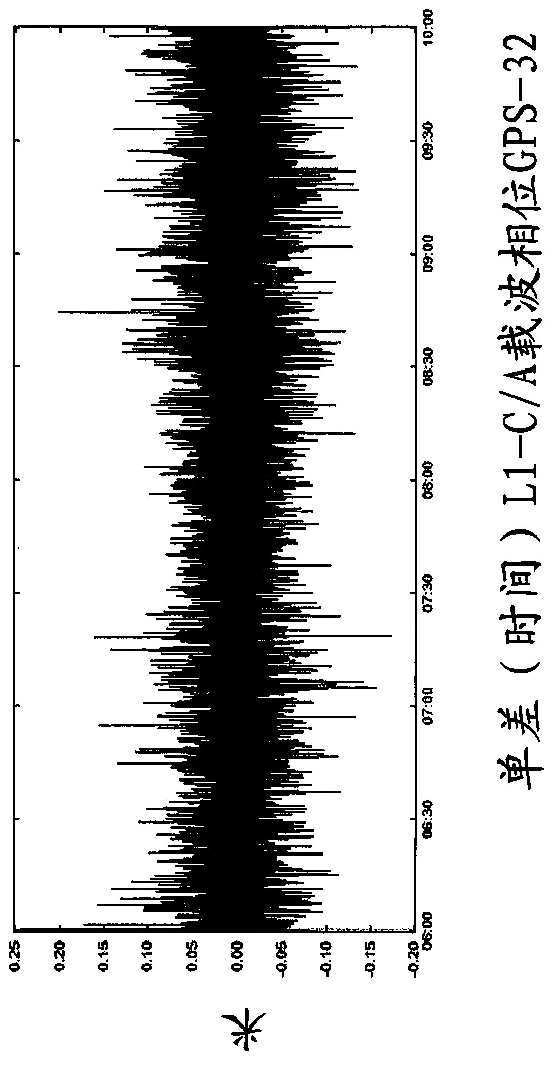
  • Advanced global navigation satellite systems (gnss) positioning using precise satellite information
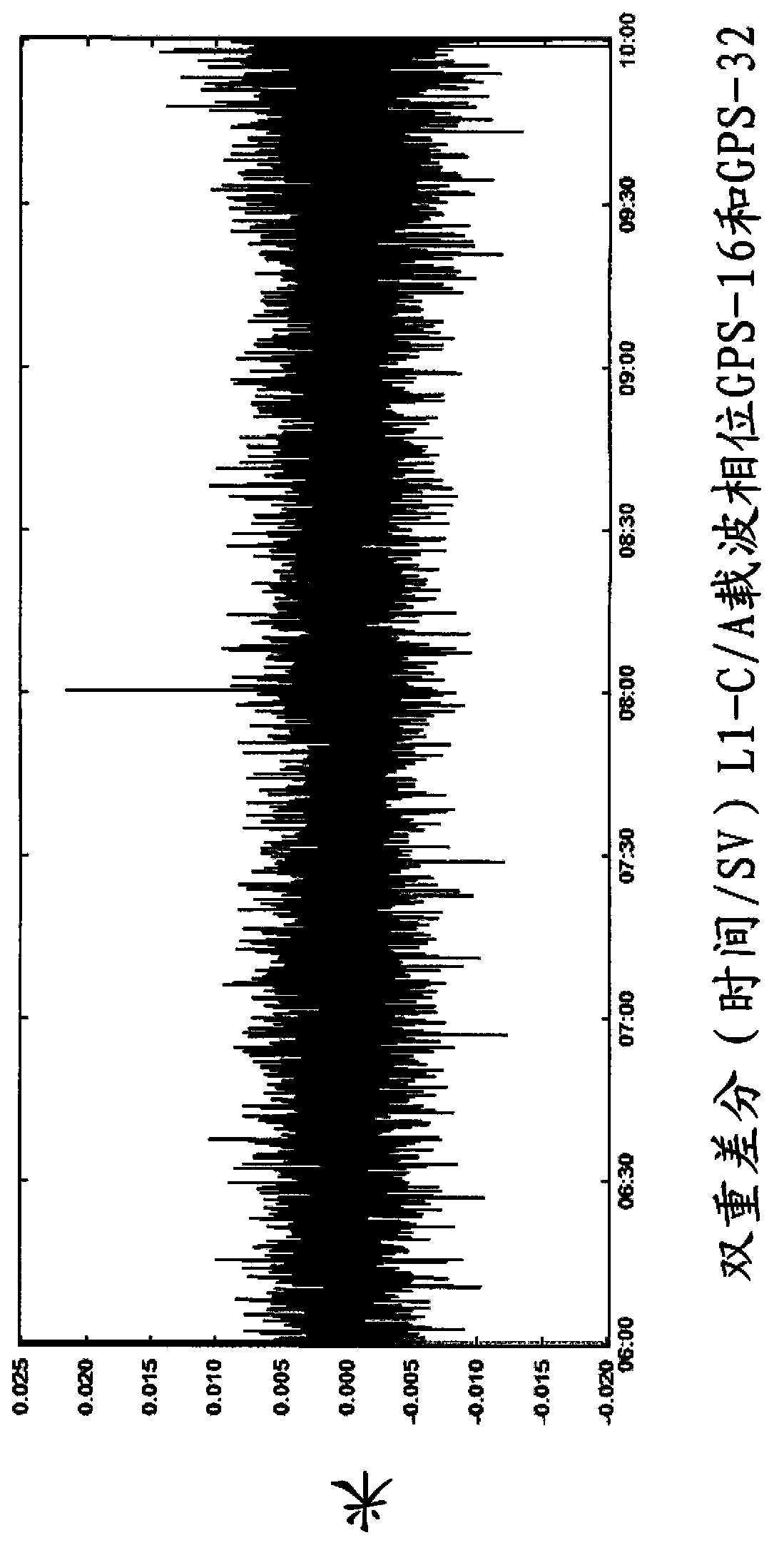
  • Advanced global navigation satellite systems (gnss) positioning using precise satellite information
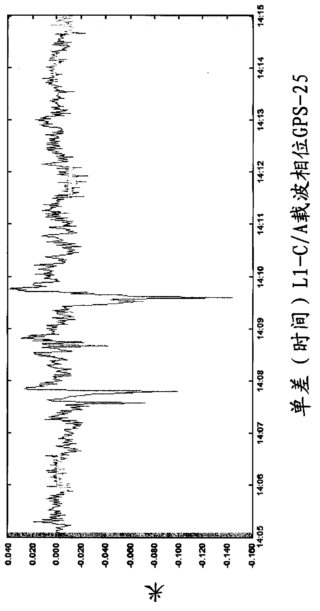
  • Advanced global navigation satellite systems (gnss) positioning using precise satellite information

Examples


Embodiment Construction

[0034]The invention will now be described with reference to specific embodiments thereof. The specific embodiments are intended to provide a better understanding for the skilled person, but are not intended to limit the scope of the invention, which is defined by the appended claims, in any way. In particular, independently stated embodiments throughout the specification can be combined to form further embodiments to the extent they are not mutually exclusive.

[0035] Figure 24 The flow chart of Figure describes the method in one embodiment of the invention. The method is used for estimating at least parameters from Global Navigation Satellite System (GNSS) signals and useful for determining the position, such as the position of a fixed or mobile GNSS receiver or more precisely an antenna connected to said GNSS receiver. The method may ultimately result in determining or estimating fixed or mobile antenna positions, hereafter referred to as the rover position of the rover ...


PUM


Abstract

A method is provided for estimating parameters useful to determine the position of a global navigation satellite system (GNSS) receiver or a change in the position thereof. The method includes the steps of: obtaining at least one GNSS signal received at the GNSS receiver from each of a plurality of GNSS satellites; obtaining, from at least one network node, precise satellite information on: (i) the orbit or position of at least one of the plurality of GNSS satellites, and (ii) a clock offset of at least one of the plurality of GNSS satellites; identifying, among the obtained GNSS signals, a subset of at least one GNSS signal possibly affected by a cycle slip, the identified subset being hereinafter referred to as cycle-slip affected subset; and estimating parameters useful to determine the position of the GNSS receiver or a change in the position of the GNSS receiver using at least some of the obtained GNSS signals which are not in the cycle-slip affected subset, and the precise satellite information.

Description

technical field [0001] The invention relates to a position estimation method and equipment of a global navigation satellite system (GNSS). Fields of application of the methods and devices include, but are not limited to, navigation, map making, land surveying, civil engineering, agriculture, disaster prevention and relief, and scientific research. Background technique [0002] Global Navigation Satellite Systems (GNSS) include the Global Positioning System (GPS) (USA), GLONASS (Russia), Galileo (Europe) and COMPASS (China) (systems in use or in development). GNSS typically uses multiple satellites orbiting the earth. The plurality of satellites forms a constellation of satellites. GNSS receivers detect pseudorandom noise (PRN) codes modulated on the electromagnetic signals broadcast by satellites. This code is also referred to as a ranging code. Code detection involves comparing the bit sequence modulated on the broadcast signal with a replica of the code to be detected ...

Claims


Application Information

Patent Timeline
Patent Type & Authority Applications(China)
IPC IPC(8): G01S19/43
CPCG01S19/22G01S19/20G01S19/44G01S19/25G01S19/28G01S19/071
Inventor K·D·杜塞H·兰多
Owner TRIMBLE NAVIGATION LTD
Learn More