Vector geographic space data total blindness watermarking method based on error reduction

A technology of vector geography and spatial data, which is applied in the field of cartography and geographic information science, can solve the problem of difficult control of watermark errors in transform domains, and achieve the effects of good invisibility, high watermark robustness, and good use value

Active Publication Date: 2013-11-13
LANZHOU JIAOTONG UNIV
View PDF4 Cites 5 Cited by
  • Summary
  • Abstract
  • Description
  • Claims
  • Application Information

AI Technical Summary

Problems solved by technology

[0004] In view of the above situation, the purpose of the present invention is to propose "a kind of vector geospatial data full-blind watermarking method based on error reduction" to solve and overcome the problem t

Method used

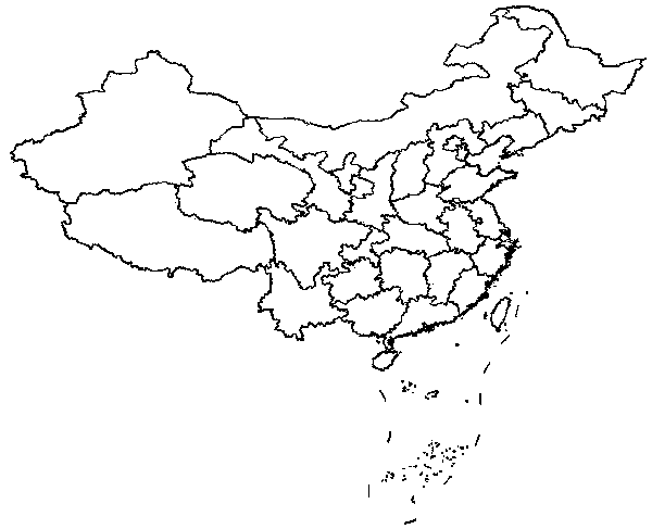
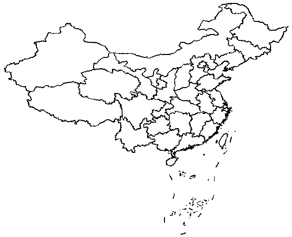

Image

  • Vector geographic space data total blindness watermarking method based on error reduction
  • Vector geographic space data total blindness watermarking method based on error reduction
  • Vector geographic space data total blindness watermarking method based on error reduction

Examples


Embodiment Construction

[0026] In order to describe the technical content, structural features, objectives and effects of the present invention in detail, the following will be described in detail in conjunction with specific embodiments.

[0027] The implementation steps of the present invention can be divided into two parts: watermark embedding and watermark information extraction. Each implementation step is further described below.

[0028] Step 1: The chaotic sequence generated by the chaotic system has very good pseudo-randomness and initial value sensitivity characteristics, and the Logistic chaotic mapping system is used to scramble the watermark image; the watermark image after transformation and scrambling is a one-dimensional sequence {W i}, i=1,..., M, M is the watermark length;

[0029] Step 2: Read vector geospatial data, and embed watermark information in units of geometric objects (including line objects and plane images). The specific steps are:

[0030] Step a: Read all the verte...


PUM


Abstract

The invention relates to a vector geographic space data total blindness watermarking method based on error reduction. Through the method, the problem that errors in discrete fourier transformation (DFT) domain watermarking are hard to control is solved. The vector space data usually conducts geometric transformation in use. Due to the fact that the DFT itself has the characteristics of invariance of translation, rotation, zooming and the like, a watermarking algorithm based on DFT has large advantages on resistance of geometric transformation. Watermarks can be embedded in a DFT range coefficient and a phase coefficient. If the watermarks are embedded in the transformed coefficient directly, large effects can be caused on original data, and especially small change of the phase coefficient can cause large change of the original data. By amplifying the transformation coefficient, then adding the watermarks and reducing the transformation coefficient, effects of the watermarks on the original data can be greatly reduced. The method is advanced and scientific, watermarking robustness is high, invisibility is good, and meanwhile precision of data with embedded watermark information can be guaranteed.

Description

technical field [0001] The invention belongs to the field of cartography and geographic information science and technology, and relates to a full-blind watermarking algorithm for vector geographic spatial data in a transformation domain. Background technique [0002] Vector geospatial data is an important strategic information resource of the country, and it is the basic data of economy, military affairs, national defense construction and social development. The acquisition usually requires the help of expensive professional equipment and a lot of manpower and material resources. Therefore, its copyright protection important. Vector geospatial data is stored in digital form, which makes piracy extremely easy while facilitating data copying and dissemination. Currently, there is an urgent need for reliable technologies to secure geospatial data. [0003] Digital watermarking is considered to be an effective digital map copyright protection method. With the research on digit...

Claims


Application Information

Patent Timeline
IPC IPC(8): G06T1/00G06F17/30
Inventor 闫浩文张黎明张立峰张永忠程亚辉
Owner LANZHOU JIAOTONG UNIV
Why Eureka
Try Eureka