SAR image terrain classification method based on depth RBF network

A technology of RBF network and ground object classification, which is applied to biological neural network models, instruments, character and pattern recognition, etc., can solve problems such as unstable results, slow speed, and difficult adjustment of classifier parameters, so as to reduce time complexity, The number of samples is reduced to avoid the effect of gradient diffusion

Active Publication Date: 2014-07-30
XIDIAN UNIV
View PDF3 Cites 86 Cited by
  • Summary
  • Abstract
  • Description
  • Claims
  • Application Information

AI Technical Summary

Problems solved by technology

Among them, the SAR image classification method based on a single classifier is to input the training data into a single classifier. After learning, the classifier has the ability to classify and recognize. This type of method has a fast classification speed, but the adjustment of classifier parameters is difficult and the result is unstable. ; The SAR image object classification method based on classifier integration adopts a certain integration strategy to integrate multiple classifiers together, and multiple classifiers jointly make decisions on SAR image data. Although the classification effect of this type of method is good, but slower

Method used


Image

  • SAR image terrain classification method based on depth RBF network
  • SAR image terrain classification method based on depth RBF network
  • SAR image terrain classification method based on depth RBF network

Examples


Embodiment Construction

[0035] refer to figure 1 , the implementation steps of the present invention are described in detail as follows:

[0036] Step 1, given a deep RBF network composed of three layers.

[0037] Such as figure 2 As shown, the deep RBF network given in this example consists of a three-layer structure, in which the first layer and the third layer are RBF neural networks composed of an input unit, a hidden unit and an output unit; the second layer is A sparse autoencoder SAE neural network consisting of an input unit, a hidden unit and an output unit.

[0038] Step 2, preprocessing the SAR image, using the deep RBF network to learn the classification features of the SAR image.

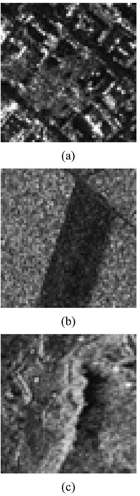
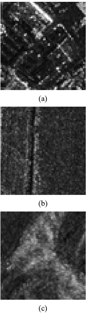
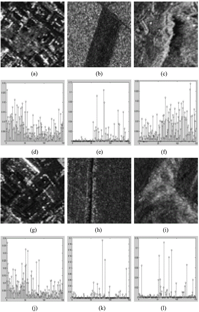
[0039] (2a) Select SAR images containing towns, farmlands, and mountains as classification objects. Each type of ground object has 50 training samples and 100 test samples. The resolution of each sample is 128*128. Each sample is divided into image blocks with a resolution of 64*64, and 200 training sampl...


PUM


Abstract

The invention provides an SAR image terrain classification method based on a depth RBF network. The method mainly solves the problem of the prior art that the accuracy of classification is low. The method comprises the steps of (1) extracting the texton features of an SAR image; (2) training the texton features of the SAR image through a first-layer RBF neural network of the depth RBF network to obtain the advanced features of the image; (3) training the advanced features through a second-layer sparse autocoder network SAE of the depth RBF network to obtain more advanced features of the image; (4) training the more advanced features through a third-layer RBF neural network of the depth RBF network to obtain the terrain classification features of the image; (5) comparing the terrain classification features of an image test sample with a test sample label, adjusting the parameters of each layer of the depth RBF network, and obtaining an optimal test classification accuracy. The method is high in classification accuracy and can be used for complicated image classification.

Description

technical field [0001] The invention belongs to the technical field of image processing, and in particular relates to a multi-feature and multi-category SAR image classification method, which can be used in the fields of target recognition, target tracking and the like. Background technique [0002] Synthetic aperture radar (SAR) is widely used in the field of earth science remote sensing. SAR image object classification is the application of pattern classification in SAR image processing. It completes the work of transforming image data from two-dimensional grayscale space to target pattern space. The result of classification is to divide the image into multiple different categories according to different attributes. subregion. That is, according to the basic characteristics of the SAR image, reliable features are extracted, and the image is divided into four categories: man-made target, natural target, background and shadow, and corresponding regions of interest are provi...

Claims


Application Information

Patent Timeline
Patent Type & Authority Applications(China)
IPC IPC(8): G06K9/62G06N3/02
Inventor 焦李成刘芳韩佳敏马文萍马晶晶王爽侯彪李阳阳杨淑媛
Owner XIDIAN UNIV
Why Eureka
Try Eureka