Road matching method based on fusion of probe vehicle movement track and electronic map
A technology of electronic map and moving trajectory, which is applied in the direction of road network navigator, etc., can solve the problem of low accuracy of matching results, achieve the effect of enhancing reliability and decision-making rationality, avoiding calculation, and reducing error precision
- Summary
- Abstract
- Description
- Claims
- Application Information
AI Technical Summary
Problems solved by technology
Method used
Image
Examples
Embodiment Construction
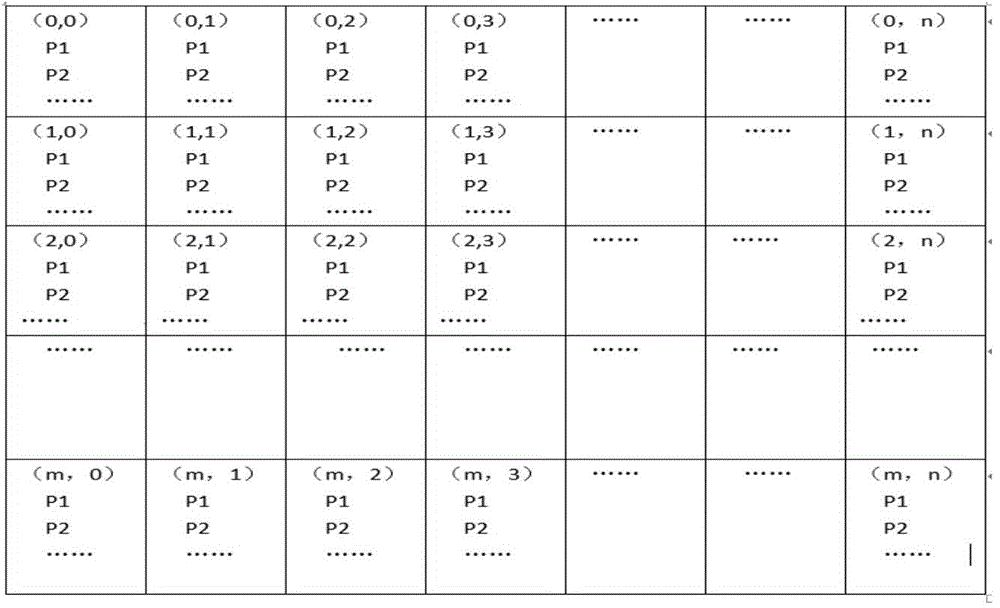
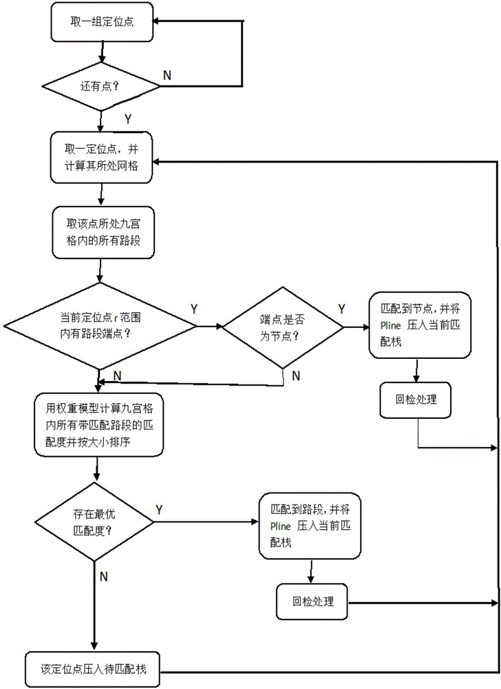
[0050] The three-stage method means that for a GPS positioning point, there are three possible matching results: matching to a node, matching to a road section, and temporarily undetermined. Its execution process is to first take the positioning point as the center and search with r as the radius, and judge whether the end point of the road segment to be matched in the nine-square grid where the point is located falls within the range, and if so, judge whether the end point is a node in the road network, If so, match the anchor point to the node, otherwise judge whether the anchor point can be matched to a road section in the road section to be matched, if so, the match is successful, otherwise mark the anchor point as temporarily undetermined. There are three stacks corresponding to the three-segment formula, which are the matched stack, the current matching stack, and the pending matching stack. Each time the matching is successful, the corresponding road segment is pushed in...
PUM
 Abstract
Description
Claims
Application Information
 - R&D
- Intellectual Property
- Life Sciences
- Materials
- Tech Scout
- Unparalleled Data Quality
- Higher Quality Content
- 60% Fewer Hallucinations
Browse by: Latest US Patents, China's latest patents, Technical Efficacy Thesaurus, Application Domain, Technology Topic, Popular Technical Reports.
© 2025 PatSnap. All rights reserved.Legal|Privacy policy|Modern Slavery Act Transparency Statement|Sitemap|About US| Contact US: help@patsnap.com


