

Point matching method for remote sensing images
A remote sensing image, point matching technology, applied in the field of remote sensing image processing
- Summary
- Abstract
- Description
- Claims
- Application Information
AI Technical Summary
Problems solved by technology
Method used
Image


Examples
Embodiment 1
[0066] Example 1: Different spectral remote sensing images
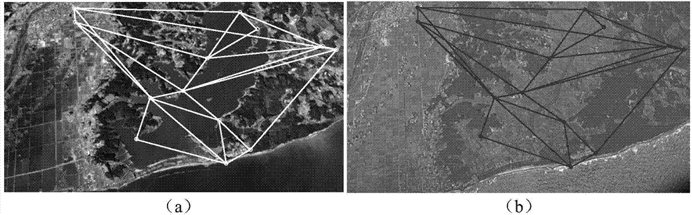
[0067] 15 pairs of remote sensing images with different spectra are used, and the error matching ratio is set at 5%-95%. Matching examples and precision results such as Figure 7 , Figure 8 shown. Figure 7 In (b), (c), (d), and (e), the solid line connection is correct matching, and the dotted line connection is wrong matching. By comparing the present invention with other methods, it can be seen that the present method has achieved the highest precision in terms of Precision, recall and RMSE.
Embodiment 2
[0068] Example 2: Remote sensing images before and after disasters
[0069] 15 pairs of remote sensing images before and after the disaster are used, and the error matching ratio is set at 5%-95%. Matching examples and precision results such as Figure 9 , Figure 10 shown. Figure 9 In (b)(c)(d)(e) the solid line connection is the correct match, and the dotted line connection is the wrong match.
[0070] Through comparative experiments, it can be proved that the method of the present invention has the best performance in terms of accuracy index, especially when the proportion of correct matching is small.
PUM
 Abstract
Description
Claims
Application Information