Large-plotting-scale tilt image measuring method based on depth image

A technology of oblique image and mapping method, applied in the field of aerial photogrammetry, can solve problems such as inability to measure building information, and achieve the effect of saving field measurement workload, expanding application fields, and improving efficiency

Active Publication Date: 2016-09-21
武汉讯图科技有限公司
View PDF3 Cites 9 Cited by
  • Summary
  • Abstract
  • Description
  • Claims
  • Application Information

AI Technical Summary

Problems solved by technology

[0006] In Document 5, Wang Qing summarized several oblique image measurement methods that are common at home and abroad. One of the oblique image measurement methods is to use a single oblique image combined with DEM for measurement. This method uses a single image and DEM to perform three-dimensional Coordinate measurement, but because DEM has no non-ground point information, it cannot measure side information such as buildings; and the measurement method based on building characteristics mentioned in the article does not clarify detailed technical ideas

Method used


Image

  • Large-plotting-scale tilt image measuring method based on depth image
  • Large-plotting-scale tilt image measuring method based on depth image
  • Large-plotting-scale tilt image measuring method based on depth image

Examples


Embodiment Construction

[0041] In order to facilitate the understanding and implementation of the present invention by those of ordinary skill in the art, the present invention will be further described in detail below with reference to the accompanying drawings and embodiments. It should be understood that the embodiments described herein are only used to illustrate and explain the present invention, but not to limit it. this invention.

[0042] A large-scale oblique image mapping method based on a depth map provided by the present invention includes the following steps:

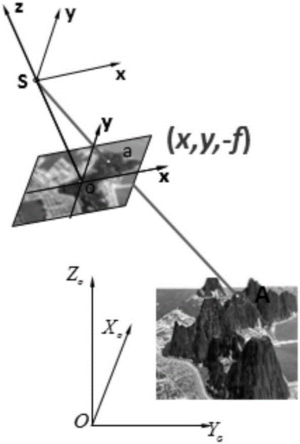
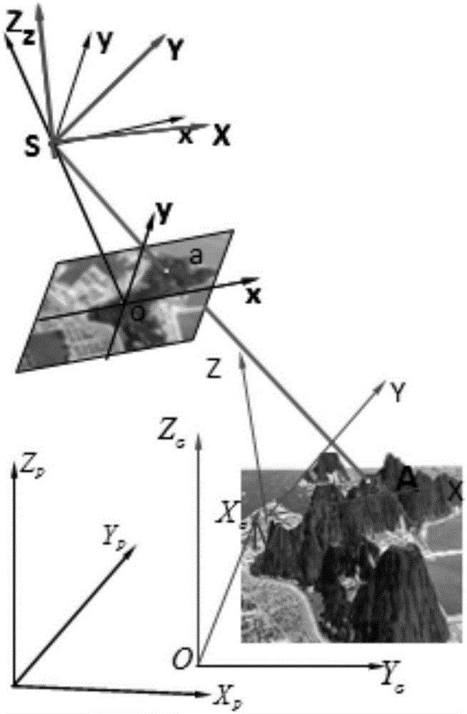
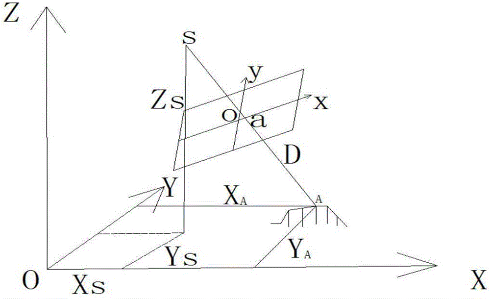
[0043]Step 1: Obtain a sequence of oblique images, and perform stereo matching on the oblique images to obtain a depth image map;

[0044] Oblique photogrammetry is a new type of aerial photography method that uses an oblique aerial camera to obtain ground object information. It uses five lenses to simultaneously obtain five images of the area where the measurement target is located at five angles: down, front, rear, left and righ...


PUM


Abstract

The invention discloses a large-plotting-scale tilt image measuring method based on a depth image; the depth image acquired by dense matching of the tilt images is used as a data source, an image point position of a to-be-measured target is measured on single image, a three-dimensional coordinate of the to-be-measured target is calculated through a geometry relationship between the single image and the depth image, multi-view information of the to-be-measured target is searched through an optimal baseline principle and a least square method, and thus the reliability and stability of the finally obtained measurement three-dimensional coordinate are improved. While the large-plotting-scale image measurement precision can be met, the measurement work efficiency of large-plotting-scale field work measurement is improved, and a large amount of field work measurement workload is saved.

Description

technical field [0001] The invention belongs to the technical field of aerial photogrammetry, and in particular relates to a method for measuring three-dimensional point coordinates based on a single image in an oblique image obtained by using the oblique photogrammetry technology to achieve large-scale mapping of the oblique image. Background technique [0002] The traditional aerial photography technology generally obtains the information measured on the top of the terrain and features, but the information such as the side texture and 3D geometric structure of the terrain and features with obvious fluctuations has been limited, which makes the application of photogrammetry technology in image mapping. In recent years, oblique photogrammetry technology has become a new technology that has developed very rapidly in the world, overcoming the limitation of traditional aerial photogrammetry technology that can only be shot from a vertical angle. By integrating POS, DSM and vecto...

Claims


Application Information

Patent Timeline
Patent Type & Authority Applications(China)
IPC IPC(8): G01C11/06
CPCG01C11/06
Inventor 潘飞任旗胜薛万唱郭丙轩张萌
Owner 武汉讯图科技有限公司
Why Eureka
Try Eureka