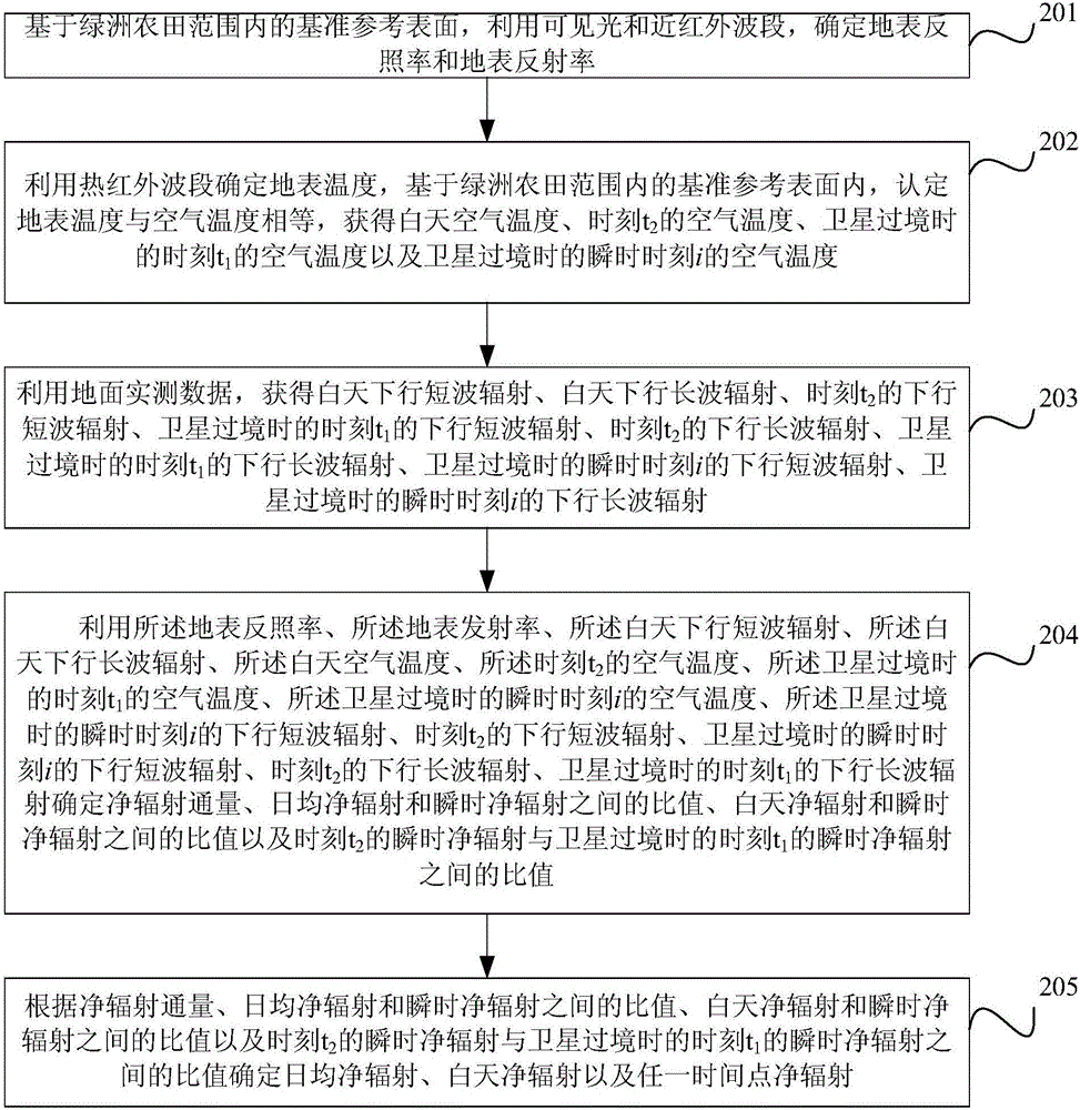
Method and device for estimating clear sky solar radiation in oasis farmland
A solar radiation and farmland technology, applied in the field of solar radiation, can solve problems such as difficulty in meeting various needs, overestimation of net radiation in day and night and average daily net radiation, and error in results.
- Summary
- Abstract
- Description
- Claims
- Application Information
AI Technical Summary
Problems solved by technology
Method used
Image
Examples
Embodiment
[0129] ●Overview of the experimental area
[0130] Such as Figure 5 Shown is the schematic diagram of the experimental area of this embodiment. The experimental area is the Manas River Basin in a typical oasis area in Xinjiang. It is located at the northern foot of Tianshan Mountain in Xinjiang and the southern edge of the Junggar Basin. The administrative area includes Shihezi City, Shawan County and Manas County, and the Xinjiang Production and Construction Corps No. The farming and pastoral regiments of the Eighth and Sixth Divisions. The geographical location is 43°27′-45°21′N, 85°01′-86°32′E, and the total area of the watershed is about 2.1×10⁴km 2 , the terrain slopes from southeast to northwest, with the highest altitude of 5242m and the lowest of 256m. The topographical slopes are divided into three major geomorphological types: mountains, piedmont plains and deserts from south to north. The basin is an inland arid area, with hot and dry summers and cold and wind...
PUM
 Abstract
Description
Claims
Application Information
 - R&D
- Intellectual Property
- Life Sciences
- Materials
- Tech Scout
- Unparalleled Data Quality
- Higher Quality Content
- 60% Fewer Hallucinations
Browse by: Latest US Patents, China's latest patents, Technical Efficacy Thesaurus, Application Domain, Technology Topic, Popular Technical Reports.
© 2025 PatSnap. All rights reserved.Legal|Privacy policy|Modern Slavery Act Transparency Statement|Sitemap|About US| Contact US: help@patsnap.com


