

GIS-based slope collapse distribution statistical method
A technology of distribution statistics and statistical areas, applied in computing, special data processing applications, instruments, etc., can solve problems such as inability to directly cross-comparison, different meanings, quantitative comparison of values, etc., to avoid manual errors, reduce workload, and improve The effect of statistical efficiency
- Summary
- Abstract
- Description
- Claims
- Application Information
AI Technical Summary
Problems solved by technology
Method used
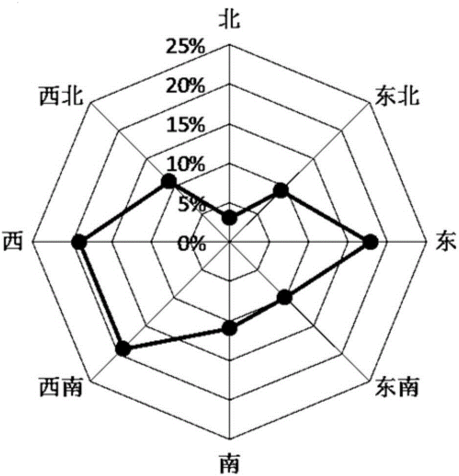
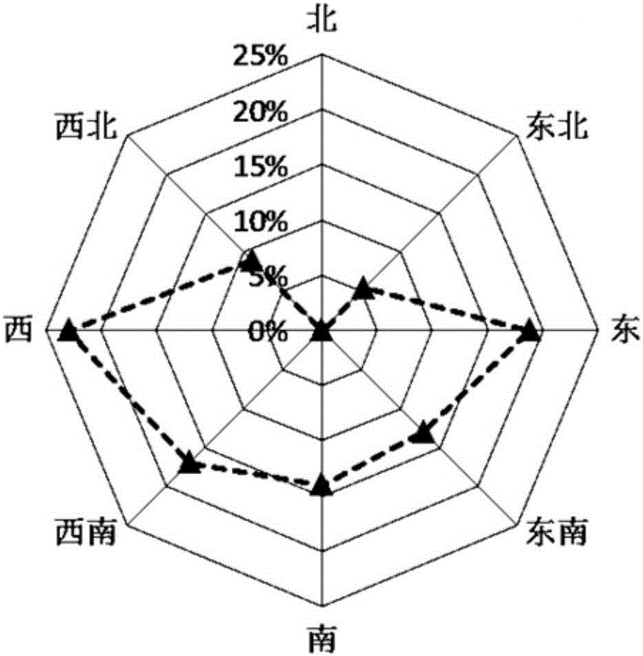
Image

Examples
Embodiment Construction
[0020] Wuhua County, Guangdong is located in the northeast of Guangdong, on the upper reaches of the Han River, and is the most densely distributed area of collapsed hills in the country; Youtian Town is located in the middle east of Wuhua County, bordering Shuikou Town, Xingning City. North latitude 23°51′39″-23°58′37″, east longitude 115°48′48″-115°55′16″, the total land area of the town is 85.6km 2 , the soil parent material is mainly deep granite weathering.
[0021] The statistical process of the present invention will be further described below by taking Youtian Town, Wuhua County, Guangdong Province as the area to be counted.
[0022] Step s101, obtain the 1:10,000 topographic map (1978) of Youtian Town, Wuhua County, Meizhou City, Guangdong Province, and use ArcGIS software to correct and register the topographic map, so that the element coordinates in the topographic map are consistent with the actual coordinates. Ensures the accuracy of feature locations during ...
PUM
 Abstract
Description
Claims
Application Information