

An Airborne Formation Flight Instruction System Based on Inertial/Satellite Relative Navigation
A relative navigation and computer system technology, applied in the field of airborne formation flight instruction system, can solve the problems that the pilot cannot obtain the precise position and state information of the aircraft, the safety assessment is not clearly defined and quantified, and the accuracy cannot meet the requirements of tight formation, etc. Achieve the effect of good promotion value, widening application and reducing operation burden
- Summary
- Abstract
- Description
- Claims
- Application Information
AI Technical Summary
Problems solved by technology
Method used
Image

Examples
Embodiment Construction
[0024] The present invention will be described in detail below in conjunction with the accompanying drawings.
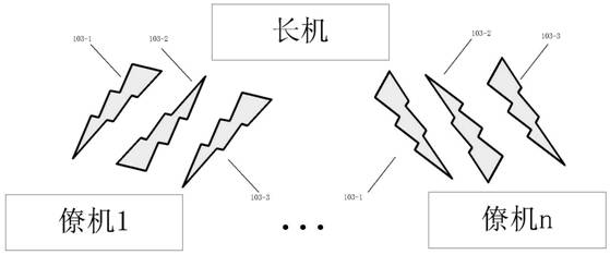
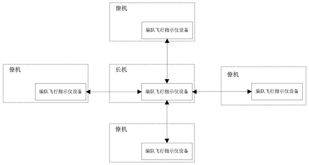
[0025] figure 1 It is a schematic diagram of a portable formation flight indicator system based on inertial / satellite relative navigation technology of the present invention. In the system, both the lead plane and the wingman are equipped with formation flight indicator equipment, and each wingman indicator communicates with the lead plane indicator through a two-way communication link. Carry out information interaction, form a network structure centered on the lead aircraft, and realize the establishment of formation indication system, calculation of formation relative navigation information, position out-of-tolerance and collision threat alarm, formation information visualization and human-computer interaction functions.
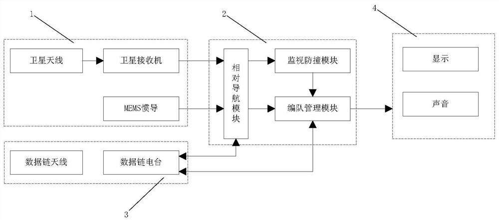
[0026] figure 2 It is a structural schematic diagram of formation flight indicator equipment in a portable formation flight indicator system b...
PUM
 Abstract
Description
Claims
Application Information