Method for dividing urban rainstorm waterlogging evaluation units based on Voronoi diagram

A Thiessen polygon and evaluation unit technology, which is applied in the division of urban rainstorm and waterlogging evaluation units based on Thiessen polygons, can solve problems such as unreasonable

Inactive Publication Date: 2018-06-01
NANJING UNIV OF INFORMATION SCI & TECH
View PDF2 Cites 13 Cited by
  • Summary
  • Abstract
  • Description
  • Claims
  • Application Information

AI Technical Summary

Problems solved by technology

However, this method only considers terrain data, which is

Method used


Image

  • Method for dividing urban rainstorm waterlogging evaluation units based on Voronoi diagram
  • Method for dividing urban rainstorm waterlogging evaluation units based on Voronoi diagram
  • Method for dividing urban rainstorm waterlogging evaluation units based on Voronoi diagram

Examples


Embodiment Construction

[0023] Below in conjunction with accompanying drawing and specific embodiment the present invention will be described in further detail:

[0024] Now select some areas of a certain city as an example:

[0025] A method for dividing evaluation units of urban rainstorm waterlogging based on Thiessen polygons, comprising the following steps:

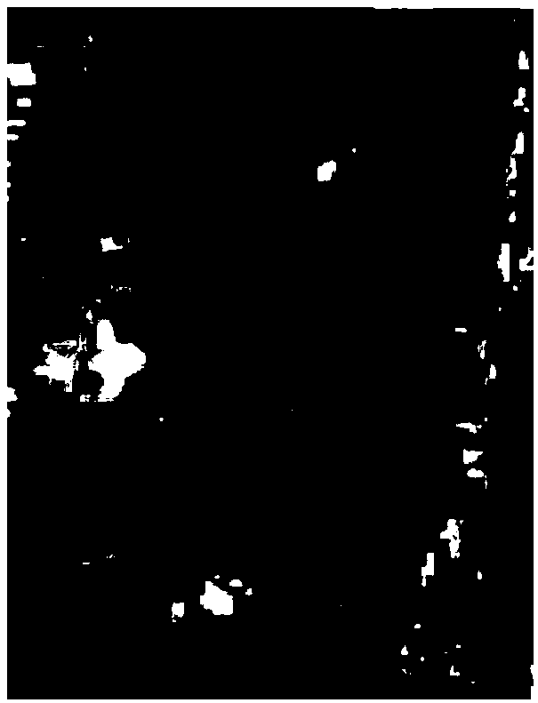
[0026] (1) Relevant DEM data such as figure 1 As shown, using the D8 algorithm to calculate the direction of water flow in this area is as follows figure 2 shown;

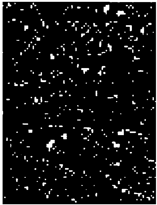
[0027] (2) Carry out depression extraction and convert to vector point data, the result is as follows image 3 As shown, it can be clearly found that there are too many depressions, which need to be screened

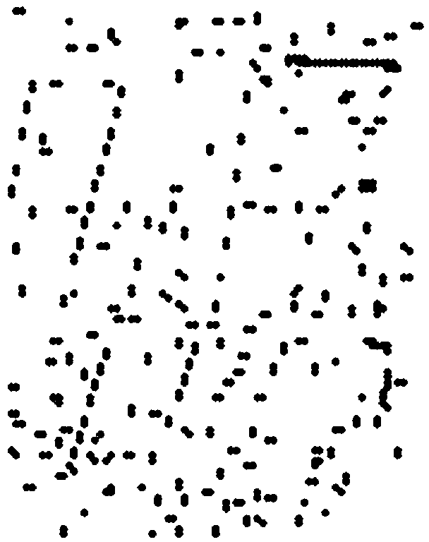
[0028] (3) Perform buffer analysis on low-lying points and merge overlapping areas, such as Figure 4 , and then extract the point data in this area to achieve the purpose of merging and gathering low-lying points. The result is as follows Figure 5 shown;

[0029]...


PUM


Abstract

The invention discloses a method for dividing urban rainstorm waterlogging evaluation units based on a Voronoi diagram. The method includes the steps of using DEM data to determine the direction of water flow to extract low-lying points, and using low-lying point buffer zones to carry out combined screening for the low-lying points; intercepting centerlines of roads and rivers with regular grids,and selecting a center point of each section of the centerline; and generalizing pipeline data to extract real rainwater wells, water outlets and other nodes, and building a Voronoi diagram based on the above low-lying points, road and water system center points, pipelines and other nodes so as to complete the division of evaluation units in a study area. Compared with a traditional method for dividing waterlogging evaluation units using topographic data alone, the method integrates the functions of the actual water system and roads to collect the waterlogging and accumulated water on the basis of the topographic data, so that the divided waterlogging evaluation units better fit the actual situation.

Description

technical field [0001] The invention discloses a method for establishing Thiessen polygons by using low-lying points, central points of road water systems and inspection wells as nodes to realize the division of evaluation units of research areas, which belongs to the urban waterlogging monitoring and early warning technology. Background technique [0002] Constructing an urban storm-flood model to simulate rainstorm and waterlogging conditions with different rainfall intensities is an important technical method for risk assessment of torrential rainstorm and waterlogging disasters. The different ways of dividing the evaluation units in the study area will have a great impact on the simulation results of the model. At present, the commonly used method for dividing evaluation units is to use a single DEM data to extract the flow direction to classify the river network and realize the division of the watershed. However, this method only considers terrain data, which is unreas...

Claims


Application Information

Patent Timeline
IPC IPC(8): G06Q10/06G06Q50/26
CPCG06Q10/0635G06Q50/26
Inventor 薛丰昌张嫣然黄敏敏唐步兴
Owner NANJING UNIV OF INFORMATION SCI & TECH
Why Eureka
Try Eureka