

Aerial image geometric correction method without control points
An aerial image and geometric correction technology, which is applied in image enhancement, image analysis, image data processing, etc., to achieve the effect of improving the matching score and the matching accuracy rate
- Summary
- Abstract
- Description
- Claims
- Application Information
AI Technical Summary
Problems solved by technology
Method used
Image


Examples
Embodiment Construction
[0029] The specific implementation manner of the invention will be further described below in conjunction with the technical scheme and accompanying drawings.
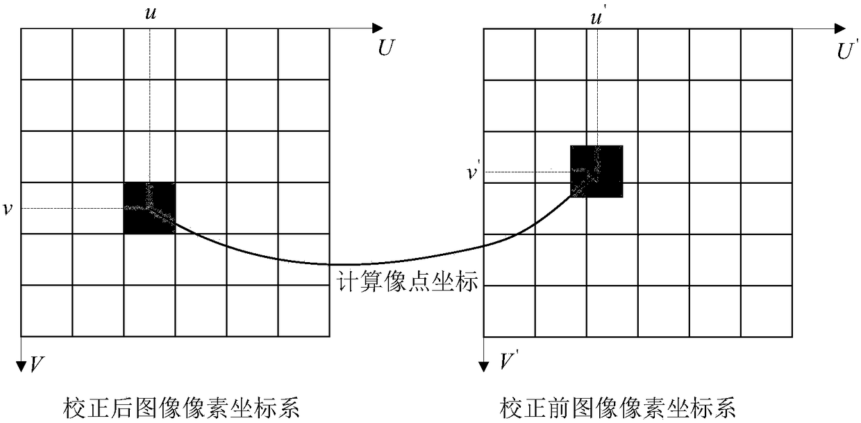
[0030] An aerial image is available, see figure 2 (a), image width W in =1200 pixels, image height H in = 1200 pixels. Known pitch angle α=-5.49104 degrees, roll angle β=23.65296 degrees, yaw angle γ=152.12839 degrees, and flying height H=245 meters. Image center (C u ,C v )=(1288.00,1029.00), unit: pixel; physical length of unit pixel (d x ,d y )=(0.00345,0.00345), unit: mm / pixel; focal length (f x , f y )=(4.968,4.968), unit: mm. After correction, the cubic spline interpolation method is used to calculate the specific pixel value. The image correction process is as follows:
[0031] Step 1, using formula (1) to convert the pixel coordinates (u, v) of the corrected image into image physical coordinates (x, y);
[0032] Step 2, use the formula (2) to inversely correct the height of the physical coordinates...
PUM
 Abstract
Description
Claims
Application Information