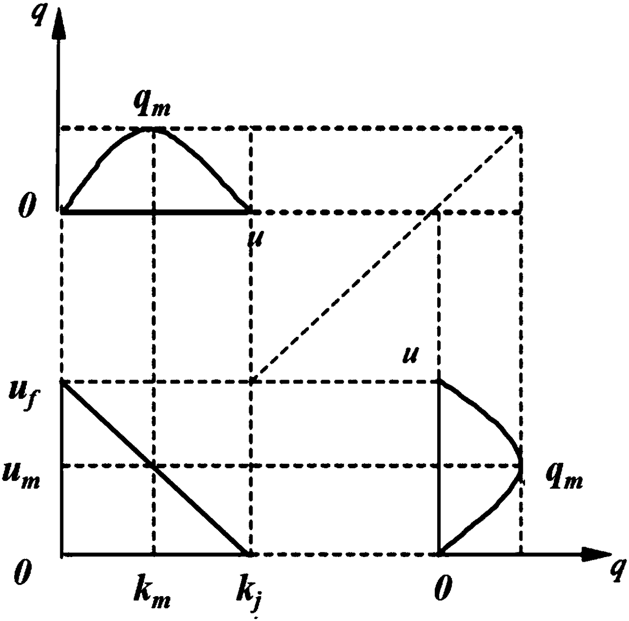
Vehicle activity level analysis method facing real-time road network discharge assessment
An analysis method and real-time road condition technology, applied in the field of environmental science and intelligent transportation, can solve the problems of immature calculation algorithm of traffic exhaust real-time emission and failure to realize real-time online emission, so as to optimize road operation conditions and improve urban air quality. Quality and Emissions Reduction Effects
- Summary
- Abstract
- Description
- Claims
- Application Information
AI Technical Summary
Problems solved by technology
Method used
Image
Examples
Embodiment 1
[0039]A vehicle activity level analysis method for real-time road network emission assessment, the specific steps are as follows:
[0040] Step 1. Real-time acquisition, storage, and processing of public real-time traffic condition information by means of block interception, road network matching based on ArcGIS, status discrimination based on block color recognition method, and processing of the real-time traffic condition information into Actionable data for time identification, link identification, and status identification. The disclosed real-time traffic and road condition information is the real-time traffic condition grade with road section as the unit, and the time resolution is less than 1 hour. The road condition level should be at least divided into three levels: free flow, congested flow, and blocked flow, and they can be clearly distinguished. The processing of the public real-time traffic condition information is specifically as follows: firstly, for the public ...
Embodiment 2
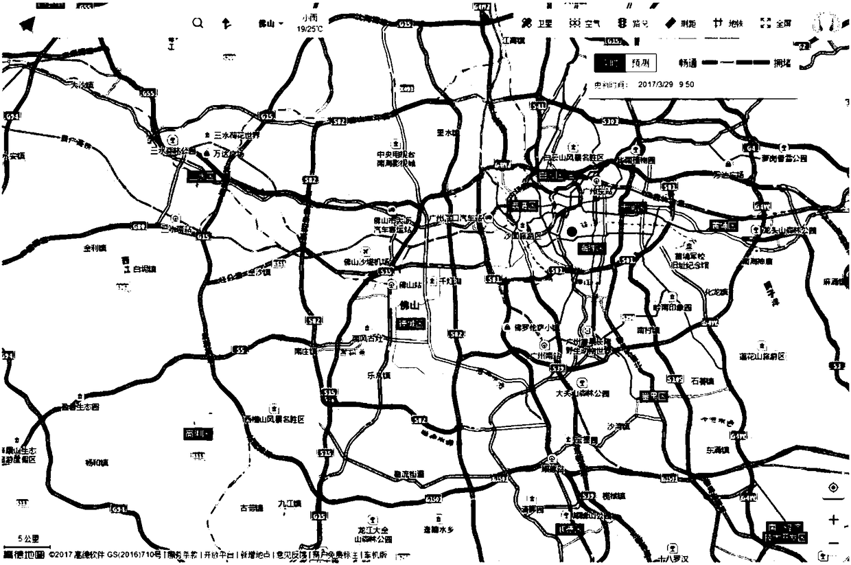
[0061] Taking Foshan City as the experimental area, using electronic map real-time road condition information data as the public source of real-time traffic condition information, this paper further explains the vehicle activity level analysis method for real-time road network emission assessment.
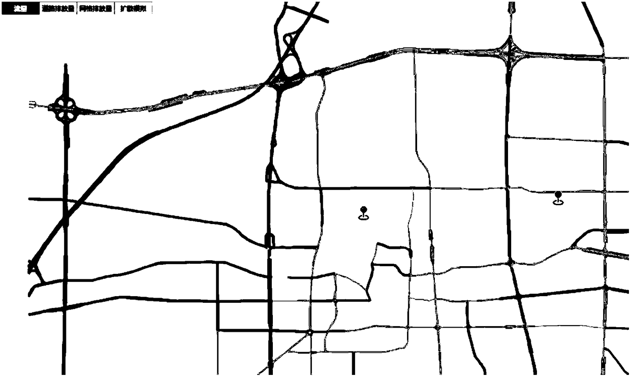
[0062] Step 1. For the real-time traffic information data of the electronic map, automatically acquire and store the tiles in the real-time road conditions of the web map at a certain time frequency, and perform road network matching on the tile data based on ArcGIS, and perform state discrimination based on the tile color recognition method, and The real-time traffic and road condition information is processed into operable data with time marks, road section marks, and state marks. With the development of intelligent transportation system and big data technology, traffic information collection technology has been rapidly enriched and improved, which provides the possibility to wide...
PUM
 Abstract
Description
Claims
Application Information
 - R&D
- Intellectual Property
- Life Sciences
- Materials
- Tech Scout
- Unparalleled Data Quality
- Higher Quality Content
- 60% Fewer Hallucinations
Browse by: Latest US Patents, China's latest patents, Technical Efficacy Thesaurus, Application Domain, Technology Topic, Popular Technical Reports.
© 2025 PatSnap. All rights reserved.Legal|Privacy policy|Modern Slavery Act Transparency Statement|Sitemap|About US| Contact US: help@patsnap.com


