

System and method for showing farmland soil components by using images
An image representation and imaging system technology, applied in the field of systems that use images to represent farmland soil components, can solve unsolved problems such as soil collection, detection image recombination, and insinuation
- Summary
- Abstract
- Description
- Claims
- Application Information
AI Technical Summary
Problems solved by technology
Method used
Image

Examples
Embodiment 1
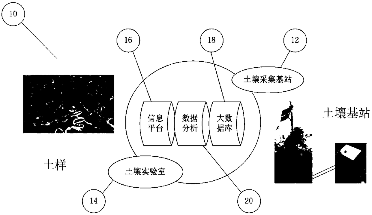
[0055] first for figure 1 The traditional soil detection system 10 detects soil components through a soil base station 12 and a soil laboratory 14. The soil base station 12 utilizes mobile 3G / 4G to upload and collect data. The information platform 16 is responsible for analyzing and uploading various sensor data and storing them in the cloud database 18 . The sensor data 20 is analyzed and processed (bias corrected) by cloud computing so that it ultimately reflects the soil composition. The soil base station 12 is fixed on a representative farmland and collects soil data in real time. The soil laboratory 14 tests each soil sample and stores the test results (data) in the cloud database 18 . Combined with other data for further analysis.
[0056] Utilizing the Internet of Things (IOT) and information technology, soil base stations 12 can be distributed to designated locations (agricultural land), and real-time collection and upload of data to the cloud-based database 18. ...
Embodiment 2
[0106] method example
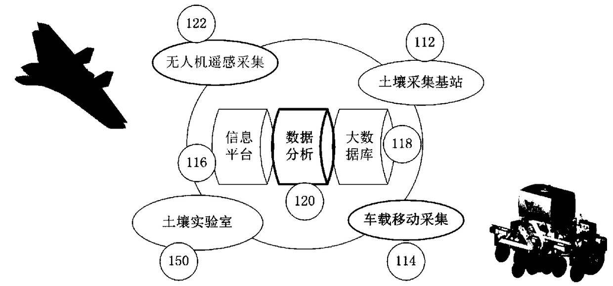
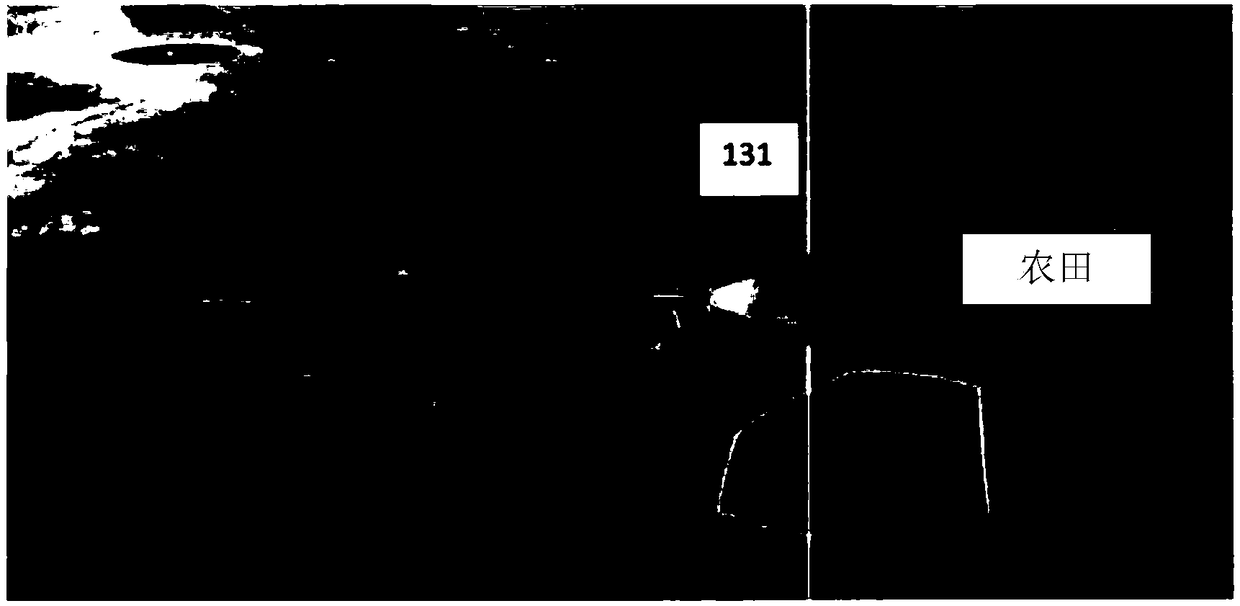
[0107] Assuming a common case, using remote sensing spectral images to represent the soil composition, EC, OM and pH of 1,000 acres of farmland (many plots), and embodying intelligent planning and guessing results using big data. Using the system of the present invention, a drone 131 is flown over the field to obtain a multispectral image 160 of the entire 1000 acres. The image is reconstructed from a large number of locally overlapping images. The mobile vehicle-mounted soil collection system 150 is assigned to a specific regional parcel, such as a 100-acre parcel, for mobile collection. The mobile vehicle-mounted soil collection system 150 acquires the plot data lattice, and associates it with the corresponding area of the multispectral image. That is, an area of 100 acres is covered to a corresponding multispectral image area. If the amount of information is not enough to analyze the entire 150, according to the spectral image 160, the plots c...
PUM
 Abstract
Description
Claims
Application Information