Generalized RQD acquisition method for rock mass eliminating influence of measuring blank space
A rock mass and blank technology, which is applied in the field of generalized RQD acquisition of rock mass, can solve the problems of calculation deviation and affect the accuracy of rock mass, etc., and achieve the effect of improving quantity and quality, reducing precision damage and large data sample capacity.
- Summary
- Abstract
- Description
- Claims
- Application Information
AI Technical Summary
Problems solved by technology
Method used
Image
Examples
Embodiment 1
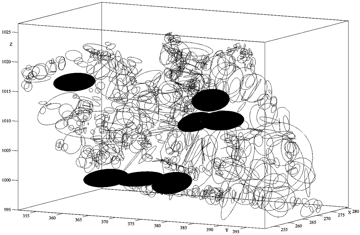
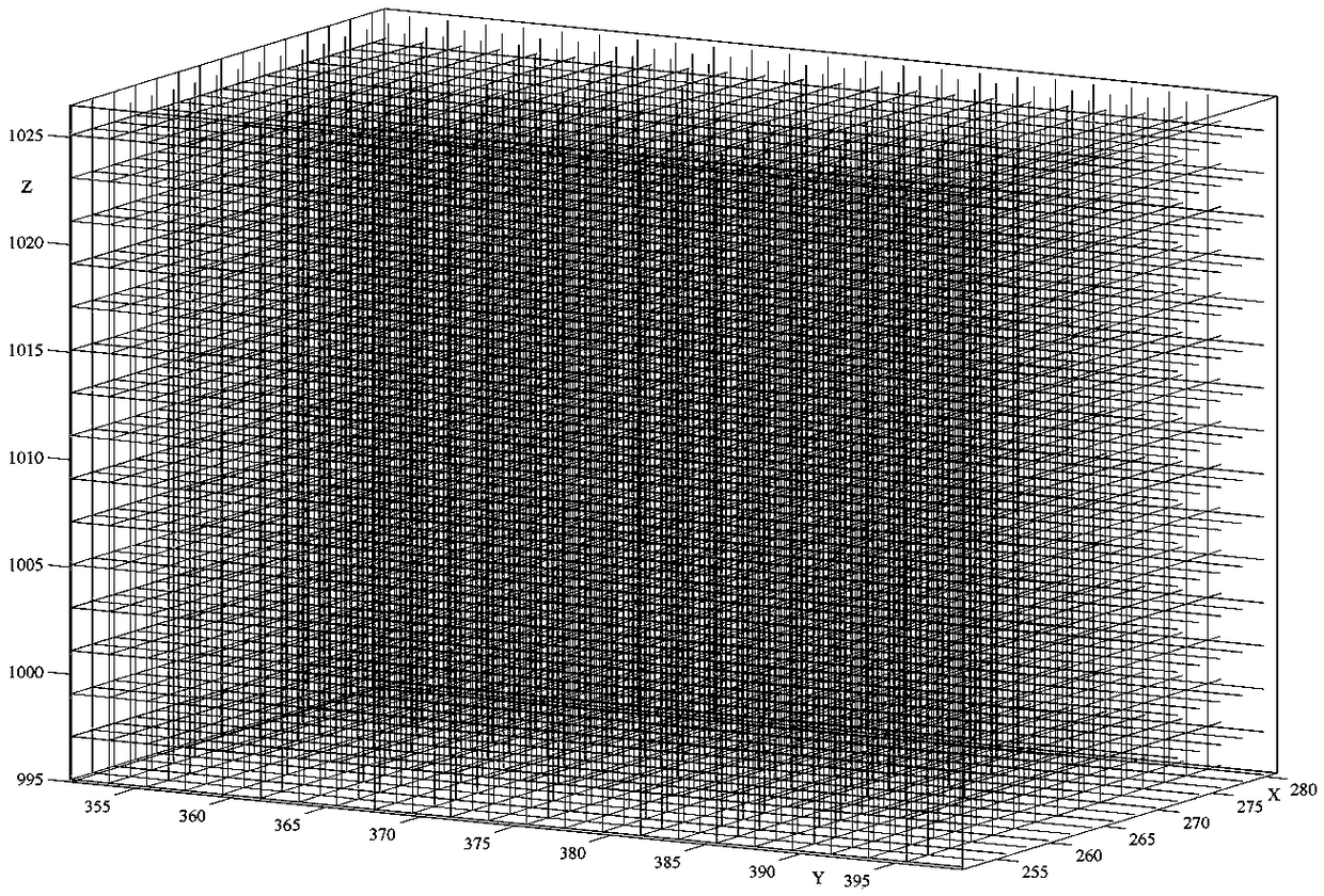
[0061] This embodiment provides a rock mass generalized RQD acquisition method that eliminates the influence of the measurement blank domain, and the method includes the following steps:
[0062] Step S1. For the rock mass to be processed, a three-dimensional model of the rock mass slope is established by using a photogrammetry method.
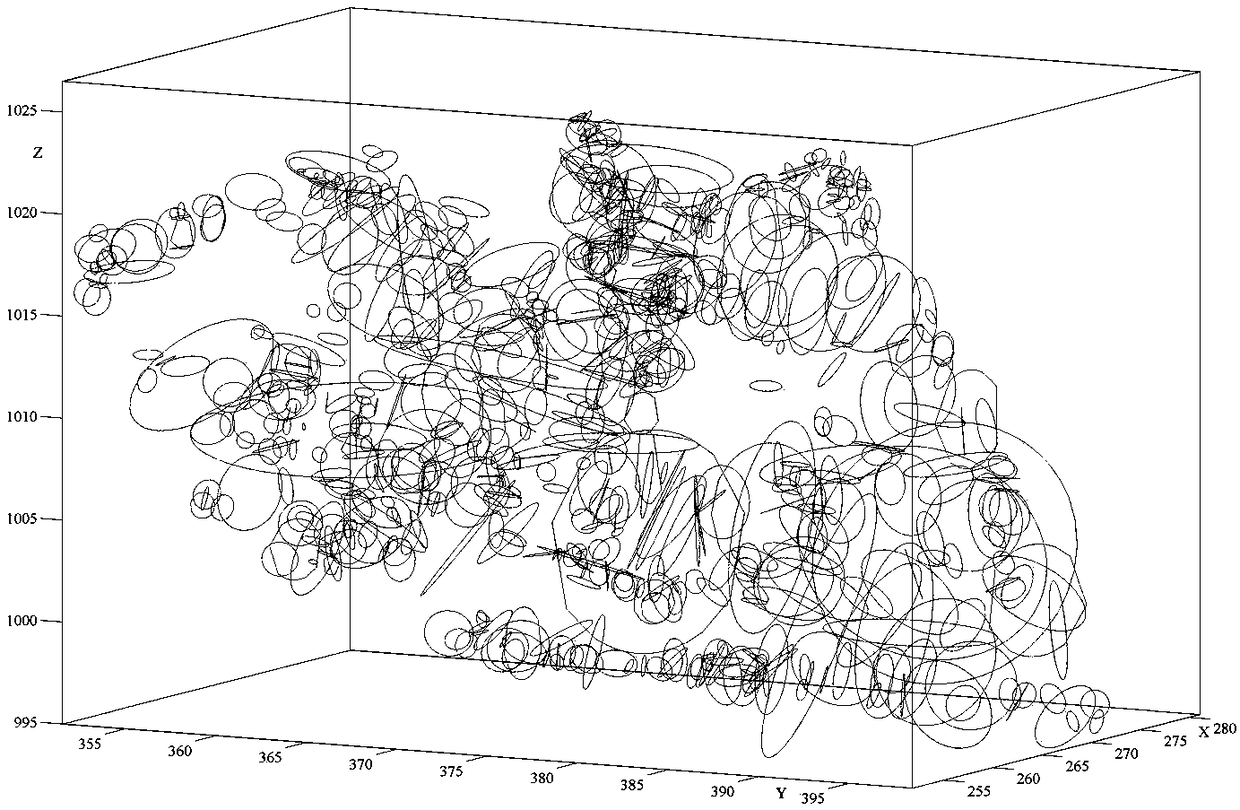
[0063] Step S2, according to the measured data of the discontinuous surface in the three-dimensional model of the rock mass slope, using the space disc rule, establishing a three-dimensional model of the discontinuous surface of the rock mass.
[0064] For example, the measured data of the discontinuity surface in the 3D model of the rock mass slope in this step includes: the coordinate information of the discontinuity surface characteristic point of the panoramic outcrop, the discontinuity surface inclination, inclination angle, trace endpoint coordinates and trace length.
[0065] The trace in this embodiment is the trace of the discontinuou...
Embodiment 2
[0094] In this embodiment, the method for obtaining generalized RQD of rock mass based on the measured three-dimensional data of the discontinuous surface and eliminating the influence of the measurement blank domain includes the following steps:
[0095] 101. Data preparation
[0096] For example, the experimental data of this embodiment is based on the image data of the rock mass slope obtained by the photogrammetry method in a certain quarry and the relevant control point data on the slope obtained by the control measurement method;
[0097] 102. Establish a 3D model of a discontinuous surface
[0098] Based on the method of photogrammetry, a 3D model of the rock mass slope was established, and the coordinate information of the discontinuous surface feature points of 683 panoramic outcrops was measured on the model, and the inclination, dip angle, and trace endpoint coordinates of the discontinuous surface were obtained through subsequent processing and trace length and ot...
PUM
 Abstract
Description
Claims
Application Information
 - R&D
- Intellectual Property
- Life Sciences
- Materials
- Tech Scout
- Unparalleled Data Quality
- Higher Quality Content
- 60% Fewer Hallucinations
Browse by: Latest US Patents, China's latest patents, Technical Efficacy Thesaurus, Application Domain, Technology Topic, Popular Technical Reports.
© 2025 PatSnap. All rights reserved.Legal|Privacy policy|Modern Slavery Act Transparency Statement|Sitemap|About US| Contact US: help@patsnap.com


