A mine ecological restoration method based on ecological zoning
A technology of ecological zoning and ecological restoration, applied in special data processing applications, instruments, electrical digital data processing, etc., can solve the problems of lack of quantitative design in ecological restoration
- Summary
- Abstract
- Description
- Claims
- Application Information
AI Technical Summary
Problems solved by technology
Method used
Image
Examples
Embodiment 1
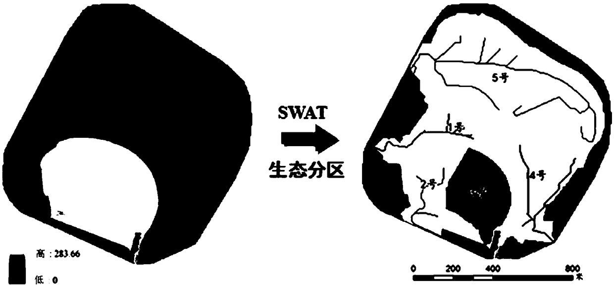
[0046] The repaired mine of this embodiment is the dump site of a certain iron mine in the eastern part of Liaoning Province. On the basis of slope shaping, according to the technical process of the present invention ( figure 1 ), to carry out the quantitative design of mine ecological restoration measures, with a total area of 60ha, and the restoration design and test verification time is 2 years.
[0047] Step 1: Obtain data and build a model;
[0048] 1) Collect sub-watershed division data
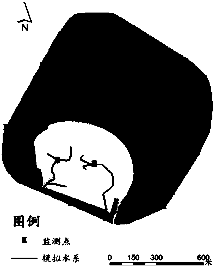
[0049] DEM data, covering the mining area to be repaired, the accuracy is 5m, see figure 2 ;
[0050] 2) Collect soil erosion assessment data
[0051] Hydrological data, surface runoff, monthly average data, statistical results are shown in Table 1;
[0052] Meteorological data, rainfall at the nearest weather station, daily average data, statistical results are shown in Table 1;
[0053] Land data, collect the land use map of the mining area to be repaired, the accuracy is 5m, ...
Embodiment 2
[0076] The difference between this embodiment and embodiment 1 is that the mine to be repaired is an iron ore mining field in the eastern part of Liaoning Province. The slope is larger than that of the dump site, and soil erosion is more likely to occur in the bare land, with a total area of 98ha.
[0077] Step 1: Obtain data and build a model;
[0078] 1) Collect sub-watershed division data
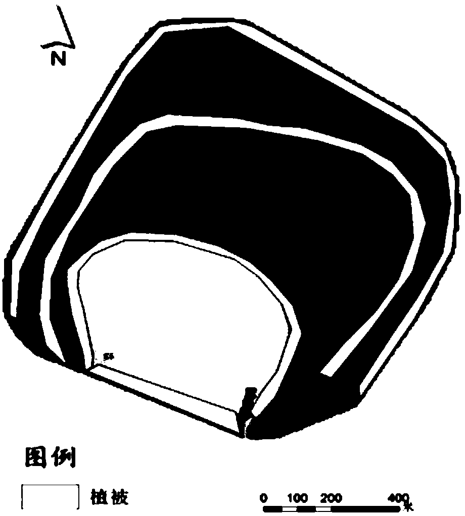
[0079] DEM data, covering the mining area to be repaired, the accuracy is 5m, see Figure 5 ;
[0080] 2) Collect soil erosion assessment data
[0081] Hydrological data, surface runoff, monthly average data, statistical results are shown in Table 5;
[0082] Meteorological data, the nearest weather station rainfall, is identical with embodiment 1;
[0083] Land data, collect the land use map of the mining area to be repaired, the accuracy is 5m, and the statistical results are shown in Table 6;
[0084] For the vegetation data, establish the vegetation types corresponding to the ...
PUM
 Abstract
Description
Claims
Application Information
 - R&D
- Intellectual Property
- Life Sciences
- Materials
- Tech Scout
- Unparalleled Data Quality
- Higher Quality Content
- 60% Fewer Hallucinations
Browse by: Latest US Patents, China's latest patents, Technical Efficacy Thesaurus, Application Domain, Technology Topic, Popular Technical Reports.
© 2025 PatSnap. All rights reserved.Legal|Privacy policy|Modern Slavery Act Transparency Statement|Sitemap|About US| Contact US: help@patsnap.com


