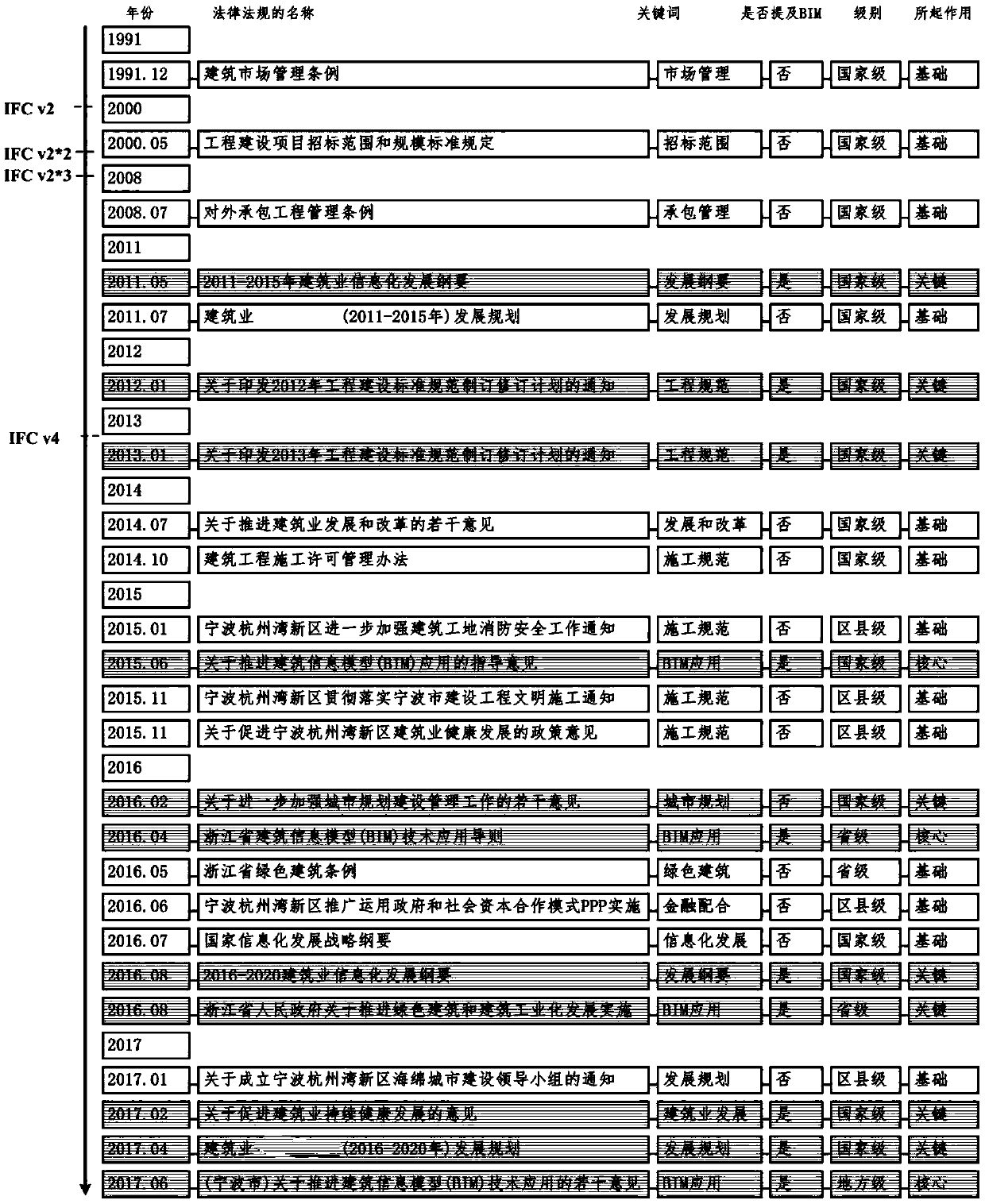
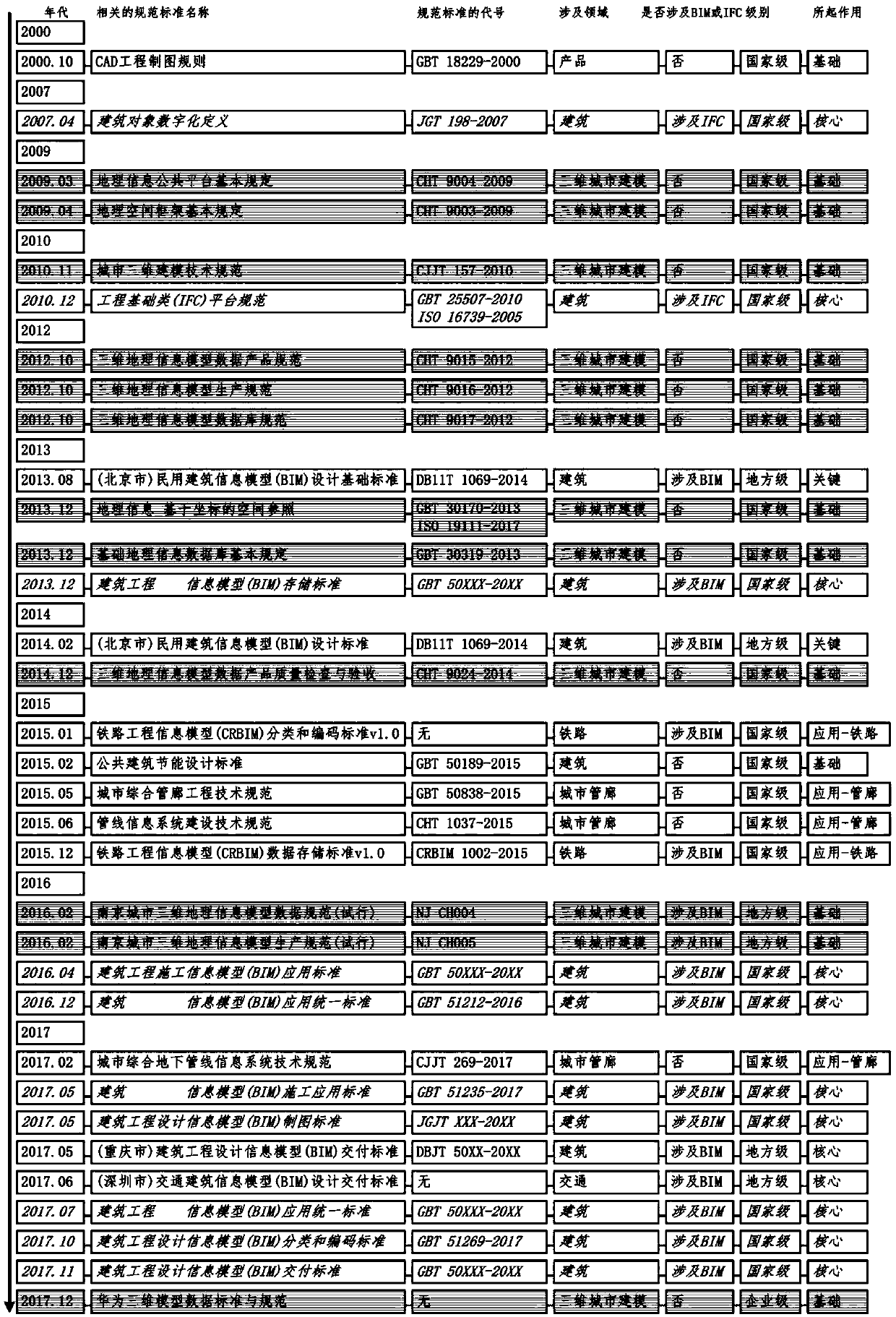
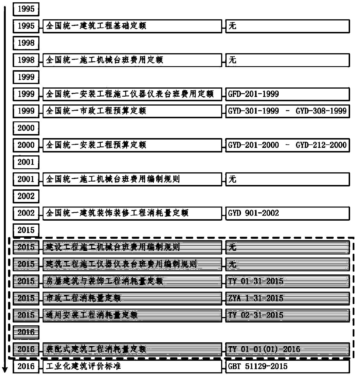
construction method of a three-dimensional space data model integrating a 3D GIS and a BIM
A data model, three-dimensional space technology, applied in the field of geographic information science, can solve problems such as time-consuming, energy and financial resources, technical difficulty in implementation, and limited application value.
- Summary
- Abstract
- Description
- Claims
- Application Information
AI Technical Summary
Problems solved by technology
Method used
Image
Examples
Embodiment Construction
[0101] The method for constructing a three-dimensional spatial data model integrating 3D GIS and BIM of the present invention will be described in detail below in conjunction with the accompanying drawings and specific embodiments.
[0102] A method for constructing a three-dimensional spatial data model integrating 3D GIS and BIM, comprising steps:
[0103] S1. Construct an overall model of a true 3D model compatible with IFC and CityGML;
[0104] S2. Build the bottom layer based on open source OpenGL;
[0105] S3. Build the basic geometry layer focusing on IFC;
[0106] S4. Build an intermediate topology layer that focuses on both IFC and CityGML;
[0107] S5. Build a top-level application layer focusing on CityGML.
[0108] Here, a real three-dimensional spatial data model integrating 3D GIS and BIM is proposed (referred to as SDMIGB model, which is the abbreviation of a 3D Spatial Data Model Integrating Geographic information science and Building information model). SD...
PUM
 Abstract
Description
Claims
Application Information
 - R&D
- Intellectual Property
- Life Sciences
- Materials
- Tech Scout
- Unparalleled Data Quality
- Higher Quality Content
- 60% Fewer Hallucinations
Browse by: Latest US Patents, China's latest patents, Technical Efficacy Thesaurus, Application Domain, Technology Topic, Popular Technical Reports.
© 2025 PatSnap. All rights reserved.Legal|Privacy policy|Modern Slavery Act Transparency Statement|Sitemap|About US| Contact US: help@patsnap.com


