
Underwater crossing pipeline detection integrated system and method
A pipeline detection and integrated system technology, applied in radio wave measurement systems, open-air water source surveys, measurement devices, etc., can solve problems such as inaccurate pipeline positioning, achieve accurate calculation, avoid accidents, and facilitate operation.
- Summary
- Abstract
- Description
- Claims
- Application Information
AI Technical Summary
Problems solved by technology
Method used
Image

Examples
Embodiment Construction
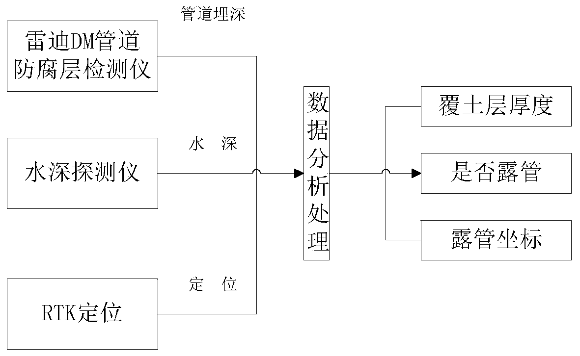
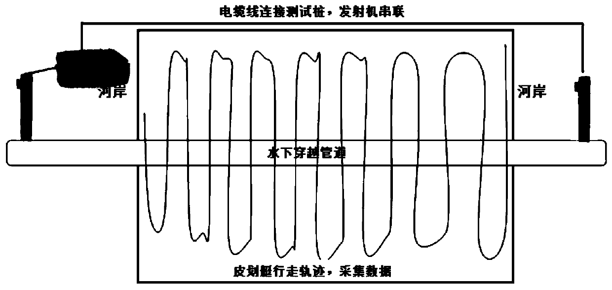
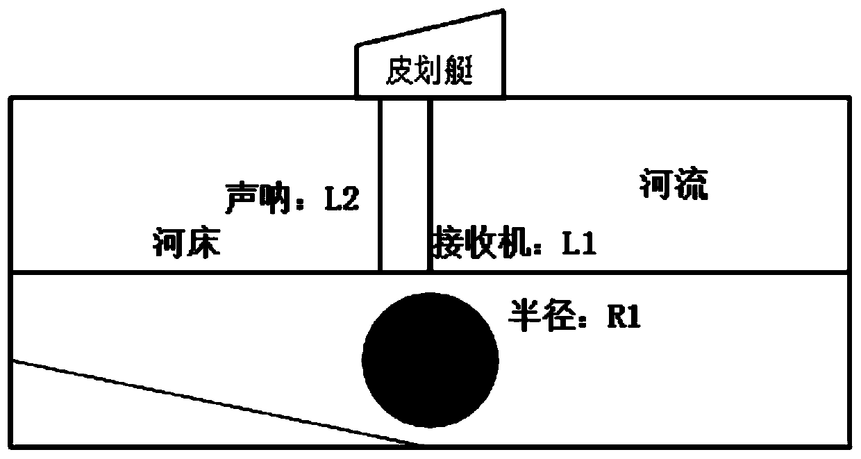
[0050] like Figure 2-5 As shown, an integrated system and method for underwater pipeline detection described in the embodiment of the present invention:
[0051] 1) On-site preparation, including the analysis of the width of the river and the depth of the river, and the determination of the positions of the test piles at both ends of the river;
[0052] 2) The erection of GPS RTK;
[0053] 3) After the installation of the GPS base station is completed, when the data starts to be collected, start to connect the cables to the two nearest test piles at both ends of the river, and connect the electromagnetic signal transmitter in series in the loop to ensure that it forms a loop with the pipeline;
[0054] 4) Pairing of handheld PDA (mobile phone) and mobile antenna;
[0055] 5) For data collection of onshore pipelines at both ends of the river, a point is generally measured every 6-10 meters, and dots are made on the corners and signposts of each pipeline;
[0056] 6) Select ...
PUM
 Abstract
Description
Claims
Application Information