Multispectral remote sensing image atmosphere correction system and method based on reference spectrum matching
A technique of atmospheric correction and reference spectrum, applied in spectrometry/spectrophotometry/monochromator, spectrum investigation, image enhancement, etc., can solve the problems of inapplicability, lack of large-scale dense vegetation, etc., and achieve good results Effect
- Summary
- Abstract
- Description
- Claims
- Application Information
AI Technical Summary
Problems solved by technology
Method used
Image
Examples
Embodiment Construction
[0055] Below in conjunction with accompanying drawing and specific embodiment the present invention is described in further detail:
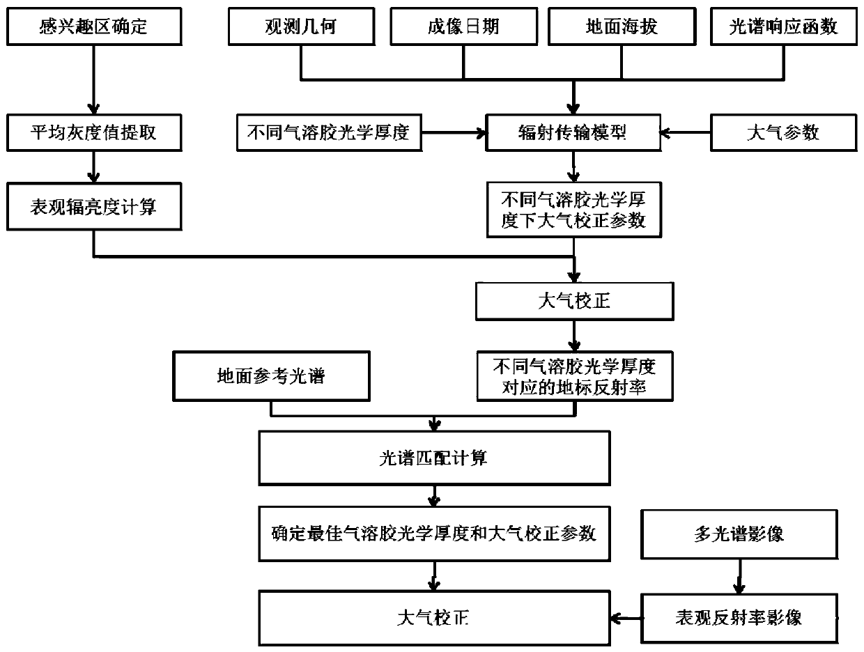
[0056] Such as figure 1 Shown is the flow chart of the method for atmospheric correction of multispectral remote sensing images based on reference spectrum matching in the present invention. The method for atmospheric correction of multispectral remote sensing images based on reference spectrum matching in the present invention specifically includes the following steps:
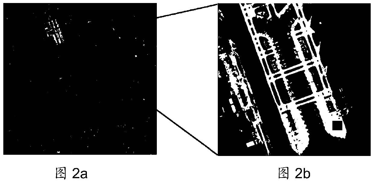
[0057] Step 1. Obtain multi-spectral remote sensing images of urban areas, manually extract images of flat and uniform stable targets fixed on the ground (such as artificial targets such as concrete roads, squares or airports, etc., the airport is taken as an example below), and calculate the average gray value of the stable targets. degree value. According to the apparent radiance scaling coefficient, the average gray value of the airport is converted into the average apparen...
PUM
 Abstract
Description
Claims
Application Information
 - R&D
- Intellectual Property
- Life Sciences
- Materials
- Tech Scout
- Unparalleled Data Quality
- Higher Quality Content
- 60% Fewer Hallucinations
Browse by: Latest US Patents, China's latest patents, Technical Efficacy Thesaurus, Application Domain, Technology Topic, Popular Technical Reports.
© 2025 PatSnap. All rights reserved.Legal|Privacy policy|Modern Slavery Act Transparency Statement|Sitemap|About US| Contact US: help@patsnap.com


