Vegetation radiation transmission model forest fire burning intensity inversing method

A radiative transfer model and forest fire technology, applied in the field of vegetation radiative transfer model inversion of forest fire burning intensity, can solve problems such as spectral confusion, and achieve the effects of improving inversion accuracy, clear indication function, and high accuracy

CN110058262AActive Publication Date: 2019-07-26UNIV OF ELECTRONIC SCI & TECH OF CHINA
0 Cites 2 Cited by

Patent Information

Authority / Receiving Office
CN · China
Current Assignee / Owner
Publication Date
2019-07-26

Smart Images

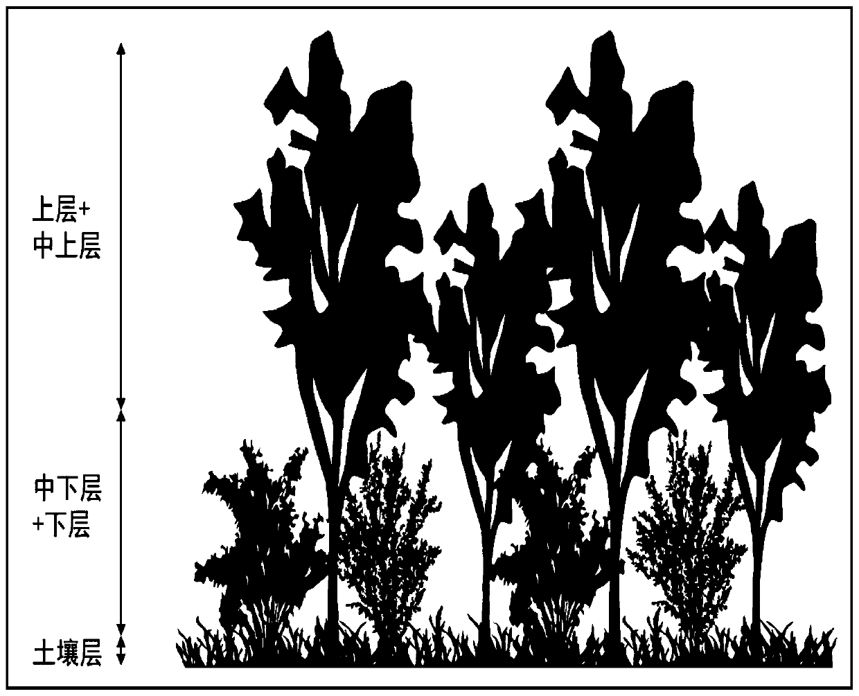
  • Figure 1
    Figure 1
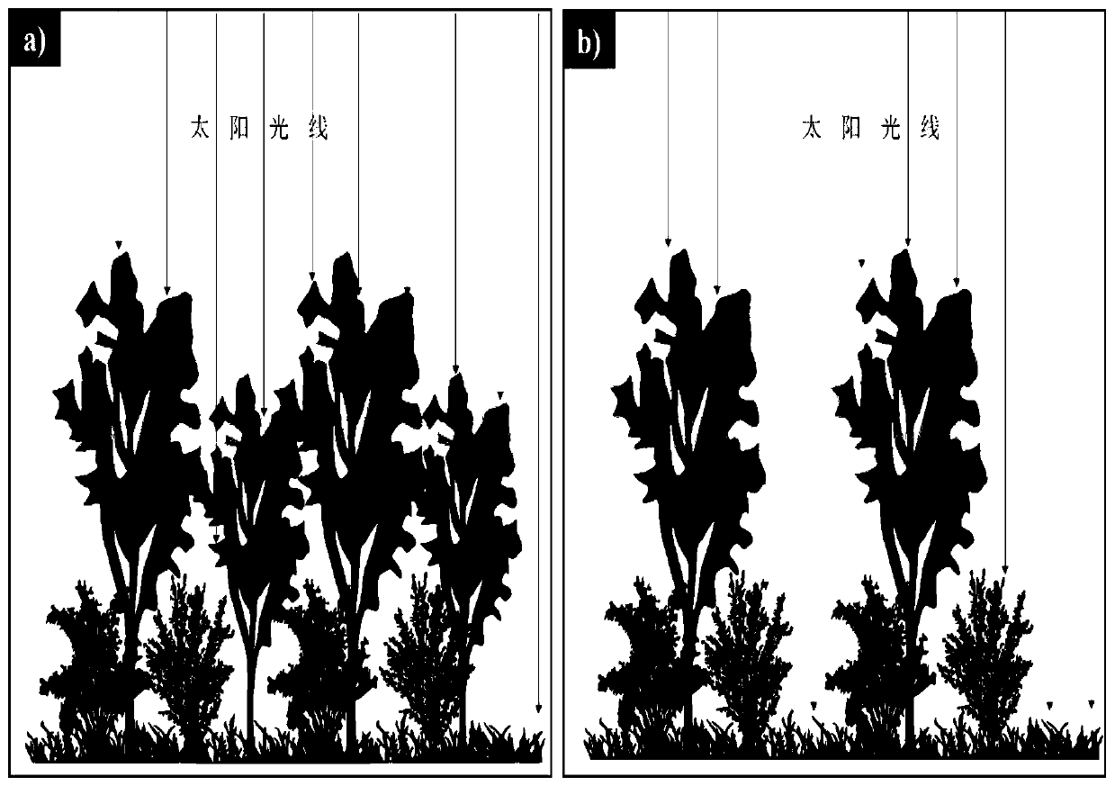
  • Figure 2
    Figure 2
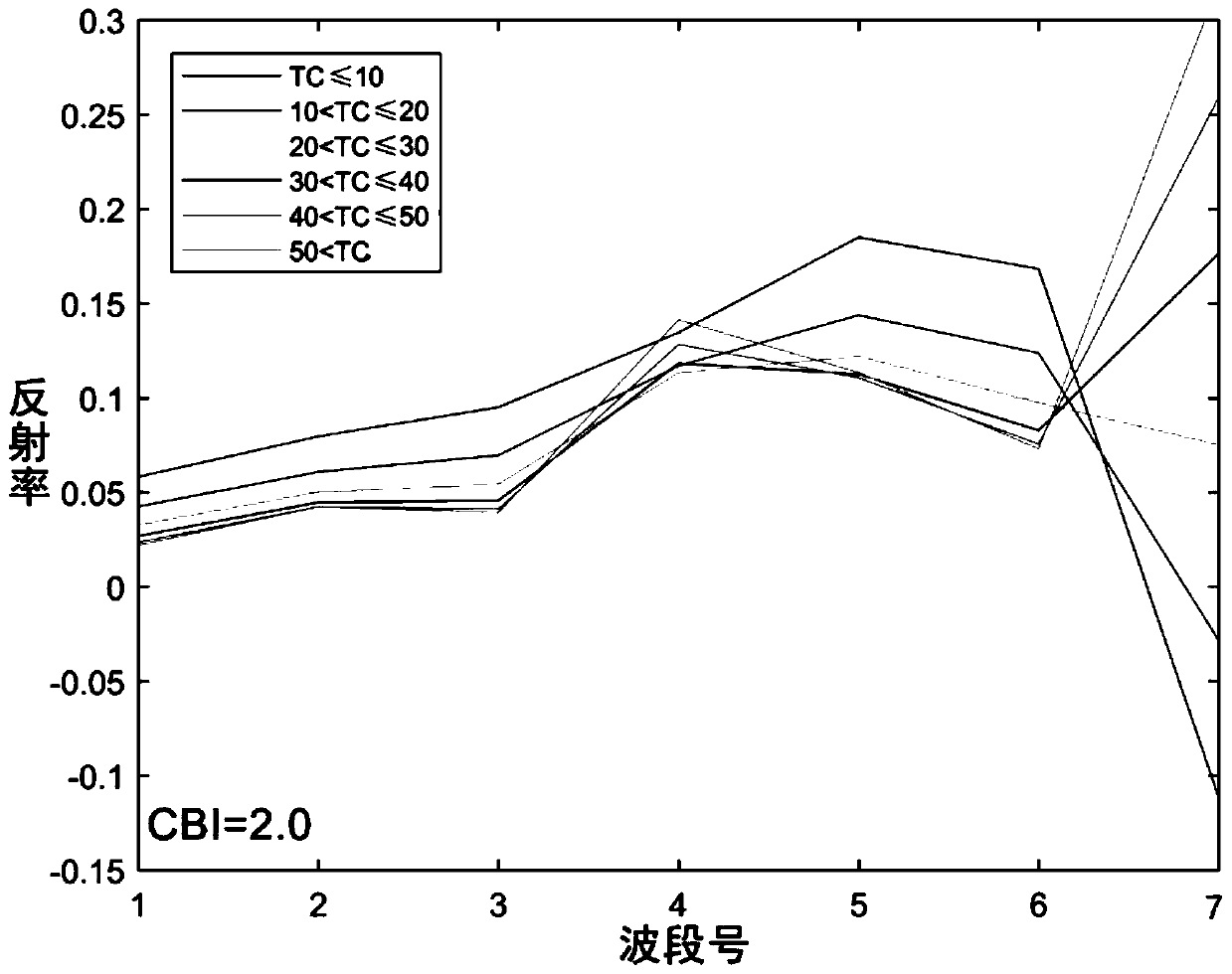
  • Figure 3
    Figure 3
Patent Text Reader

Abstract

The invention discloses avegetation radiation transmission model forest fire burning intensity inversing method based on tree coverage degree parameter stratification, and belongs to the technical field of remote sensing inversion. According to the vegetation radiation transmission model forest fire burning intensity inversing method, tree coverage parameters are introduced into a vegetation radiation transmission model forward simulation, stratification parameterization is conducted according to the variation range, and a lookup table suitable for different tree coverage degree ranges is constructed;and during backward inversion,the tree coverage degree interval is determined by inputting tree coverage degree sensing product, so that burning intensity inversion is conducted in the lookuptable corresponding to the tree coverage degree interval also as to increasethe matching degree of the burning intensity and the spectral response curve of remote sensing and reduce the impact of spectrum confusion on the burning intensity inversion, and thus the accuracy of the burning intensity inversion is further improved. According to the vegetation radiation transmission model forest fire burning intensity inversing method, the actual situation of the ground after fire happens can be more authentically and accurately simulated and inverted, the burning intensity accuracy obtained throughthe inversion is higher, and the disaster assessment after the fire happens and the indicative functions on forest management and protection after the fire happensare clearer.
Need to check novelty before this filing date? Find Prior Art

Description

technical field

[0001] The invention belongs to the technical field of remote sensing inversion, in particular to a method for retrieving the burning intensity of forest fires by a vegetation radiation transfer model Background technique

[0002] Forest fire burn intensity is generally defined as the impact of fire on vegetation and soil in a specific area. Accurate estimation of forest fire burning intensity has important guiding significance for quantifying the impact of fire on key ecological processes (such as tree death, post-disaster vegetation recovery, and intra-species / inter-species competition), as well as post-fire forest protection and management.

[0003] Fires have a direct impact on the physical and chemical properties of surface vegetation and soil. Different states of vegetation, soil and post-disaster ground ash produce different echo signals to remote sensing sensors. Therefore, it is possible to estimate the burning intensity of forest fires based on sat...

Examples

Embodiment Construction

[0030] Below in conjunction with specific embodiment and description accompanying drawing, the improved vegetation radiation transfer model provided by the present invention inverts the method for forest fire combustion intensity to be further described:

[0031] Step 1: Data Preparation

[0032] Firstly, the optical remote sensing images after the forest fires in the study area and the remote sensing data of tree coverage before the fires were obtained. Among them, radiometric calibration, atmospheric correction, cloud and cloud shadow removal operations should be performed on the remote sensing data after the fire to obtain surface albedo data. Tree coverage data can be obtained by using existing remote sensing products or by tree coverage extraction algorithms based on the surface reflectance of pre-disaster remote sensing images. If the current remote sensing products of tree coverage are used, the resampling operation should be carried out to keep the spatial resolution ...