Online monitoring system and monitoring method for surface displacement of coal mine roadway
A technology of surface displacement and coal mine roadway, applied in measuring devices, instruments, optical devices, etc., can solve the problems of inability to measure roadways, inaccurate data analysis, large measurement errors, etc., to reduce measurement costs, high precision, and data recording. immediate effect
- Summary
- Abstract
- Description
- Claims
- Application Information
AI Technical Summary
Problems solved by technology
Method used
Image
Examples
Embodiment 1
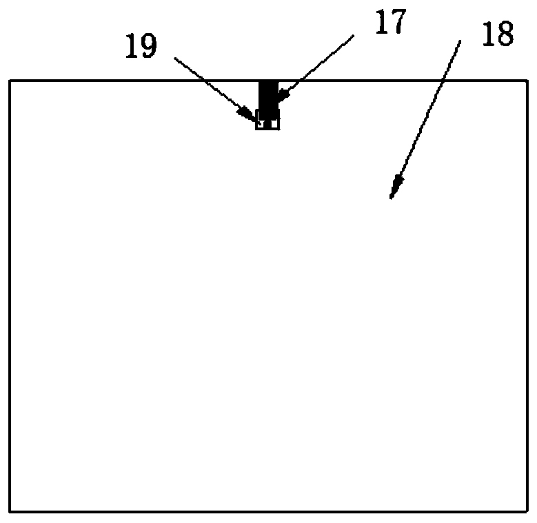
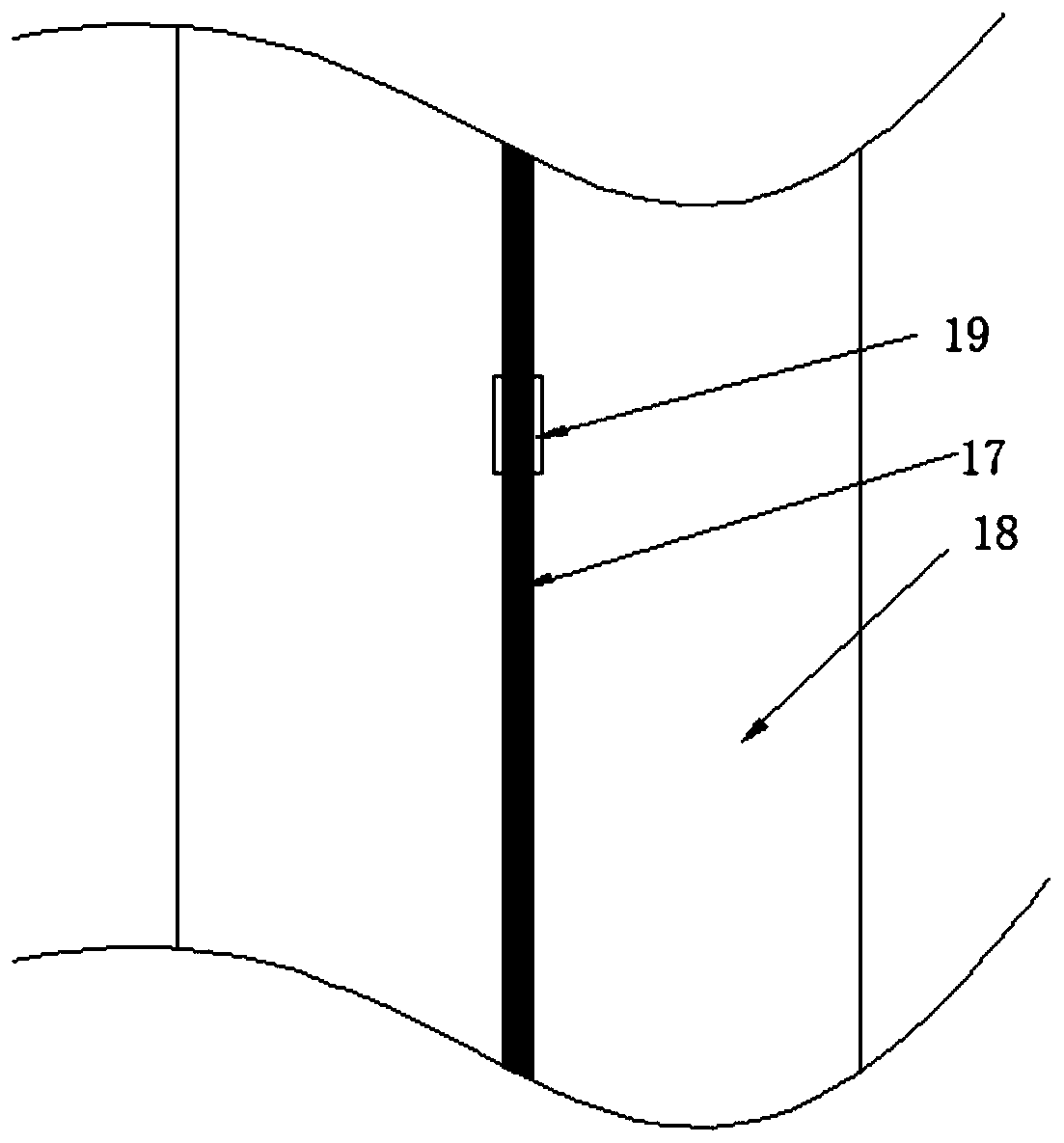
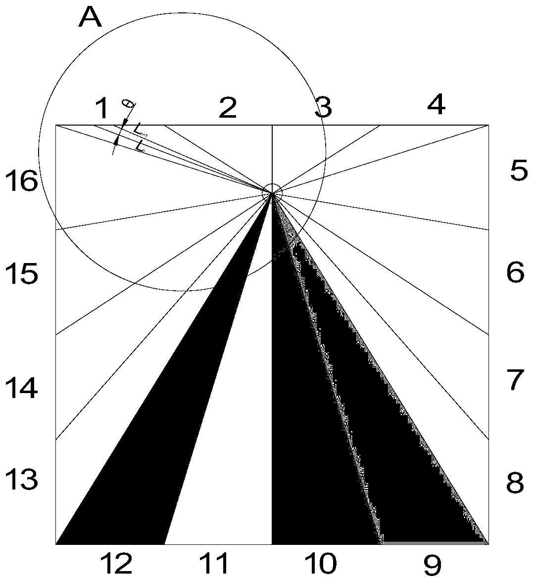
[0043] This embodiment provides a coal mine roadway surface displacement on-line monitoring and early warning system, such as Figure 1 to Figure 5 As shown, it includes a control unit Z1, a processing unit Z2, an analysis unit Z3 and an early warning unit Z4; the control unit includes a traveling mechanism, a rotating mechanism, a laser rangefinder 19, a data memory, a control chip and a data transmission line; the walking structure is used for laser The range finder 19 moves in the roadway, and the rotating mechanism is used to control the laser range finder 19 to rotate 360° along the section of the coal mine roadway; the laser range finder 19 is used to collect roadway surface deformation data; the data memory is used to store roadway surface deformation data , and transmit it to the computer through the data transmission line; the processing unit is used to process the data stored in the data memory; the analysis unit is used to analyze the data of each measuring point.
...
Embodiment 2
[0067] This embodiment provides a coal mine roadway surface displacement online monitoring method, using the coal mine roadway surface displacement online monitoring system provided in Example 1, the monitoring method includes the following steps:
[0068] Step 1, select the target roadway, set up a guide rail at the center line of the roadway roof, and the laser range finder 19 uses the guide rail to move in the roadway; the light emitted by the laser range finder 19 at the center line of the roadway is adjusted to be perpendicular to the center line of the roadway, Set the monitoring parameters in the control unit, determine the rotation angle θ and the moving distance A of the laser range finder 19, measure the data of the measuring points at different times, different angles and different positions and establish a monitoring database, and use the monitoring data in the monitoring database to establish roadways 3D model diagram of the monitoring system;
[0069] Step 2, tur...
PUM
 Abstract
Description
Claims
Application Information
 - R&D
- Intellectual Property
- Life Sciences
- Materials
- Tech Scout
- Unparalleled Data Quality
- Higher Quality Content
- 60% Fewer Hallucinations
Browse by: Latest US Patents, China's latest patents, Technical Efficacy Thesaurus, Application Domain, Technology Topic, Popular Technical Reports.
© 2025 PatSnap. All rights reserved.Legal|Privacy policy|Modern Slavery Act Transparency Statement|Sitemap|About US| Contact US: help@patsnap.com


