

GIS-based method and device for management and control of internal fire-fighting equipment in buildings
A technology of fire-fighting equipment and GIS maps, which is applied in the field of fire-fighting equipment management and control in buildings based on GIS. Safety and the effect of reducing the burden of inspection work
- Summary
- Abstract
- Description
- Claims
- Application Information
AI Technical Summary
Problems solved by technology
Method used
Image

Examples
Embodiment 1
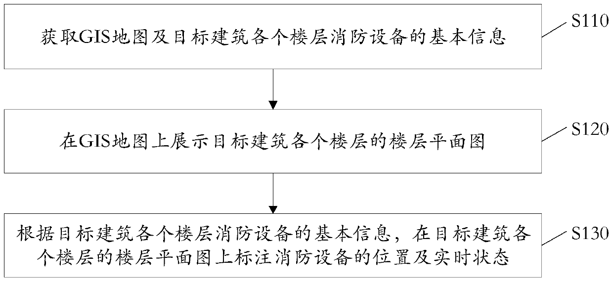
[0054] see figure 1 , figure 1 It is a schematic flowchart of a GIS-based method for managing and controlling fire-fighting equipment inside a building provided by the embodiment of the present application. In the embodiment of the present application, the execution body that executes the following GIS-based method for managing and controlling fire protection equipment inside a building may be a server.
[0055] The GIS-based building internal fire control method of the embodiment of the present application comprises the following steps:
[0056] Step S110, obtaining the GIS map and the basic information of the fire-fighting equipment on each floor of the target building.
[0057] In this embodiment, GIS refers to Geographic Information System, geographic information system or geographic information system.
[0058] The target building can be a high-rise building, a building of a key unit or a community building, etc.
[0059] Fire-fighting equipment includes fire-fighting...
Embodiment 2
[0103] In order to implement the method corresponding to the first embodiment above to achieve corresponding functions and technical effects, a GIS-based fire control device for building internal fire protection equipment is provided below.
[0104] see Figure 5 , Figure 5 The structural block diagram of the GIS-based internal fire control equipment management and control device provided for the embodiment of this application.
[0105] The GIS-based building interior fire control device of the embodiment of the present application includes:
[0106] The obtaining module 210 is used to obtain the GIS map and the basic information of the fire-fighting equipment on each floor of the target building;
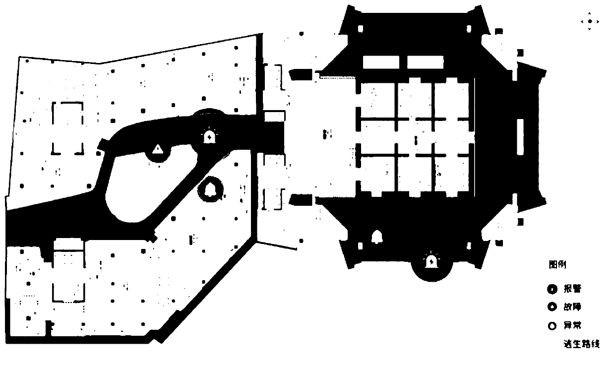
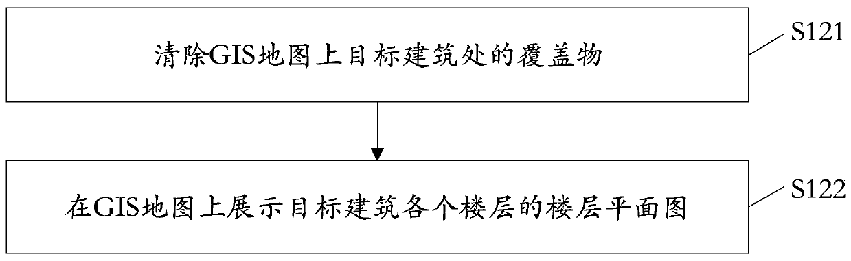
[0107] The display module 220 is used to display the floor plan of each floor of the target building on the GIS map;
[0108] The labeling module 230 is configured to mark the location and real-time status of the firefighting equipment on the floor plan of each floor of the tar...
Embodiment 3
[0127] An embodiment of the present application provides an electronic device, including a memory and a processor, the memory is used to store a computer program, and the processor runs the computer program to enable the electronic device to execute the above-mentioned GIS-based building interior fire protection equipment control methods.
[0128] Optionally, the above-mentioned electronic device may be a server.
[0129] In addition, an embodiment of the present application further provides a computer-readable storage medium, which stores the computer program used in the above-mentioned electronic device.
PUM
 Abstract
Description
Claims
Application Information