Rail type liftable high-altitude surveying and mapping jacking system

A rail-type, jacking technology, applied in the field of surveying and mapping, can solve the problems of time-consuming and laborious instruments and people, laborious manufacturing and installation, complex structure, etc., and achieve the effect of easy portability, wide applicable height range, and stable support.

Pending Publication Date: 2020-06-26
TIANJIN UNIV
View PDF0 Cites 0 Cited by
  • Summary
  • Abstract
  • Description
  • Claims
  • Application Information

AI Technical Summary

Problems solved by technology

[0003] In the process of surveying and mapping, various surveying and mapping instruments are needed, such as electronic total station, three-dimensional laser scanner, etc. The surveying and mapping instruments are generally placed on the surveying and mapping support for use. According to this requirement, the height of the existing surveying and mapping supports is controlled below two meters, but in fact, ma

Method used


Image

  • Rail type liftable high-altitude surveying and mapping jacking system
  • Rail type liftable high-altitude surveying and mapping jacking system
  • Rail type liftable high-altitude surveying and mapping jacking system

Examples


Embodiment Construction

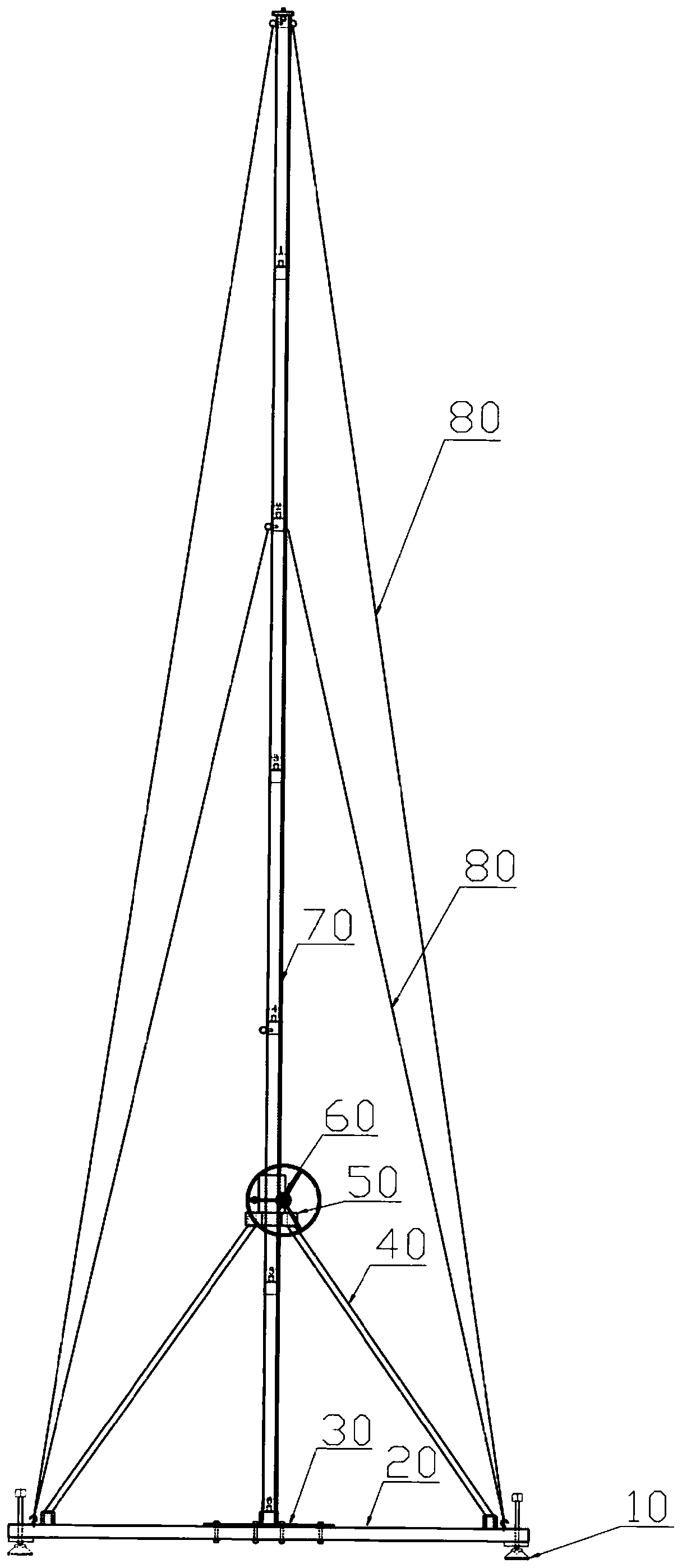
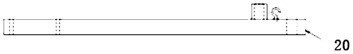
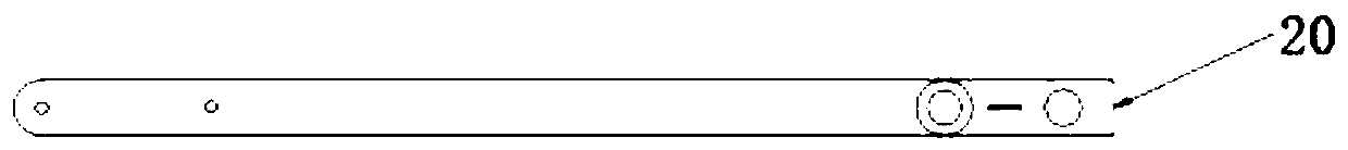
[0032] The specific implementation manner of the present invention will be described in detail below in conjunction with the accompanying drawings and preferred embodiments. Such as Figure 1-Figure 4b As shown, a rail-type liftable high-altitude surveying and mapping jacking system includes a leveling foot support 10, a frame leg 20, a chassis 30, a support rod 40, a positioning plate 50, a hand-operated power unit 60, a rail-type elevating rod 70 and Stabilizing steel wire 80; the inner end of the frame leg is fixedly connected to the side of the chassis, the outer end of the frame leg is fixed to the leveling foot support, the positioning plate is located directly above the chassis, and the positioning plate passes through the The support rod is connected with the frame leg, the hand-operated power device is mounted on the positioning plate, and controls the lifting of the rail-type lifting rod. One end of the stable steel wire is fixed on the rail-type lifting rod, and the...


PUM


Abstract

The invention relates to the technical field of surveying and mapping, in particular to a rail type liftable high-altitude surveying and mapping jacking system. The system comprises leveling foot supports, frame legs, a base plate, supporting rods, a positioning plate, a hand-operated power device, a rail type lifting rod and stabilizing steel wires, wherein the inner ends of the frame legs are fixedly connected with the side portion of the base plate, the leveling foot supports are fixed to the outer ends of the frame legs, the positioning plate is located right above the base plate, the positioning plate is connected with the frame legs through the supporting rods, the hand-operated power device is carried on the positioning plate and controls the rail type lifting rod to lift up and down, and one end of each stabilizing steel wire is fixed to the rail type lifting rod, while the other end is fixed to the outer end of the corresponding frame leg. The structure is stable in overall supporting, high in rigidity and not prone to shake.

Description

technical field [0001] The invention relates to the technical field of surveying and mapping, in particular to a rail-type lifting system for high-altitude surveying and mapping. Background technique [0002] Surveying and mapping is based on computer technology, photoelectric technology, network communication technology, space science, and information science. The feature points and boundaries of the project can be obtained by means of measurement to reflect the shape, size, spatial location and other information reflecting the current status of natural geographical elements or artificial facilities on the surface, and then drawn into maps for engineering construction, planning and design, and administrative management. [0003] In the process of surveying and mapping, various surveying and mapping instruments are needed, such as electronic total station, three-dimensional laser scanner, etc. The surveying and mapping instruments are generally placed on the surveying and ma...

Claims


Application Information

Patent Timeline
IPC IPC(8): F16M11/28B66F3/02
CPCB66F3/02F16M11/28F16M2200/027F16M2200/04F16M2200/048
Inventor 白成军李尧李声能张志强
Owner TIANJIN UNIV
Why Eureka
Try Eureka