

Surveying and mapping method for automatically scanning road by airborne three-dimensional laser scanner
An automatic scanning, three-dimensional laser technology, applied in the field of UAV surveying and mapping, can solve problems such as crashes and reduce collisions
- Summary
- Abstract
- Description
- Claims
- Application Information
AI Technical Summary
Problems solved by technology
Method used
Image

Examples
Embodiment Construction
[0020] The following will be further described in detail below with reference to specific embodiments:
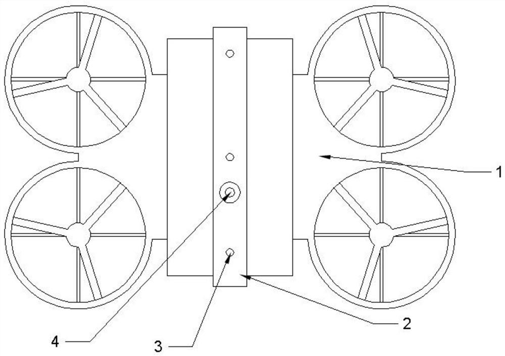
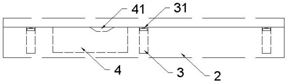
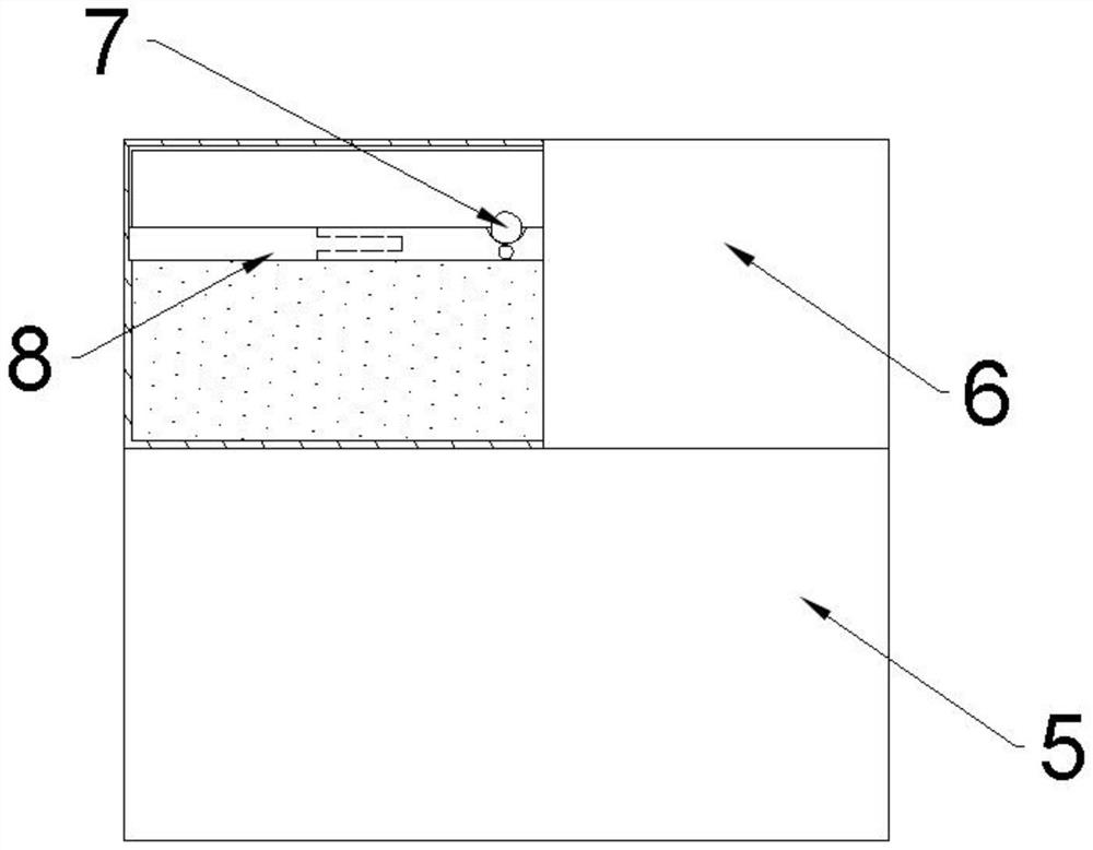
[0021] Reference numerals in the drawings include: driver, support frame 2, trigger member 3, triggering switch 31, air supply 4, air outlet 41, battery bin 5, regulating box 6, adjustment member 7, horizontal plate 8 .
[0022] Embodiments are basically figure 1 with figure 2 As shown: the air-boring three-dimensional laser scanner automatically scan the road mapping method, including the following steps:
[0023] Flight Steps: Drone 1 Flight according to the preset flight route;
[0024] Scan step: The scanner mounted on the drone 1 scans the scenery in the flight route and obtains three-dimensional coordinates of the surface of the measured object, and processes the obtained three-dimensional coordinates to obtain the mapping image;
[0025] Protection step: When the communication module of the drone 1 is turned on, the protective system set up on the installation cavity on ...
PUM
 Abstract
Description
Claims
Application Information