

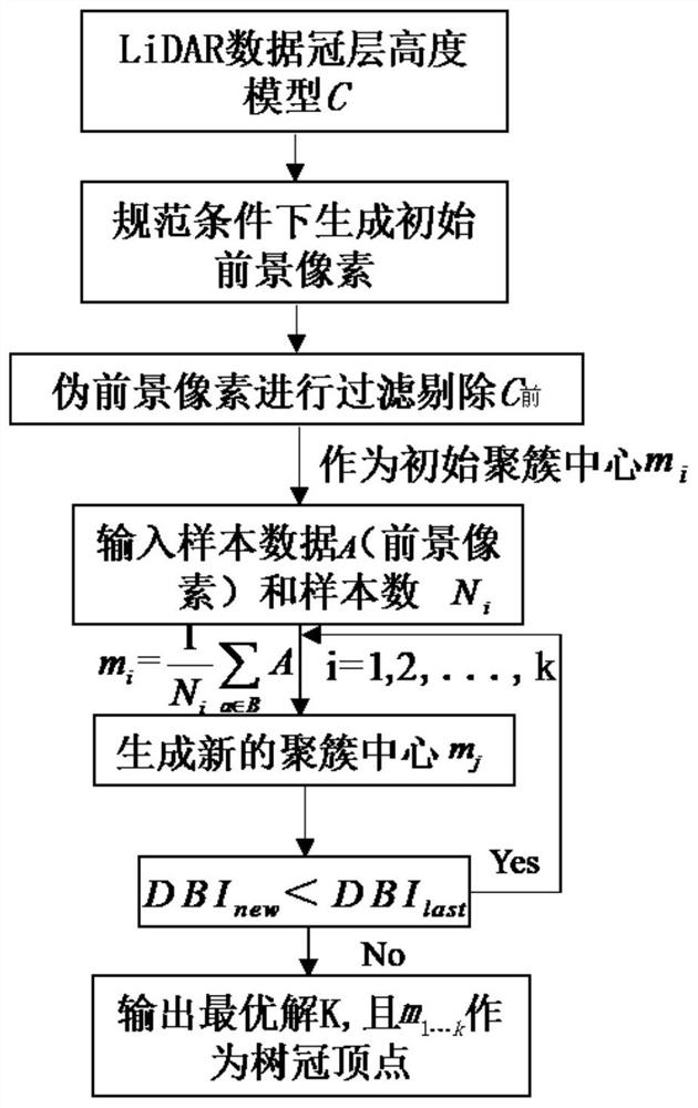
DBI tree vertex detection method for airborne lidar point cloud data chm
A technology of airborne lidar and point cloud data, which is applied in image data processing, computer components, image analysis, etc., to avoid threshold dependence, solve the problem of ambiguous tree vertices, and achieve effective recognition
- Summary
- Abstract
- Description
- Claims
- Application Information
AI Technical Summary
Problems solved by technology
Method used
Image

Examples
Embodiment
[0018] (1) Set the maximum terrain slope: set the maximum terrain slope displayed in the point cloud to 80°;
[0019] (2) Set the iteration angle: the conversion angle of all allowable values between the ground classification points to be measured and the currently known ground classification points is 8°;
[0020] (3) Set the iteration distance: the distance threshold between the point to be classified and the triangulation network is set to 1.6m;
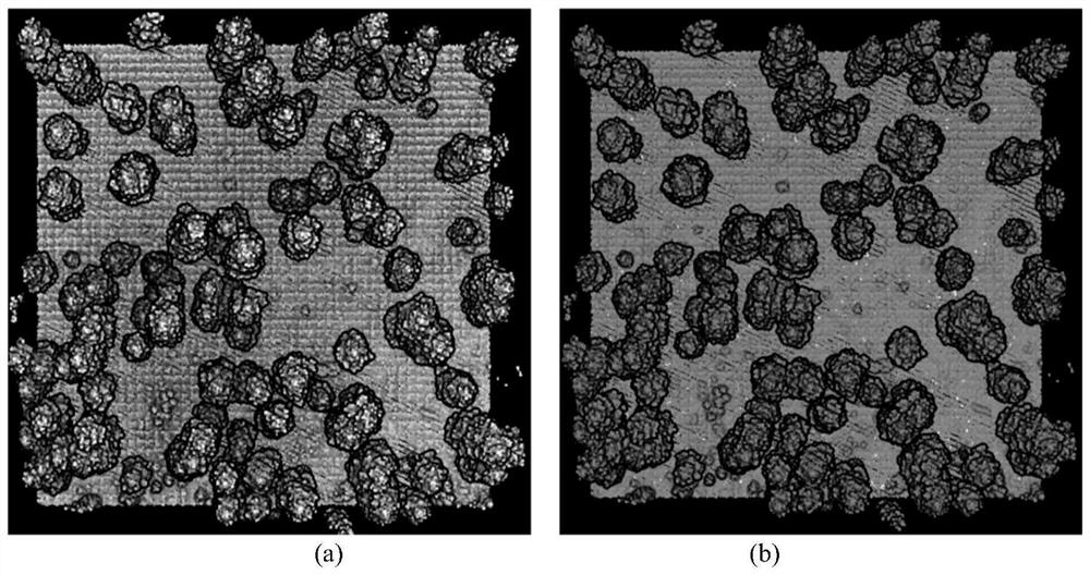
[0021] Using the above method, filter and classify the point cloud of the experimental plot, and display the separated ground point class in brown, and the separated vegetation point class in green.
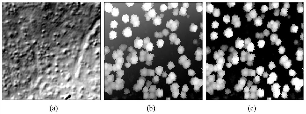
[0022] Step 2) Combine figure 2 , use the filtered and classified point cloud data to generate DEM, DSM, CHM. The DSM and DEM of the experimental forest area were respectively generated by using the TIN calculation method for the non-ground laser point cloud and the ground reflection laser point cloud. After many experiments in...
PUM
 Abstract
Description
Claims
Application Information