Decision system for crop efficiency product application using remote sensing based soil parameters
A technology of soil parameters and remote sensing data, applied in application, soil material testing, material inspection, etc., can solve problems such as negative yield response, unstable yield response of crop enhancement products, negative response, etc.
- Summary
- Abstract
- Description
- Claims
- Application Information
AI Technical Summary
Problems solved by technology
Method used
Image
Examples
Embodiment Construction
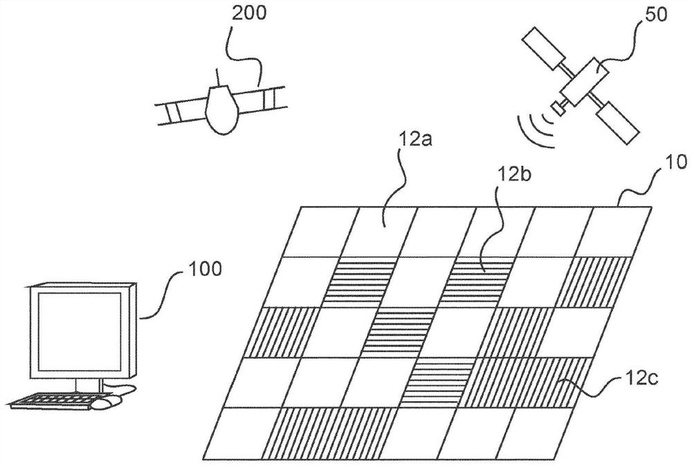
[0047] figure 1 A block diagram of an embodiment of a computer-implemented method for applying a crop enhancement product in a field 10 is shown. figure 2 An example of a field 10 is shown in . In step S10, the remote sensing data of the field may be collected before the crop enhancement product is applied in the field. Remote sensing data can be collected using satellites, drones or radar platforms. To collect remote sensing data, drones can be equipped with visual, IR, NIR, and / or thermal sensors. In another example, passive or active remote sensing of radar rays can be used to collect remote sensing data.
[0048] In step S20, at least one soil parameter at a plurality of locations in the field is determined based on the collected remote sensing data. For example, if figure 2 As shown in , a field 10 is divided into a plurality of grids in the form of rectangular arrays of equally sized squares 12a, 12b, 12c. The at least one soil parameter may be determined at a pl...
PUM
 Abstract
Description
Claims
Application Information
 - R&D
- Intellectual Property
- Life Sciences
- Materials
- Tech Scout
- Unparalleled Data Quality
- Higher Quality Content
- 60% Fewer Hallucinations
Browse by: Latest US Patents, China's latest patents, Technical Efficacy Thesaurus, Application Domain, Technology Topic, Popular Technical Reports.
© 2025 PatSnap. All rights reserved.Legal|Privacy policy|Modern Slavery Act Transparency Statement|Sitemap|About US| Contact US: help@patsnap.com


