Vegetation classification and biomass inversion method based on remote sensing data

A technology of remote sensing data and biomass, applied in character and pattern recognition, instrument, scene recognition, etc., can solve the problems of high cost, high work intensity and long time consumption of field survey methods

Pending Publication Date: 2022-05-06
NANJING FORESTRY UNIV
View PDF0 Cites 0 Cited by
  • Summary
  • Abstract
  • Description
  • Claims
  • Application Information

AI Technical Summary

Problems solved by technology

Among the methods for estimating biomass, the field survey method is labor-intensive, costly, and time-consuming, and lacks temporal and spatial covera...

Method used


Image

  • Vegetation classification and biomass inversion method based on remote sensing data
  • Vegetation classification and biomass inversion method based on remote sensing data
  • Vegetation classification and biomass inversion method based on remote sensing data

Examples


Embodiment

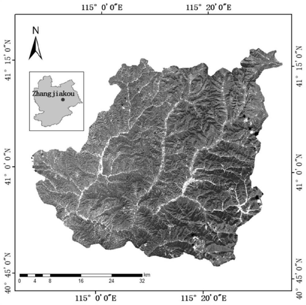
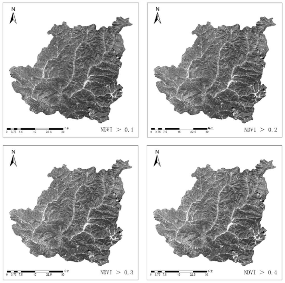
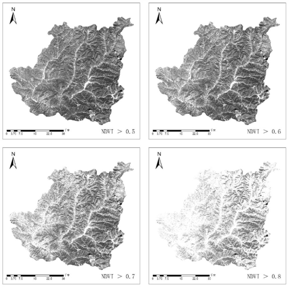
[0034] The demonstration research area is Chongli District, Zhangjiakou City, Hebei Province. figure 1 It is a color satellite image map of Chongli District. The source of remote sensing data is Sentinel-2B satellite data. Sentinel-2B satellite is an important part of the Copernicus program (Global Monitoring for Environment and Security, GMES) component. The Sentinel-2B satellite was launched by the European Space Agency on March 7, 2017 and put into orbit. This satellite can provide images in three bands with resolutions of 10m, 20m and 60m. The L1C satellite remote sensing data used in this study were downloaded from the website of the European Space Agency.

[0035] Atmospheric correction was performed on the 10m and 20m resolution bands of the L1C level remote sensing data through the Sen2Cor plug-in provided by the European Space Agency, and the L2A level data was obtained after correction. Then use the European Space Agency SNAP (Sentinel Application Platform) softwa...


PUM


Abstract

The invention discloses a vegetation classification and biomass inversion method based on remote sensing data, and belongs to the field of mechanical learning algorithms. On the basis of multispectral data of a Sentinel-2B satellite, a vector boundary and a normalized vegetation index research area are used for extraction, then earth surface vegetation of a chonggift area is classified through a K-means clustering algorithm, and a classification result can be combined with a biomass inversion model to calculate the total biomass of an investigation area. A regional biomass inversion equation is constructed through multispectral remote sensing data and topographic data, an optimal biomass model of shrubby, broad-leaved forest and coniferous forest is obtained through multiple linear regression, the overall precision can reach 90% or above, and the survey precision requirement can be met.

Description

technical field [0001] The invention belongs to the field of machine learning algorithms, in particular to a vegetation classification and biomass inversion method based on remote sensing data. Background technique [0002] Vegetation classification is the basis for studying the state of forest resources and the law of dynamic changes. Traditional ground surveys relying on manpower are costly and long-term. The use of remote sensing technology can identify vegetation types more quickly and accurately, and through the analysis of the spectral characteristics of remote sensing data, the surface vegetation can be distinguished. Early application research on vegetation remote sensing classification was mainly based on visual interpretation, but the accuracy of interpretation often depends on the image quality and the experience of the interpreter, and the operation cycle is long and the timeliness is poor. [0003] Existing research on vegetation classification is mainly concen...

Claims


Application Information

Patent Timeline
IPC IPC(8): G06V20/13G06K9/62G06V10/762G06V10/764
CPCG06F18/23213G06F18/24147
Inventor 高德民郭在军业巧林牛海峰谢瑞王海娇李云涛闫海平王丹
Owner NANJING FORESTRY UNIV
Why Eureka
Try Eureka