Real-time panoramic three-dimensional digital construction site map supervision system and method
A three-dimensional digital and supervisory system technology, applied in transmission systems, closed-circuit television systems, electrical digital data processing, etc., to solve problems such as unnavigable construction sites, single system functions, and difficulty in tracing events
- Summary
- Abstract
- Description
- Claims
- Application Information
AI Technical Summary
Problems solved by technology
Method used
Image
Examples
Embodiment Construction
[0043] In order to make the objectives, technical solutions and advantages of the present invention clearer, the present invention will be further described in detail below with reference to the accompanying drawings and embodiments. It should be understood that the specific embodiments described herein are only used to explain the present invention, but not to limit the present invention. In addition, the technical features involved in the various embodiments of the present invention described below can be combined with each other as long as they do not conflict with each other.
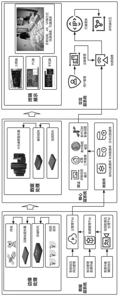
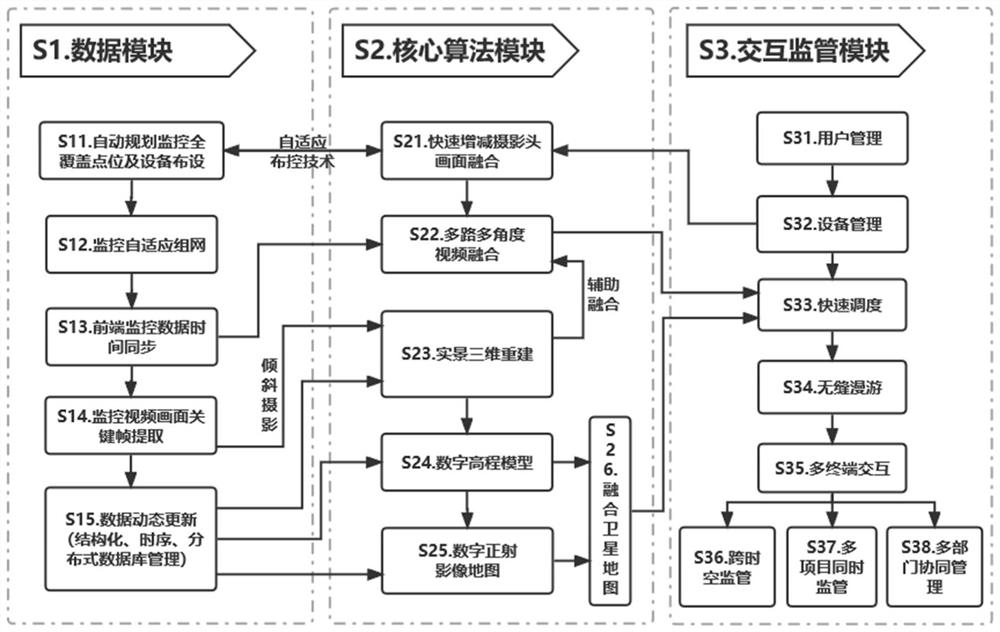
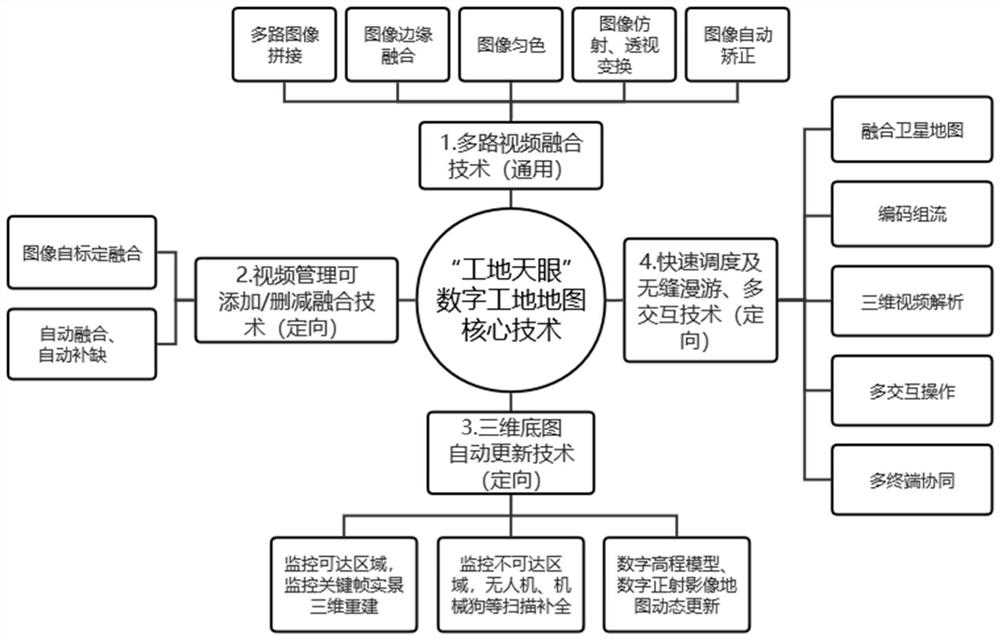
[0044]The invention relates to the technical fields of image fusion processing, photogrammetry, fusion of video data and real three-dimensional models, virtual reality enhancement, data collaborative interaction, digital construction, intelligent construction, safe green construction, video security supervision and the like, and discloses a real-time panoramic three-dimensional A digital constructio...
PUM
 Abstract
Description
Claims
Application Information
 - R&D
- Intellectual Property
- Life Sciences
- Materials
- Tech Scout
- Unparalleled Data Quality
- Higher Quality Content
- 60% Fewer Hallucinations
Browse by: Latest US Patents, China's latest patents, Technical Efficacy Thesaurus, Application Domain, Technology Topic, Popular Technical Reports.
© 2025 PatSnap. All rights reserved.Legal|Privacy policy|Modern Slavery Act Transparency Statement|Sitemap|About US| Contact US: help@patsnap.com


